
Among the atlases: Atlas of Sweden
Parmi les atlas : Atlas över Sverige
- Publication
- L'Information Géographique
- Volume
- 36
- Issue
- 3
- Pages
- 203–204
Sweden · Version 1
1971–2014View whole-article summary
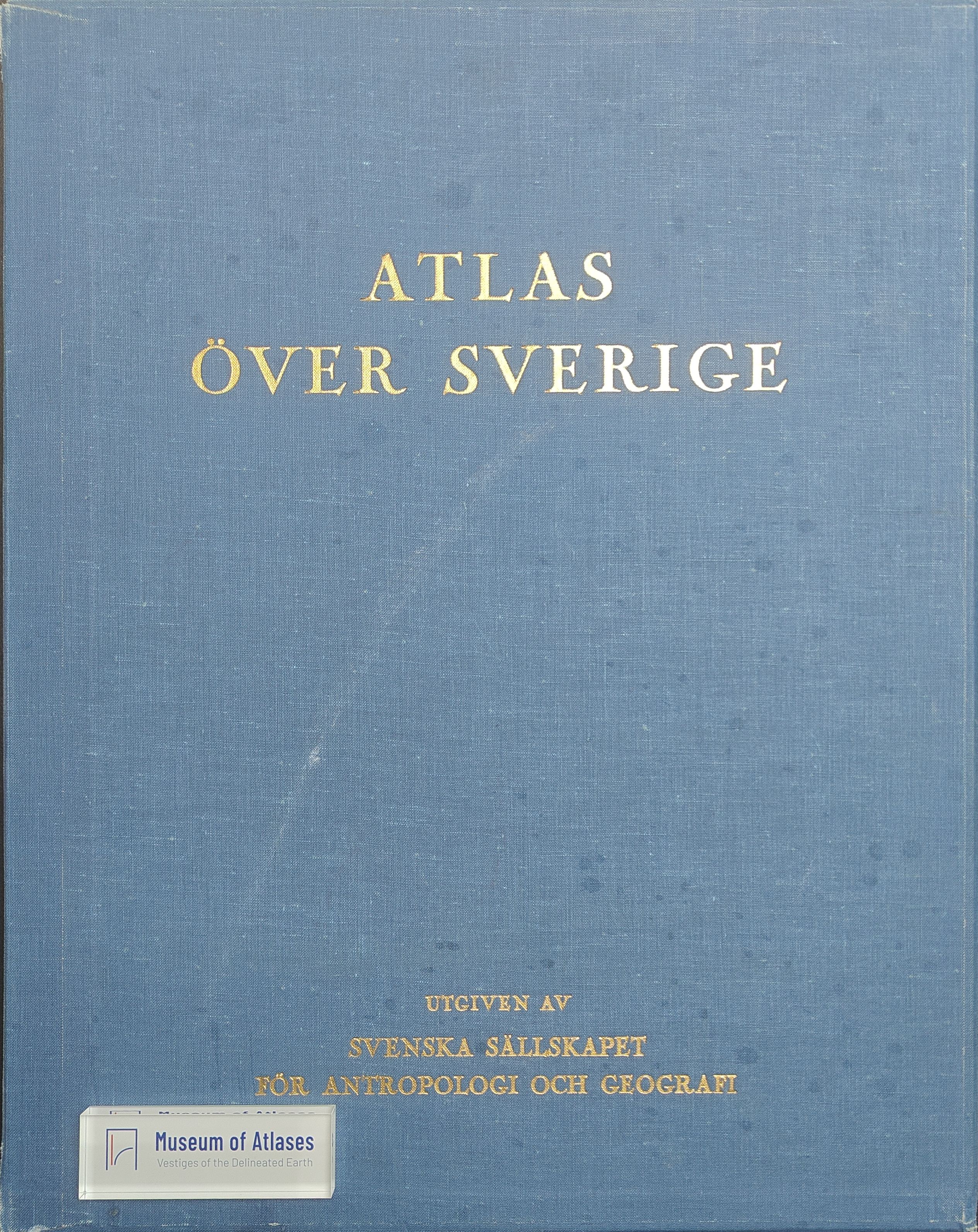
This review presents Atlas över Sverige (National Atlas of Sweden), issued in 75 fascicles between 1953 and 1971, as a landmark in national cartography. It examines the atlas’s design, scope, and scholarly value, emphasizing its innovative conception, exceptionally refined maps, and substantial production resources. The nearly 500 folio pages combine central maps, commonly at a scale of 1:2,000,000, with commentary, diagrams, graphs, drawings, photographs, and extensive English summaries. Covering virtually every dimension of Sweden’s physical and human geography, the work is especially distinguished by inventive representations of population distribution, economic activities, and Sámi migration routes, seasonal stations, and grazing resources. Although its large, separately bound format makes consultation difficult, the atlas constitutes both a monumental synthesis and a concise record of geographical knowledge about Sweden.
Comments
Loading...
0/2000