
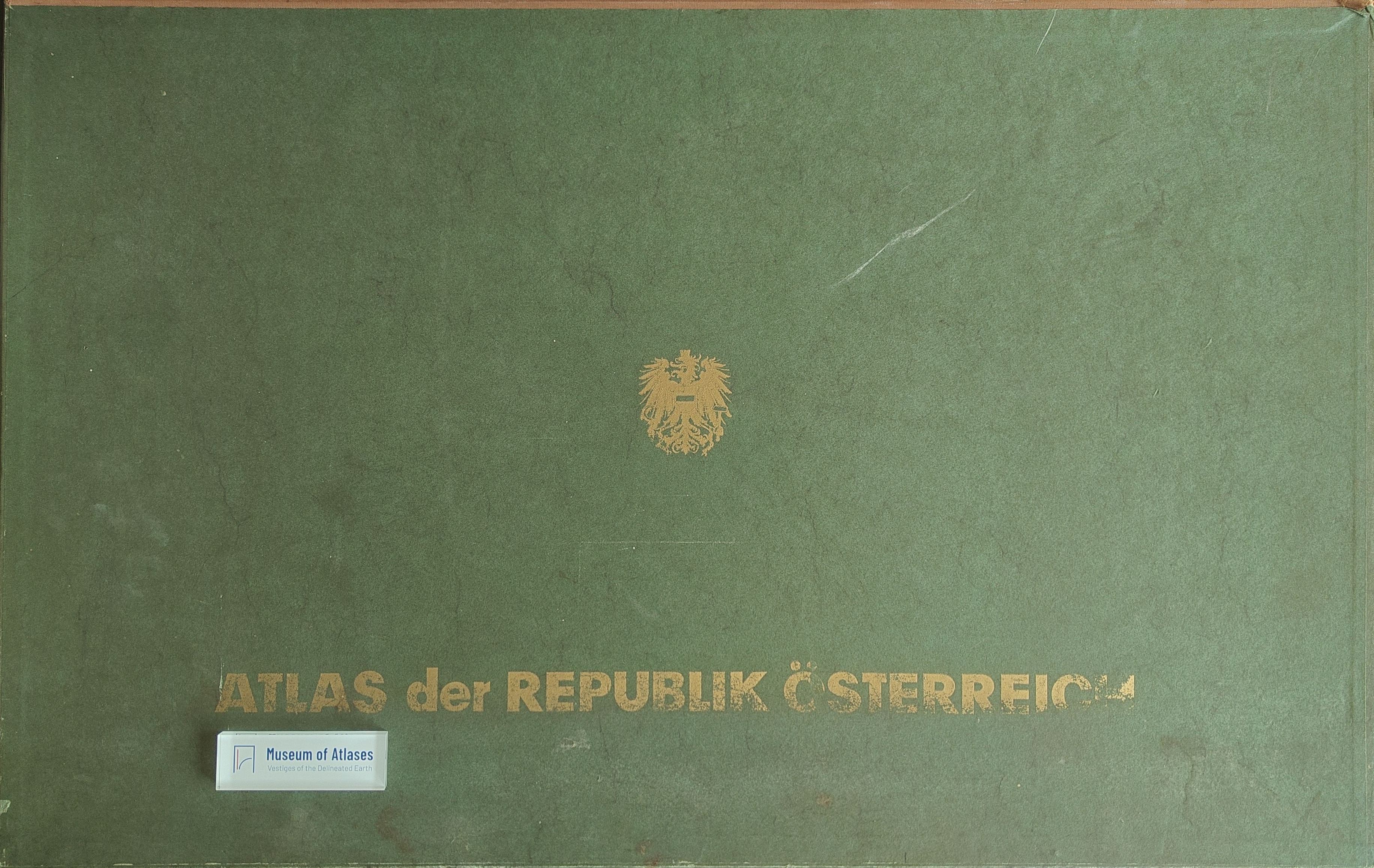
First issue of the national atlas of the Republic of Austria
Первый выпуск национального атласа Австрийской Республики
- Publication
- Геодезия и картография
- Issue
- 8
- Pages
- 72-76
Austria · Version 1
1980–1986View whole-article summary
This article reviews the first installment of the National Atlas of the Republic of Austria, published in 1961, and assesses its thematic structure, cartographic methods, and scholarly value in light of the project’s overall plan. Prepared under the Austrian Academy of Sciences by the Commission for Regional Studies, the atlas was designed to appear in five installments followed by a concluding volume and general table of contents. The completed work was expected to contain 85 principal maps at 1:1,000,000, approximately 140 smaller-scale maps, and numerous diagrams, graphs, and city plans, thereby providing a comprehensive account of Austria’s European position, historical development, natural environment, population, economy, culture, administration, and government. The first installment comprises nineteen map sheets and three sheets listing administrative-territorial units. Its content is predominantly socioeconomic: fourteen sheets address settlement history, Vienna’s building patterns, agriculture, transport, external relations, administration, religion, culture, and the 1959 National Council election. Five sheets cover physical geography, including topography, precipitation, snow-cover duration, seasonal sunshine, and phenology. The article examines projection, scale, color design, symbols, and thematic representation. It particularly praises the expressive land-use map, the transport-flow maps, and the generally effective climatic maps, as well as the extensive source base, high printing quality, balanced colors, and unobtrusive typography. Several deficiencies are also identified. Mountain landforms are insufficiently differentiated on the hypsometric map; some thematic maps use an excessively reduced geographical base; similar colors make urban areas difficult to distinguish from exposed rock; and the projected atlas omits important subjects such as tectonics, wind regimes, climate types, solar radiation and radiation balance, as well as synthetic maps of industry and the national economy. Because no section had yet been published in full, a definitive judgment about thematic completeness was considered premature. Nevertheless, the first installment and the announced map list indicate that the finished atlas would offer a broad, scientifically current representation of Austria and serve as a major national reference work.
Comments
Loading...
0/2000