
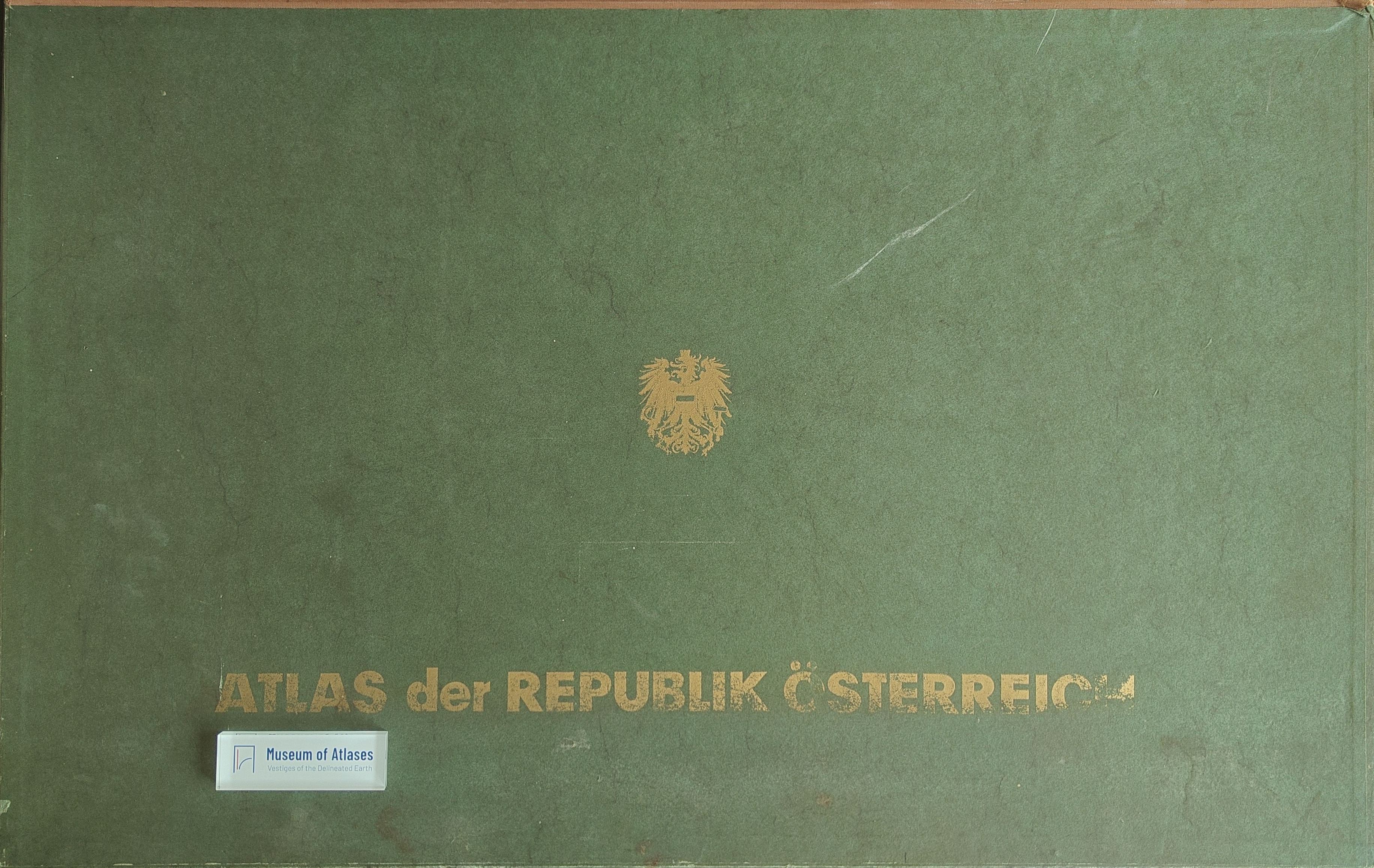
Book reviews: Atlas of the Republic of Austria
Besprechungen: Atlas der Republik Österreich
- Publication
- Kartographische Nachrichten
- Volume
- 19
- Issue
- 2
- Pages
- 82-83
Austria · Version 1
1980–1986View whole-article summary
This review examines the first part of the fourth installment of the Atlas of the Republic of Austria, comprising eleven map sheets on settlement, population, agriculture, forestry, and spatial planning. It highlights detailed classifications of medieval urban and market-town forms, comparative demographic maps for 1880–1961, and visualizations of crop yields and long-term agricultural change. Particular attention is given to the methodologically innovative map of access to central services, which combines proportional sector symbols, graded regional coverage, and a hierarchy of central places to reveal spatial disparities. Despite minor concerns about insufficiently strong symbol coloring, the reviewer emphasizes the atlas’s rich content, scientific value, and excellent cartographic production, concluding that it holds a distinguished position among national atlases.
Comments
Loading...
0/2000