
Atlas of Sweden
Атлас Швеции
- Publication
- Известия Академии наук СССР. Серия географическая
- Issue
- 4
- Pages
- 125–128
Sweden · Version 1
1971–2014View whole-article summary
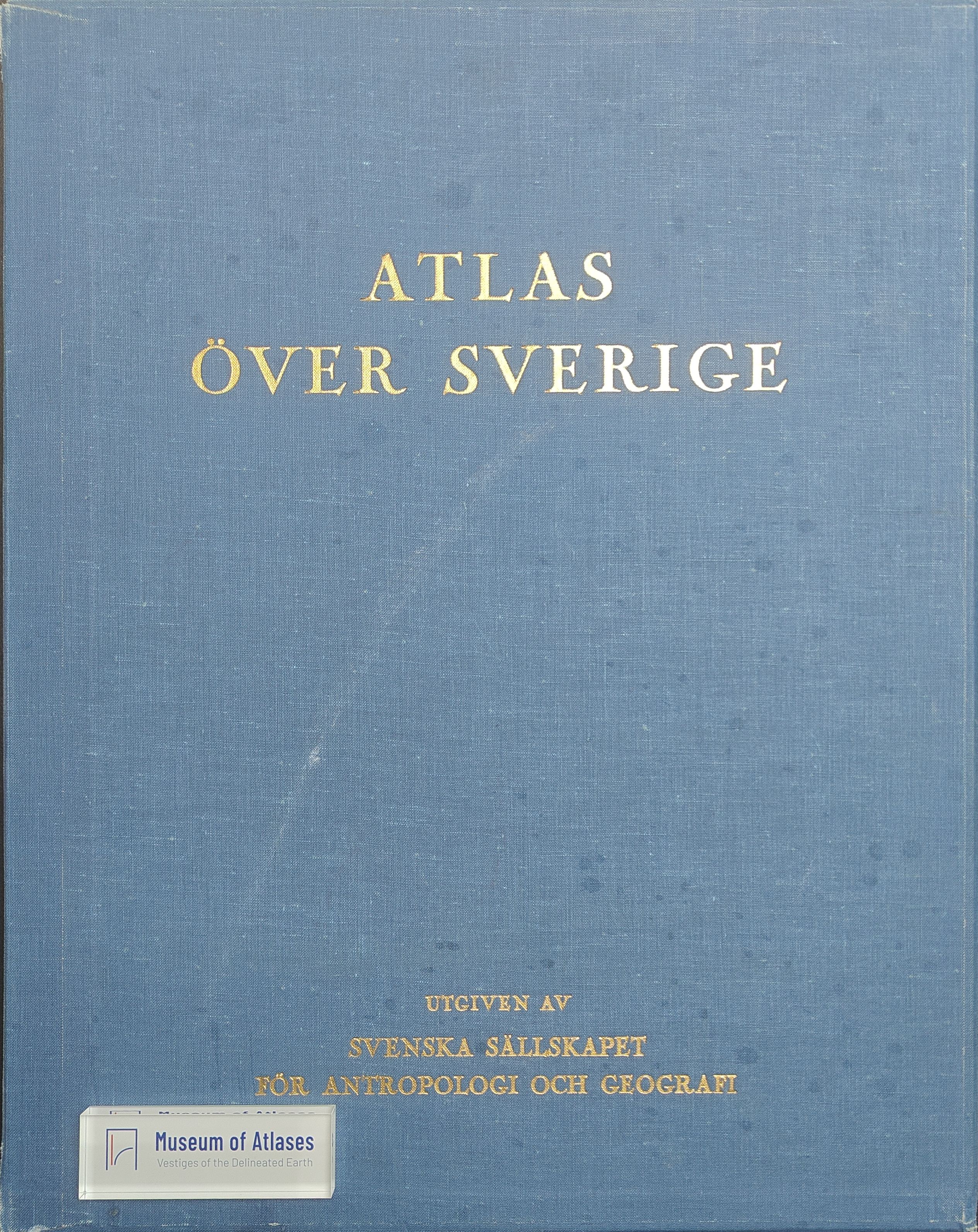
This article reviews the conception, organization, content, cartographic methods, and scholarly value of the Atlas of Sweden, a national project initiated in 1948 after earlier plans dating from 1899 had been postponed. Prepared under the Swedish Society for Anthropology and Geography with support from scientific institutions, government subsidies, private funding, and the Esselte publishing group, the atlas was designed to provide a systematic geographical account of Sweden for both research and practical planning. Its projected contents comprise 150 multicolour sheets containing approximately 1,000 maps, accompanied by 600 pages of explanatory text. The thematic structure covers relief and geology, climate and hydrology, biogeography, population, agriculture, forestry, industry, transportation, trade, socioeconomic and cultural conditions, politics, and history. Drawing on institutional statistics, field surveys, archival research, and the expertise of leading Swedish scholars, the maps employ several scales, principally 1:2,000,000. The review highlights major achievements in physical geography, including the first nationwide hypsometric and relief-energy maps, detailed geological and Quaternary-deposit maps, reconstructions of glacial retreat, and extensive climatic and hydrological mapping. It also discusses maps of forests, fauna, settlement, population, industry, agriculture, mineral resources, and transport. Particular strengths include the systematic processing of diverse data, innovative quantitative symbols, standardized classifications that facilitate comparison, clear colour design, precise printing, and close coordination between maps and explanatory materials. The atlas effectively reveals Sweden’s natural resources, settlement patterns, economic activities, and development potential, giving it considerable scientific, practical, and educational importance. Nevertheless, the article identifies several limitations: analytical maps predominate over synthetic interpretations; maps of natural and economic regionalization are absent; genetic geomorphological and soil maps are lacking; and comprehensive overviews of industry and agriculture are insufficient. Some thematic decisions, such as treating high-altitude ‘cold mountains’ as a separate category of Quaternary deposits, are questioned. In addition, many maps isolate Sweden on a white background rather than depicting its geographical relations with neighbouring countries and surrounding seas. Overall, despite these shortcomings, the Atlas of Sweden is judged a major accomplishment of Swedish geography and cartography. Its comprehensive thematic coverage, methodological sophistication, distinctive visual language, and resource-oriented approach make it a valuable reference for geographers, specialists in related disciplines, planners, and educators.
Comments
Loading...
0/2000