
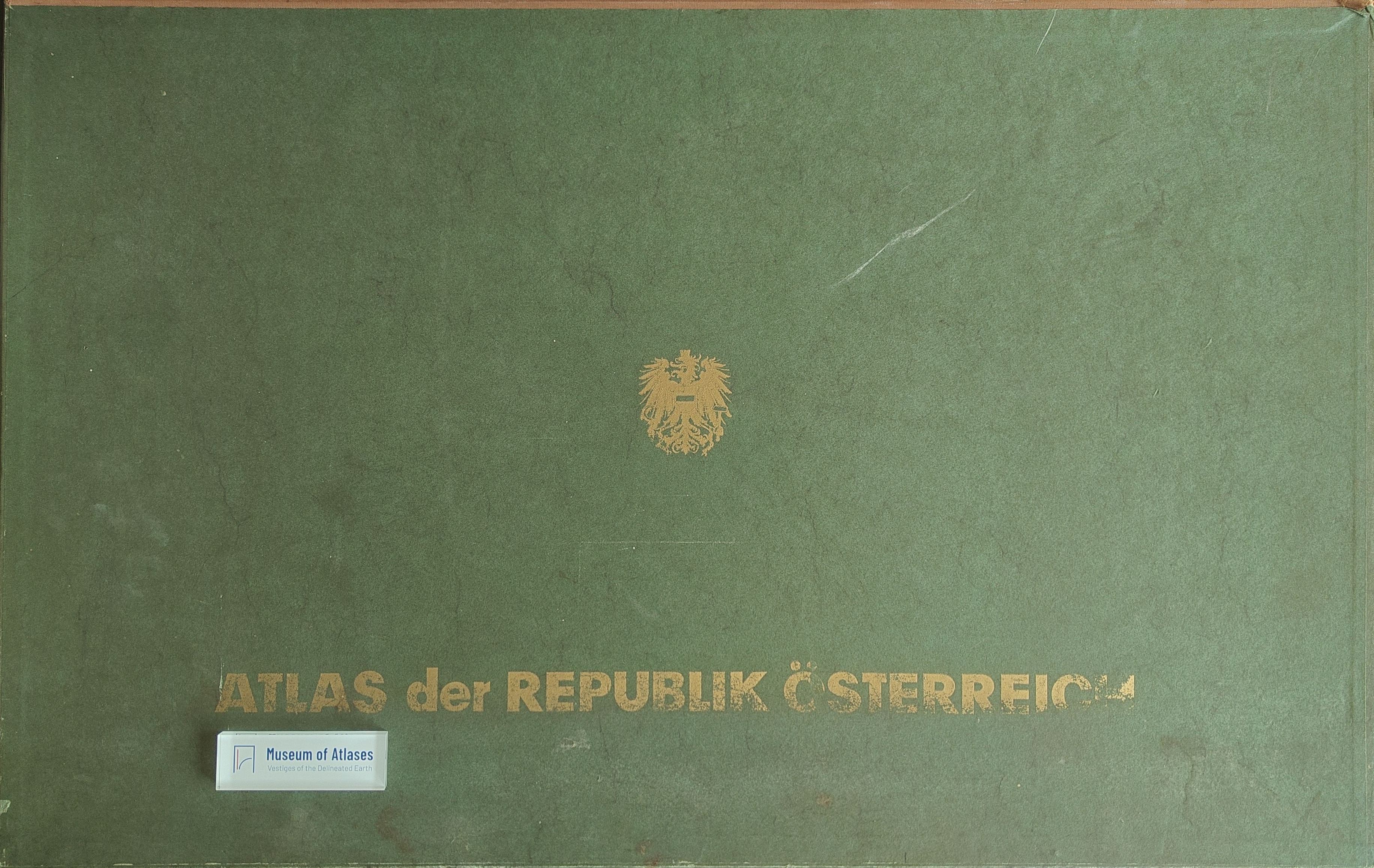
Atlas of the Republic of Austria
Atlas der Republik Österreich
- Publication
- Geodézia és Kartográfia
- Volume
- 22
- Issue
- 1
- Pages
- 78–79
Austria · Version 1
1980–1986View whole-article summary
This review examines the first part of the fourth installment of the Atlas of the Republic of Austria, published in 1968 under the auspices of the Austrian Academy of Sciences. The volume maps settlement history, demographic change, agriculture, and spatial planning. It distinguishes four historical forms of market-town settlement and traces the granting of municipal rights since 1300. Demographic maps visualize births, deaths, marriages, and population development through finely graded color scales. Agricultural sheets present crop yields and cultivated-area ratios, revealing the postwar predominance of wheat and barley, although hectare values are difficult to read and the palette is comparatively limited. Overall, the installment is praised for its rich content and high-quality cartographic execution.
Comments
Loading...
0/2000