
Atlas of the Republic of Austria
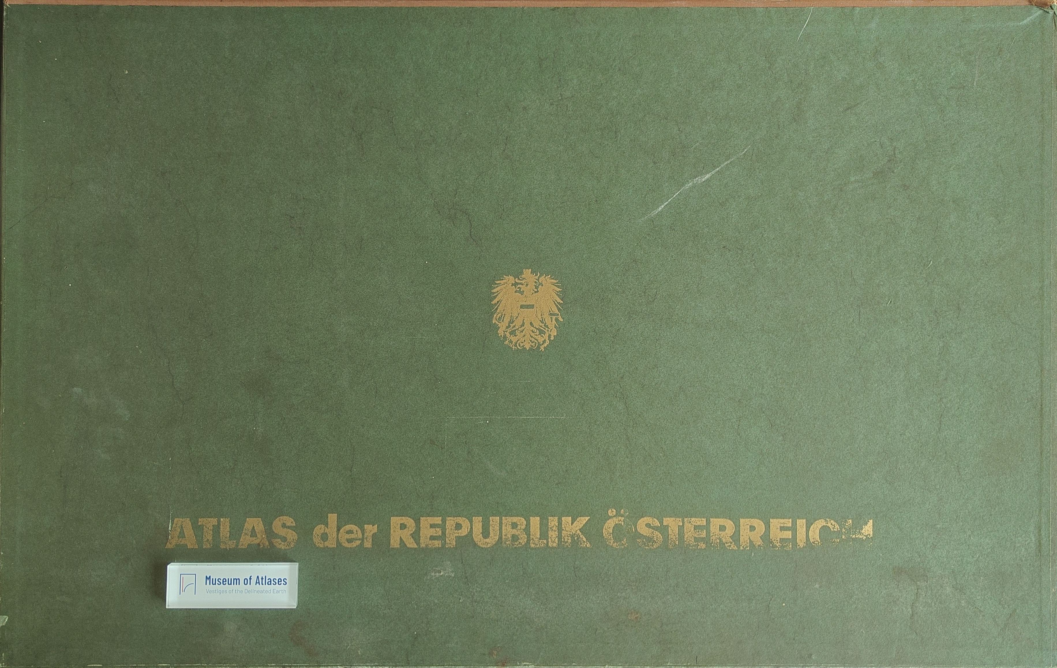
Atlas der Republik Österreich
- Publication
- Studii și cercetări de geologie, geofizică și geografie. Seria geografie
- Volume
- 15
- Issue
- 1
- Pages
- 142–143
Austria · Version 1
1980–1986View whole-article summary
This review examines the first three of five projected installments of the Atlas of the Republic of Austria, published in 1961–1965 under the auspices of the Austrian Academy of Sciences’ Commission for Spatial Research and coordinated by Hans Bobek. Comprising 63 of approximately 125 plates, the atlas combines about 90 principal maps at 1:1,000,000 with numerous smaller-scale supplementary maps, diagrams, sketches, and urban plans. Its twelve systematically balanced sections encompass the natural environment, historical development, settlement, population, economic activities, infrastructure, culture, administration, and territorial organization. The atlas is conceived as a comprehensive “geography in maps,” prioritizing synthetic interpretation and integrating analytical data into the geographical concept of the cultural landscape. Its cartographic approach emphasizes precise topographic location, limited generalization, relief representation across thematic maps, and the disclosure of relationships between natural and socioeconomic phenomena. Innovative products include maps of central places and their spheres of influence, as well as urban building and housing structures. Distinguished by technical accuracy, harmonious color design, and a flexible yet informative base map, the atlas constitutes a foundational reference for Austrian geography and a significant instrument for spatial organization and regional planning, reflecting the country’s advanced geographical and cartographic traditions.
Comments
Loading...
0/2000