
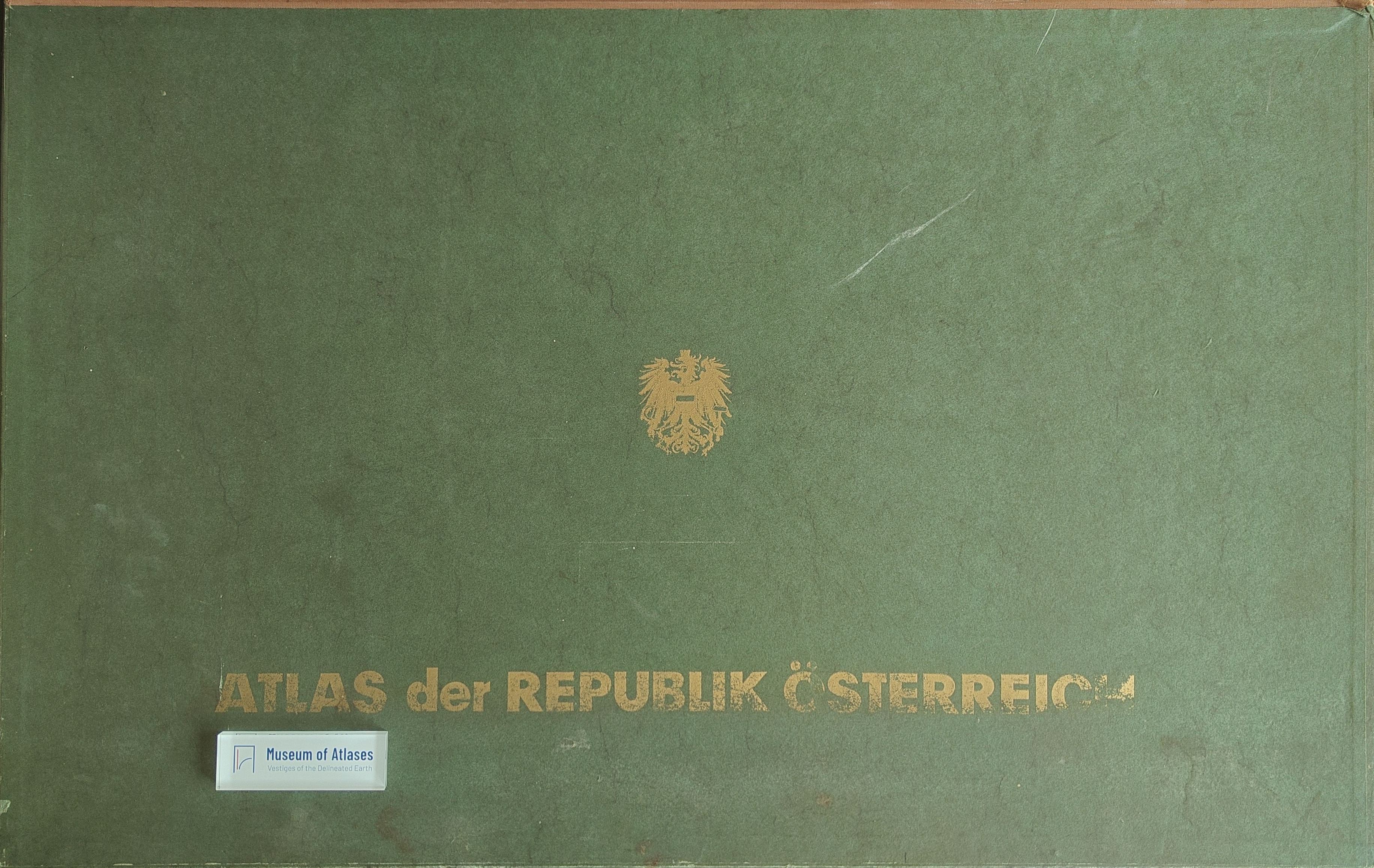
Reviews: Atlas of the Republic of Austria
Anmeldelser: Atlas der Republik Österreich
- Publication
- Geografisk Tidsskrift
- Volume
- 61
- Pages
- 143-144
Austria · Version 1
1980–1986View whole-article summary
This review evaluates the first installment of the Atlas of the Republic of Austria, produced under Hans Bobek by the Austrian Academy of Sciences’ spatial research commission. The planned atlas comprises 85 principal maps at 1:1,000,000, supplemented by 140 smaller-scale maps, diagrams, and urban plans covering twelve groups of physical, demographic, and cultural-geographical factors. The reviewer emphasizes its exceptional cartographic precision, clarity, and visual quality. Particularly notable are the detailed classification of Vienna’s settlement types, the lucid representation of land use, and agricultural maps illustrating regional contrasts. A bus-traffic map reveals eastern and southeastern networks centered on Vienna, Graz, and Klagenfurt, while northwestern connections focus on Linz, Salzburg, and Innsbruck. Maps of tourism and Catholic administration further broaden the work’s scope. The installment indicates that the completed atlas will be an authoritative and technically distinguished geographical reference.
Comments
Loading...
0/2000