
The New Zealand Atlas
- Publication
- New Zealand Geographical Society Record
- Issue
- 24
- Pages
- 17-18
New Zealand · Version 1
1960–1976View whole-article summary
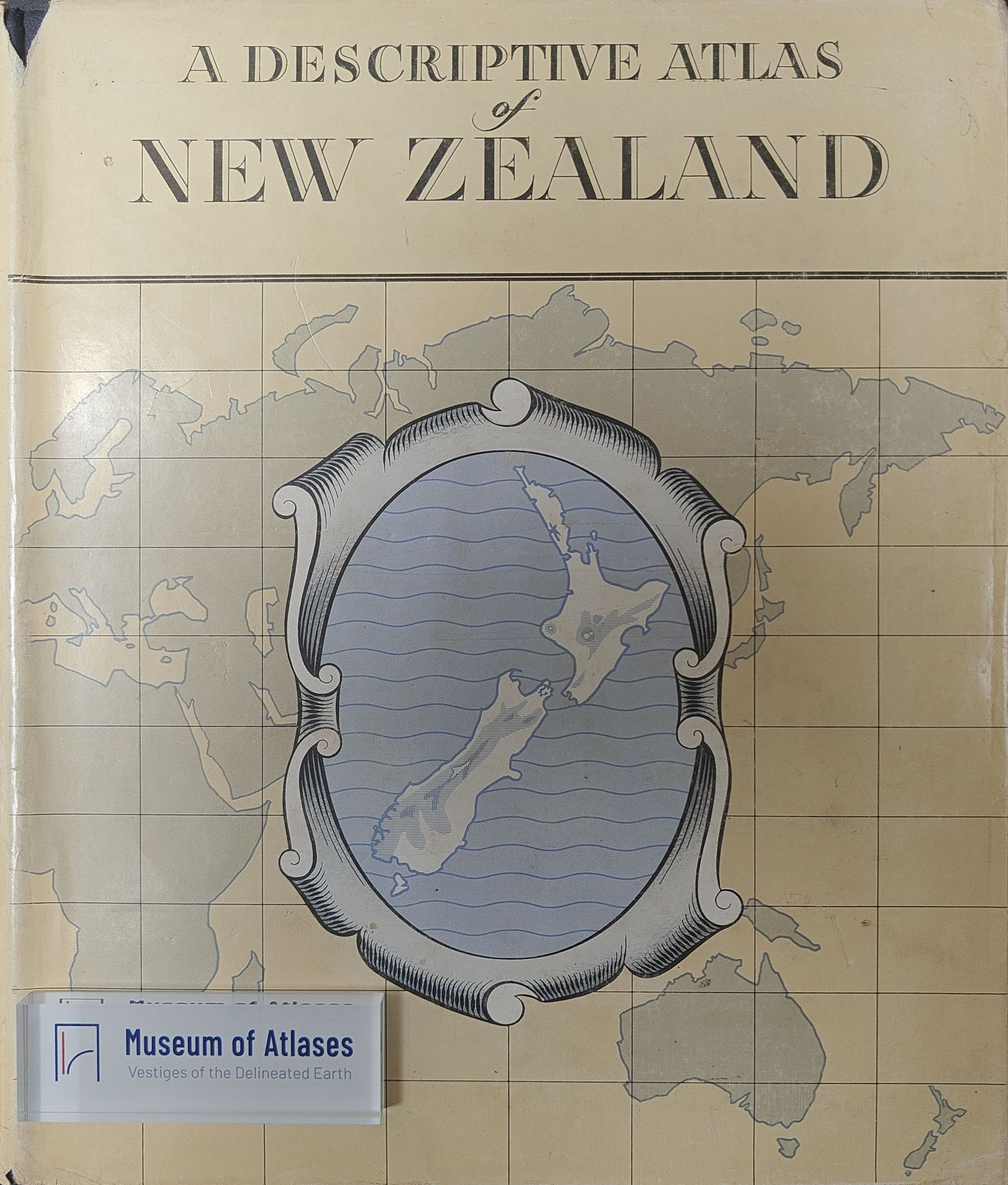
The New Zealand Atlas, initiated in 1937 as part of the National Centennial publications, was interrupted by World War II and subsequently postponed due to post-war manpower shortages. In 1953, an Advisory Committee was established to reassess the project, leading to Cabinet approval in June 1954 of a revised plan: abandoning the original concept, depositing research materials at the Alexander Turnbull Library, and tasking the Lands and Survey Department with producing a reference atlas alongside occasional historical maps. Scheduled for publication by end of 1958, the atlas comprises 176 pages (10x12 inches each), including letterpress descriptions, colour maps, a gazetteer of approximately 10,000 place names, and oblique aerial photographs. Designed as a concise reference for schools, libraries, commercial offices, and government agencies, its map section, compiled by three full-time draughtsmen since 1954, aims to match international standards through close collaboration with the Government Printer.
Related Atlases
Comments
Loading...
0/2000