
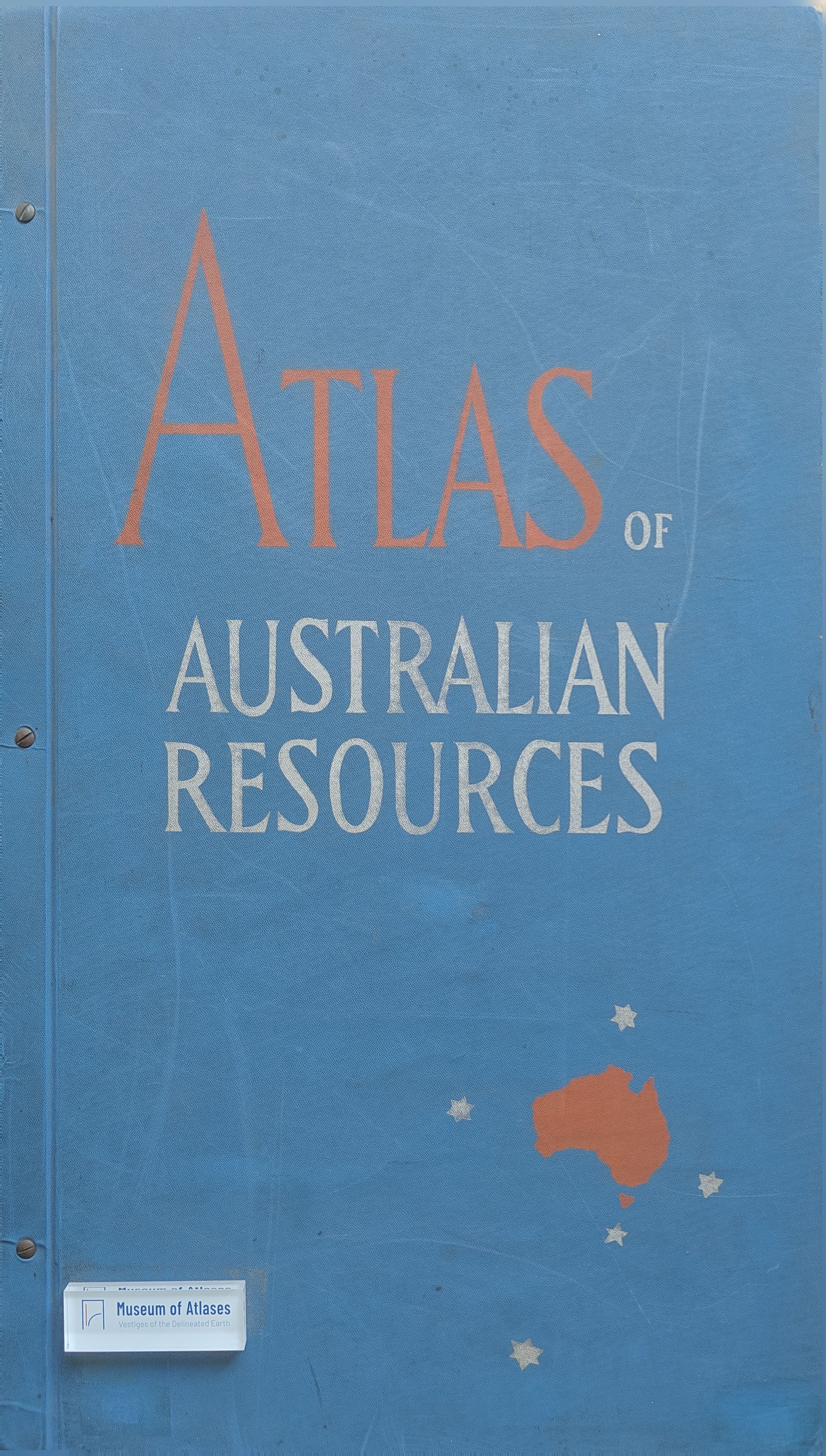
Still more maps: Atlas of Australian Resources
- Publication
- Walkabout
- Volume
- 23
- Issue
- 4
- Pages
- 48
Australia · Version 1
1960–1990View whole-article summary
This review examines five new maps in the Atlas of Australian Resources, covering water conservation, drainage systems, vegetation, stock distribution, and power and fuel. By assessing their symbols, colour arrangements, and supplementary data, it highlights the sophistication and informational richness of modern cartographic practice. The drainage map is particularly praised for presenting river basins, water bodies, gauging stations, and discharge records with exceptional clarity. However, the stock-distribution map demonstrates the limits of dense visual encoding: concentrations of livestock in south-eastern Australia partially obscure place markers and commercial centres. The accompanying commentaries, written by senior specialists from government and scientific agencies, are informative, accessible, and effectively complement the maps. Overall, the series reflects substantial research and planning and offers considerable educational value for university students, senior school pupils, and general readers.
Related Atlases
Comments
Loading...
0/2000