
Socio-economic maps of comprehensive regional atlases
Социально-экономические карты комплексных региональных атласов
- Publication
- Вестник Московского университета. Серия 5. География
- Issue
- 6
- Pages
- 3–16
Azerbaijan · Version 1
1963View whole-article summary
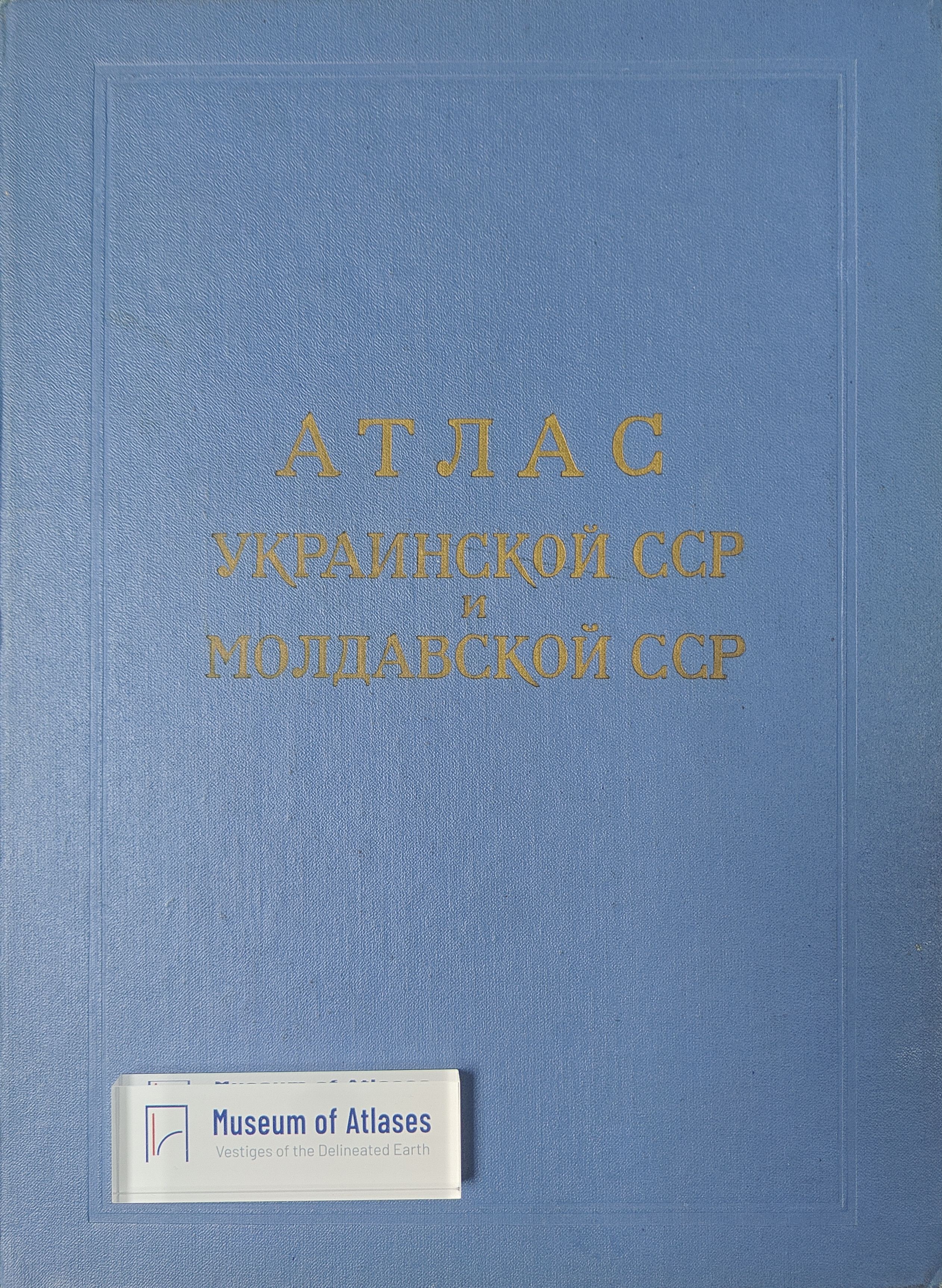
This article critically examines socioeconomic maps in the comprehensive regional atlases produced in the Soviet Union during the Seven-Year Plan of 1959–1965 and identifies priorities for the further development of socioeconomic cartography. It first reviews the two major waves of Soviet regional-atlas production, in the early 1930s and in 1959–1965, arguing that atlas compilation both drew upon advances in geography and stimulated integrated geographical research. Comparing eleven major atlases of union and autonomous republics, territories, and provinces—including Belarus, Armenia, Ukraine and Moldavia, Irkutsk, Azerbaijan, Georgia, Komi, and Vologda—the author finds that socioeconomic maps generally constitute 58–62 percent of all maps. Their subjects include population, industry, agriculture, transportation, culture, and public services. This relatively stable share is presented as a practical optimum that preserves the balance between natural and socioeconomic content, although the proportion may eventually approach two thirds as the range of socioeconomic themes expands. An excessively high share can undermine an atlas’s comprehensive character and turn it into a statistical-economic publication, whereas an insufficient share reduces its usefulness for planning and administration. The article also evaluates the balance among different categories of socioeconomic maps, their representational types, and disparities in quality among atlases. It criticizes publications that overemphasize natural conditions, statistical cartograms, or isolated economic sectors without adequately revealing regional interrelations, developmental processes, and integrated territorial structures. Socioeconomic maps should support decisions concerning industrial location, agricultural specialization, transportation development, and the organization of education, health care, trade, communications, and other service networks; they should also contribute to economic-geographical and sociological research. The author argues that economic cartography has lagged behind the rapid theoretical and methodological progress of economic geography and outlines five major directions for improvement. First, atlases should include more natural-economic and evaluative maps that measure the costs, benefits, and expected returns of resource development. Second, field research should underpin the mapping of territorial-production complexes at different scales, including economic regions, industrial nodes, and agricultural complexes. Third, cartography should represent spatial systems of cities, nodes, and regions, together with quantitative patterns of territorial division of labor. Fourth, it should adopt mathematical modeling, map-based correlation, quantitative measurement, and economic isolines to depict the ‘economic relief’ of regions. Fifth, reflecting the growing human orientation of economic geography, atlases should map social processes, population phenomena, and historical-economic development more fully. The article concludes that the field must evolve from narrowly defined economic cartography into socioeconomic cartography. It therefore calls for an All-Union conference bringing together economic geographers, cartographers, economists, planners, sociologists, ethnographers, and historians to evaluate existing work, improve methods, and make regional atlases more effective instruments of research and national economic planning.
Related Atlases

Comments
Loading...
0/2000