
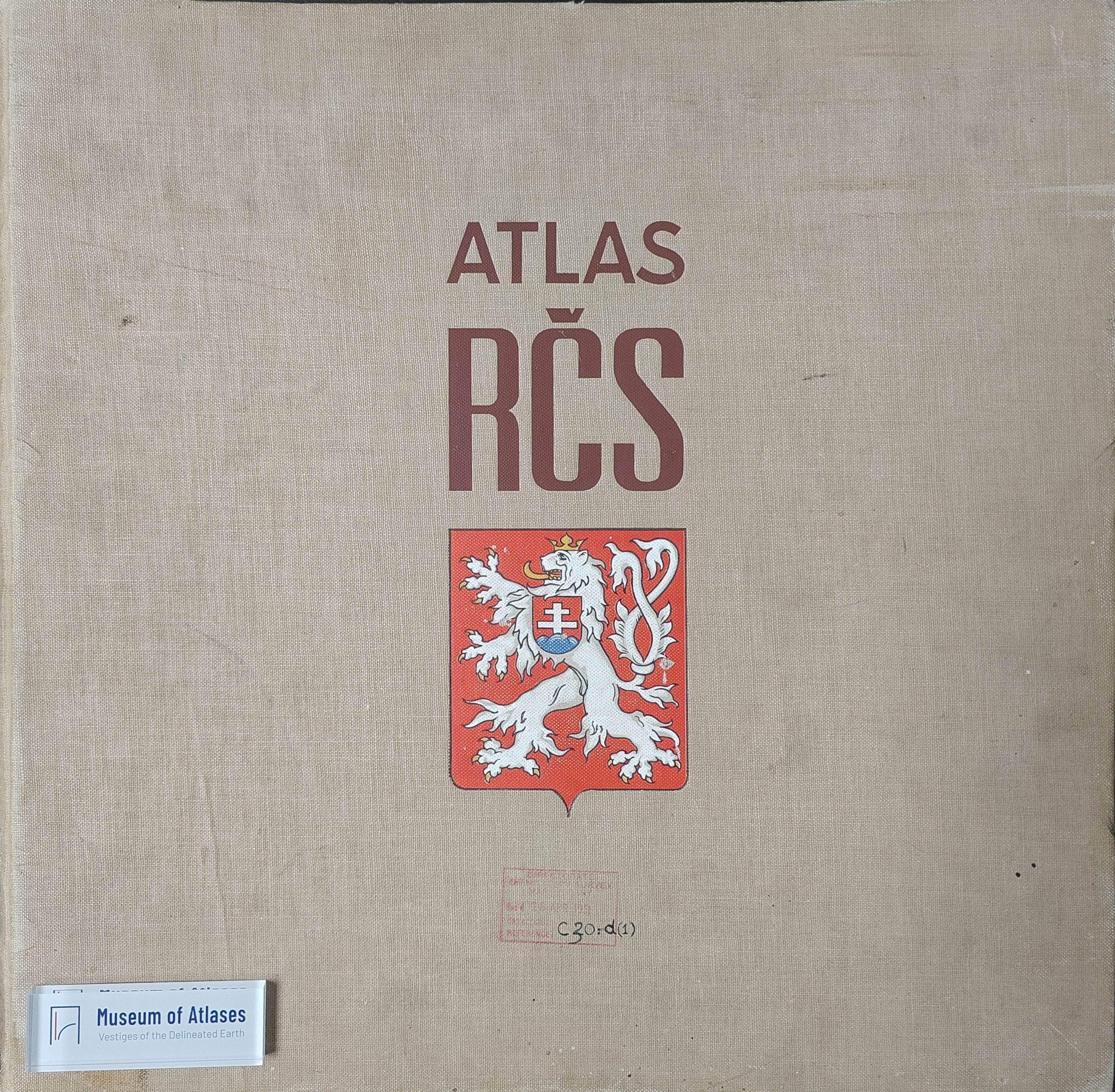
Reviews: Atlas Republiky Československé
- Publication
- Geography
- Volume
- 23
- Issue
- 2
- Pages
- 137
Czechoslovak · Version 1
1935–1966View whole-article summary
The Atlas of the Czechoslovak Republic, published by the Bohemian Academy of Sciences and Arts, is an ambitious work by a group of distinguished Czechoslovak scientists, aiming to present a comprehensive view of the country's "intellectual, cultural, and economic maturity." Containing some four to five hundred maps, it ranges from physical backgrounds to delineations of feeding, education, social welfare, diseases, and causes of death, with additional historical, hydrographic, soil, snowfall, and geobotanical maps. The main maps, on a scale of 1:1,250,000, are admirably produced, and the accompanying English text enhances its value as a general reference for those interested in the development and organisation of this complex and critically situated state, making it especially valuable for research students.
Related Atlases
Comments
Loading...
0/2000