
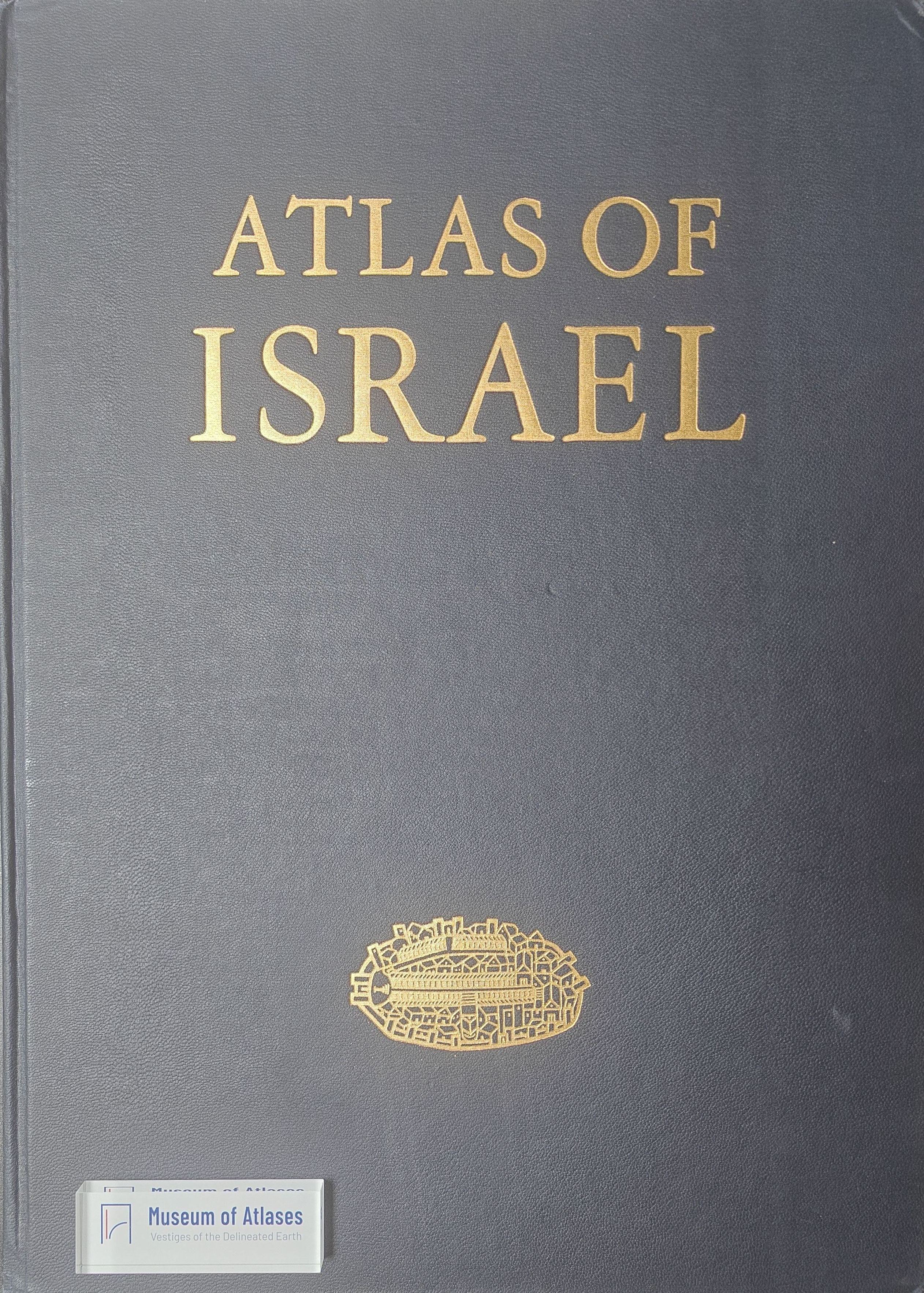
Reviews: Atlas of Israel: Cartography, Physical Geography, Human and Economic Geography, History
- Publication
- International Affairs
- Volume
- 47
- Issue
- 1
- Pages
- 188–189
Israel · Version 1
1956–2011View whole-article summary
This review evaluates the 1970 English edition of the Atlas of Israel, focusing on its scope, cartographic methods, and historical-political framing. Using multicolored maps, charts, photographs, and sequential representations of change, the atlas comprehensively documents Israel’s physical geography, population, settlement, economy, culture, and military history. It is particularly effective in depicting topographic and climatic diversity and transformations in land use, and is praised for its rich information and outstanding production. However, significant omissions include the British Mandate period, the boundaries of the mandated territory, and Israel’s pre-1967 border with Syria. Some maps of cultural facilities and tourism also appear of limited scholarly value. The review concludes that, despite being an exceptional reference work, the atlas reveals editorial bias in its historical selections and territorial representations.
Related Atlases
Comments
Loading...
0/2000