
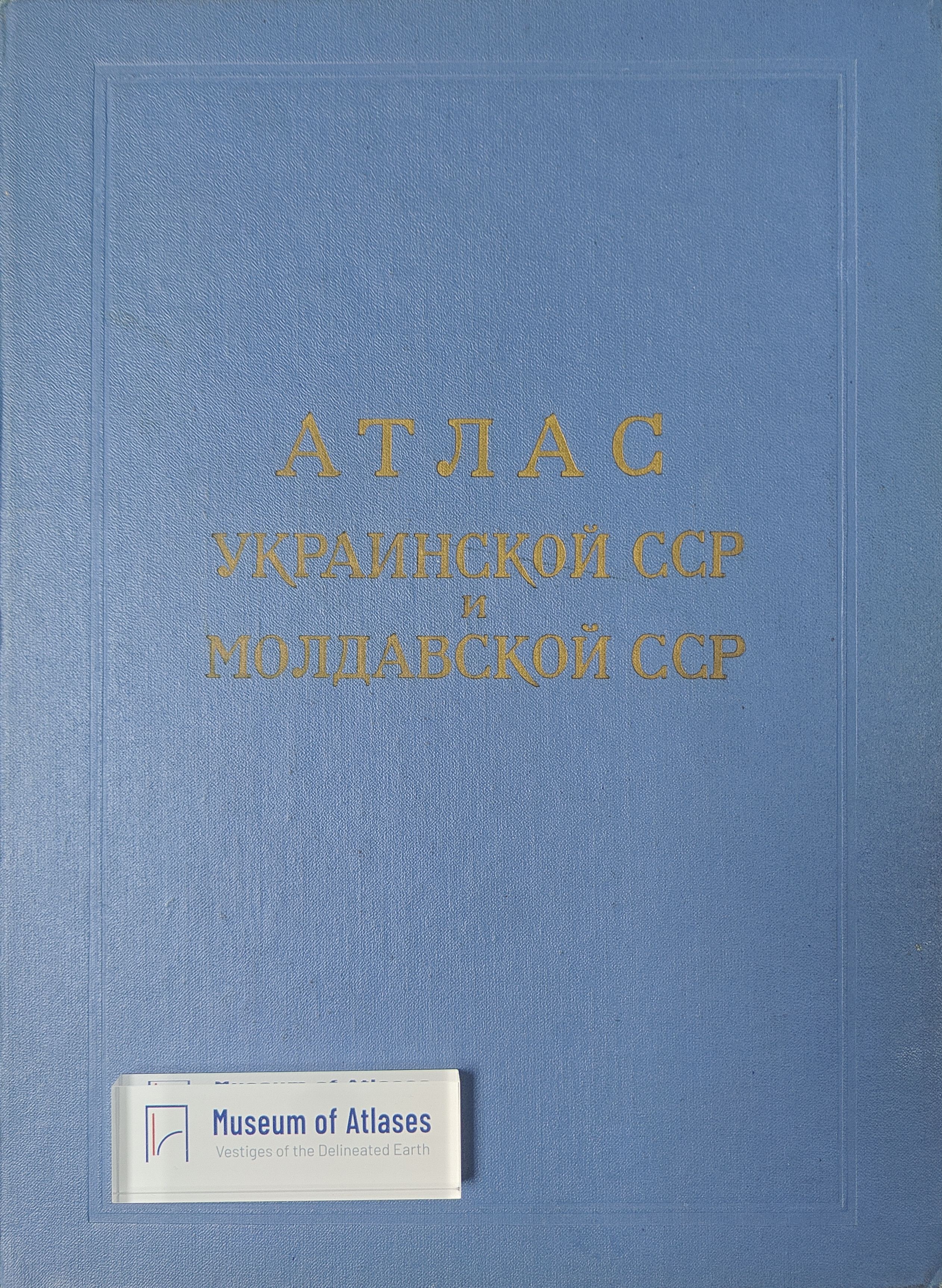
Atlas of the Ukrainian SSR and Moldavian SSR
Атлас Украинской ССР и Молдавской ССР
- Publication
- Известия Академии наук СССР. Серия географическая
- Issue
- 1
- Pages
- 141–145
Moldova · Version 1
1962–1990View whole-article summary
This article critically reviews the 1962 Atlas of the Ukrainian SSR and Moldavian SSR, a collective cartographic work synthesizing natural, demographic, cultural, and economic data available as of 1 January 1959. The atlas comprises 108 usable pages and four sections—introduction, nature, population and culture, and economy—with particularly extensive coverage of climate and agriculture. Through comparative analysis of thematic scope, scale, generalization, legends, visual design, and consistency across maps, the reviewer evaluates both its scientific-reference function and practical utility. The atlas is praised for systematically assembling a large body of information, clearly depicting relief, and offering several strong maps, including those of the Ukrainian Carpathians, tectonics, Quaternary deposits, soil erosion, agricultural specialization, state farms, and interconnected branches of heavy industry. Its coordinated scales also facilitate comparison between certain agricultural and environmental maps. Nevertheless, the review identifies substantial thematic and methodological weaknesses. Hydrology, population composition, general education, transport operations, economic linkages, collective farms, agricultural mechanization, and industrial prospects receive insufficient attention, while historical and tourist maps are absent. Climate maps omit mountain conditions and temporal variability; many agricultural cartograms provide only relative district-level indicators and sometimes rely on incomplete categories of farms. The most serious problem is weak coordination among related natural maps, especially contradictions between geomorphological and Quaternary-deposit maps and poor comparability among soil, vegetation, and forest maps. Additional deficiencies include redundant content, unclear or excessively detailed legends, inappropriate symbolization of relative indicators, inefficient scales and page space, limited use of explanatory texts and supplementary graphics, and inconsistent or unconventional color schemes. The article concludes that the atlas remains a valuable compendium with broad scientific and practical applications, but contributes relatively few innovations compared with earlier Soviet republican atlases and repeats many of their shortcomings. To improve future comprehensive atlases, it recommends stronger editorial integration, methodological coordination, interinstitutional exchange, fuller use of explanatory materials, and the prompt establishment of an interdepartmental editorial council for regional atlas production across the Soviet Union.
Related Atlases
Comments
Loading...
0/2000