
← BackJournal Article
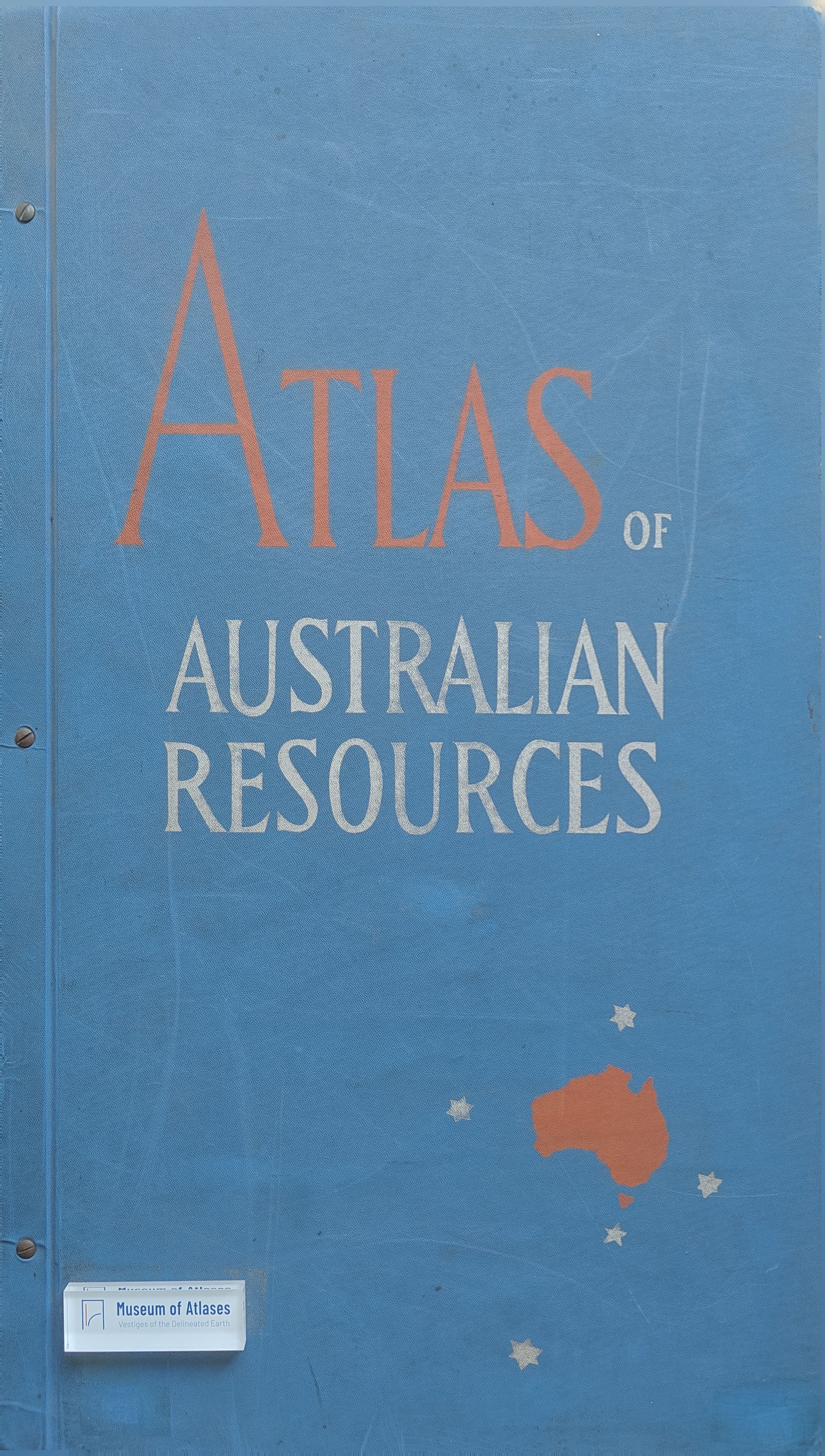
Review: Atlas of Australian Resources
By R.O.C.
- Publication
- Australian Museum Magazine
- Volume
- 13
- Issue
- 8
- Pages
- 265
Australia · Version 1
1960–1990← Back to Australia
View whole-article summary
This review examines the final two maps in the Atlas of Australian Resources: the Mineral Industry Map and the Geological Map. The Mineral Industry Map uses symbols to detail significant mineral production and processing sites across Australia up to 1956, including each center's percentage of national output and transport flows. The Geological Map (compiled 1958), printed in bright colors at a scale of 94.7 miles per inch, does not subdivide certain geological periods but notably fills gaps in remote northern regions. Each map includes a separate commentary booklet essential for proper interpretation.
Related Atlases
Comments
Loading...
0/2000