
Register of thematic maps: Atlas of Colombia
Registro de mapas temáticos: Atlas de Colômbia
- Publication
- Revista Geográfica
- Issue
- 68
- Pages
- 191-192
Colombia
1967–1969View whole-article summary
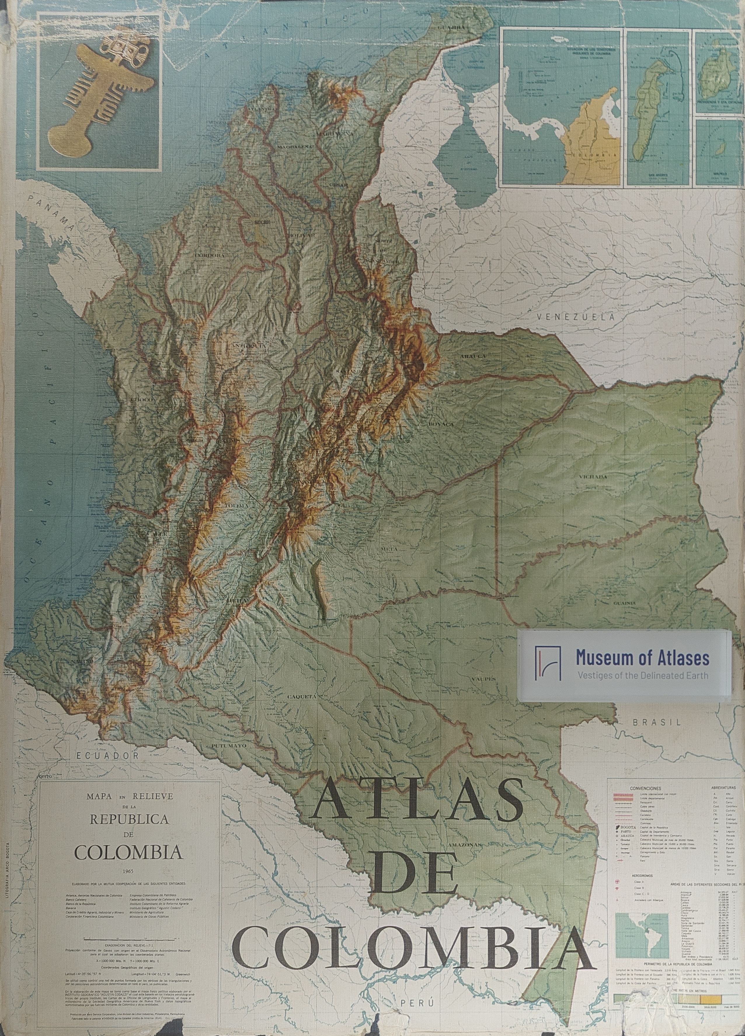
This article reviews the Atlas of Colombia, published in October 1967 by the Agustín Codazzi Geographic Institute. The atlas, comprising approximately 203 pages with about 150 maps, plans, and numerous photographs and drawings, systematically compiles the country's existing cartographic documentation. Its content covers physical geography (geology, relief, climate, soils, ecology), human and economic geography, historical cartography, and administrative divisions, accompanied by a geographic overview and bibliography. Despite notable heterogeneity in cartographic quality, informational content, and symbol usage, the atlas represents a transition between traditional descriptive atlases and modern dynamic interpretive ones, reflecting the progress of geographic knowledge in Colombia.
Related Atlases
Comments
Loading...
0/2000