
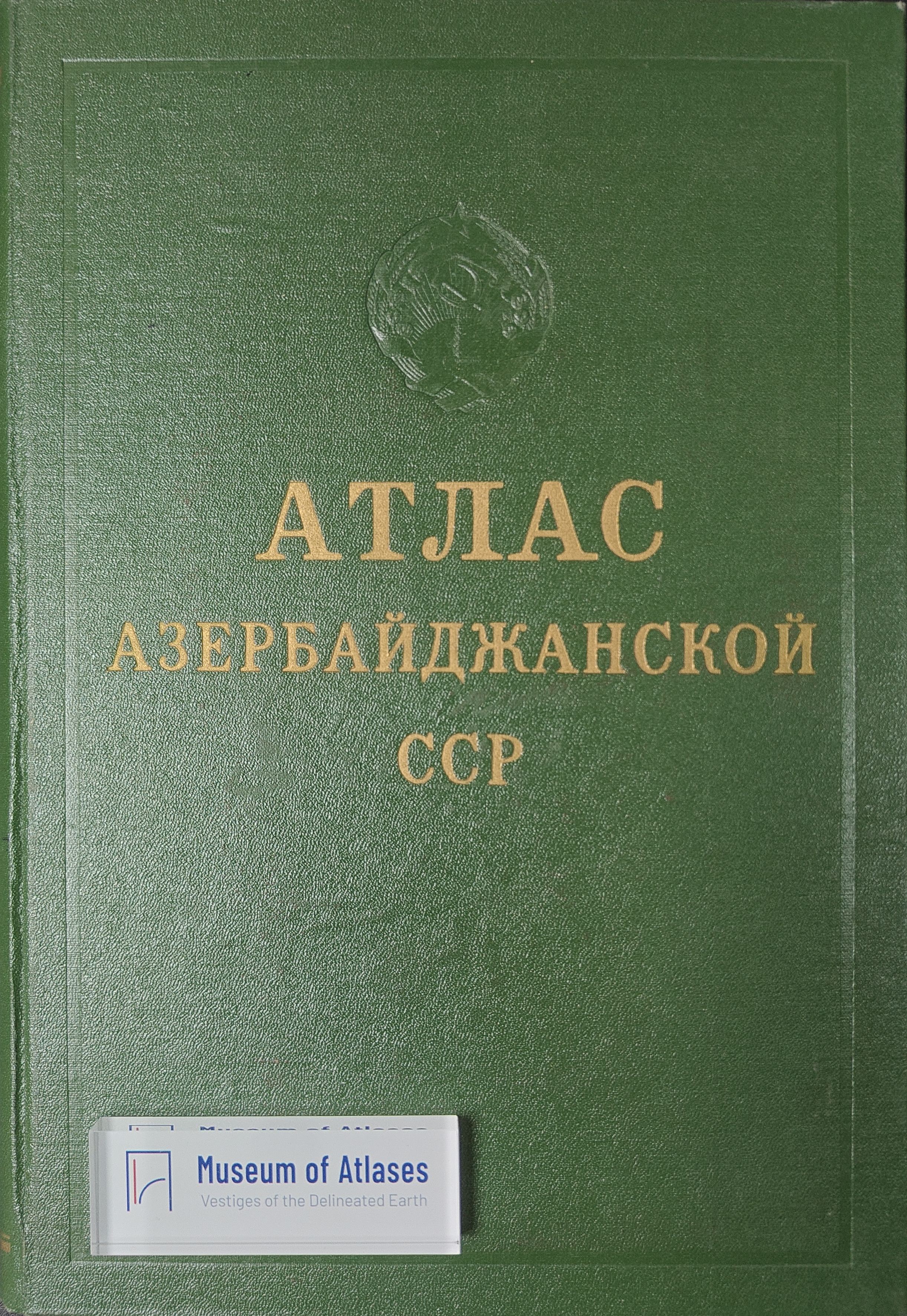
Reviews: Atlas of the Azerbaijan SSR
Recenzje: Atlas Azerbajdžanskoj SSR
- Publication
- Czasopismo Geograficzne
- Volume
- 37
- Issue
- 1
- Pages
- 84-86
Azerbaijan · Version 1
1963View whole-article summary
This review evaluates the 1963 Atlas of the Azerbaijan SSR, a major Soviet regional atlas prepared under the auspices of the Institute of Geography of the Azerbaijan Academy of Sciences. Comprising 132 maps and 29 schematic maps and cartograms on 213 plates, the atlas is organized into sections on administration and population, natural conditions, economy, social and cultural services, and history. Particular strengths include its extensive treatment of climate, hydrography, denudation, and the Caspian Sea, as well as its quantitative representation of oil and gas resources, ports, agriculture, irrigation, and regional economic structures. Notable findings documented in the atlas include the Caspian Sea’s 270 cm decline in level between 1900 and 1960, Baku’s dominant role in Caspian freight handling, the irrigation of 77% of arable land, and the overwhelming economic concentration in the Absheron region. The reviewer praises the atlas for combining rich, measurable information with cartographic clarity and for using original thematic maps to reveal Azerbaijan’s distinctive geographical features. Its principal weakness is the inadequate coverage of population issues, alongside several methodological omissions, such as the absence of a crop-yield map. Overall, the atlas is judged an authoritative, visually accomplished work capable of serving as a comprehensive textbook of Azerbaijan’s regional geography.
Comments
Loading...
0/2000