
Present state of the national atlas of Spain. Future projects
- Publication
- Proceedings of the 16th International Cartographic Conference
- Volume
- 2
- Pages
- 807-821
Spain · Version 1
1961–2025View whole-article summary
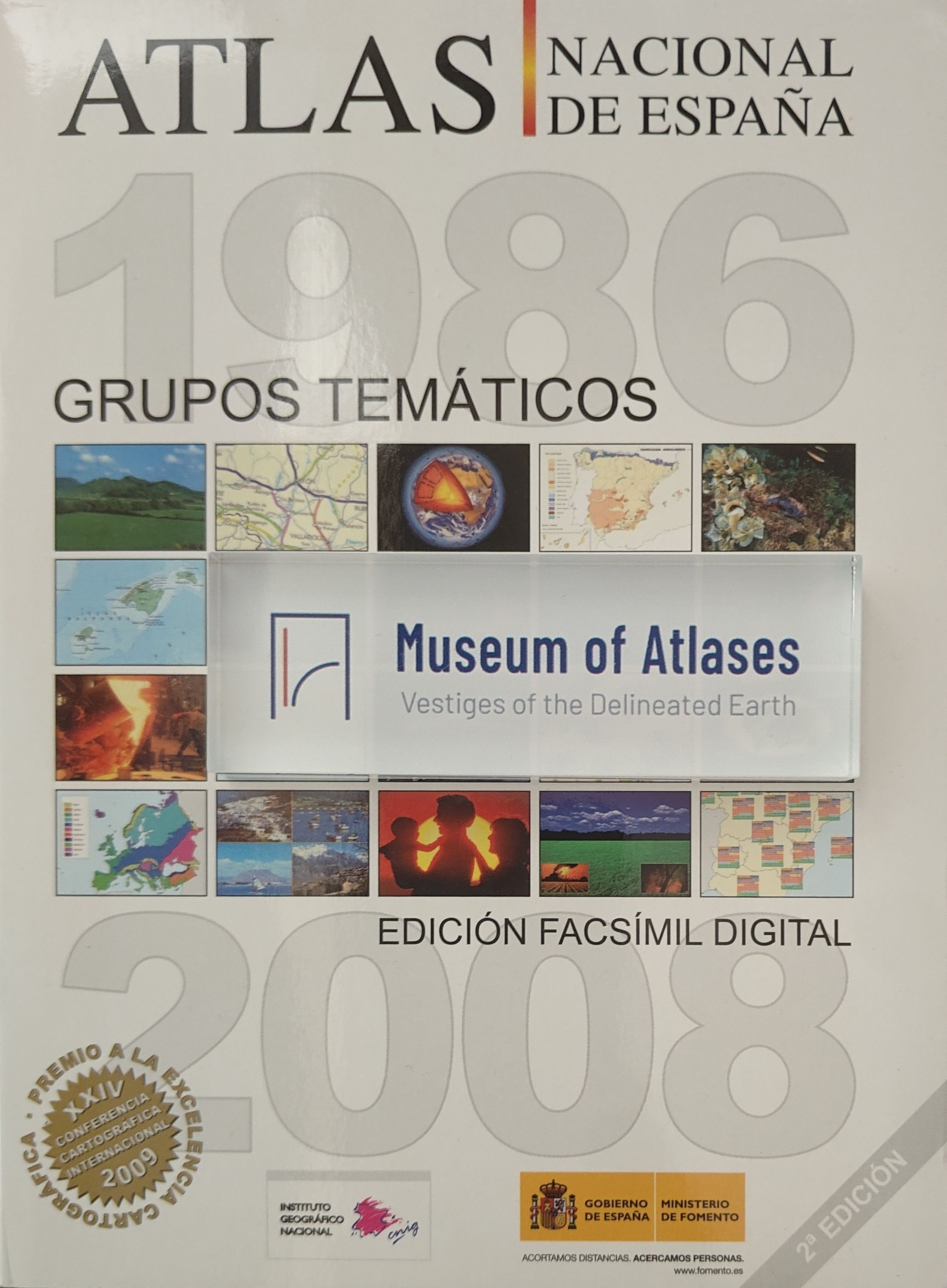
This paper reviews the development and current status of the National Atlas of Spain project since its inception in 1986. Managed by the National Geographical Institute, the project was initially planned to comprise 48 thematic sections across 640 pages, published in loose-leaf booklets. By January 1993, 18 booklets totaling 644 pages had been published, covering 22 themes—achieving 100% of the original page target but only about 50% of the planned themes. The final atlas is expected to reach 1,400–1,500 pages. The paper details the contents, cartographic methods, map counts, and supplementary materials of each published booklet, spanning geology, relief, soils, geophysics, climatology, hydrology, biogeography, demography, agriculture, energy, industry, finance, and environmental issues. The project integrates traditional cartographic techniques with new technologies such as satellite imagery and digital elevation models, while emphasizing historical map reproduction and data visualization. Future work includes completing remaining themes and exploring digital publication formats such as CD-ROM.
Comments
Loading...
0/2000