
Plan for National Atlas of the United States
- Publication
- Bulletin of the Special Libraries Association Geography and Map Division
- Issue
- 29
- Pages
- 19
United States · Version 2
1970–2013View whole-article summary
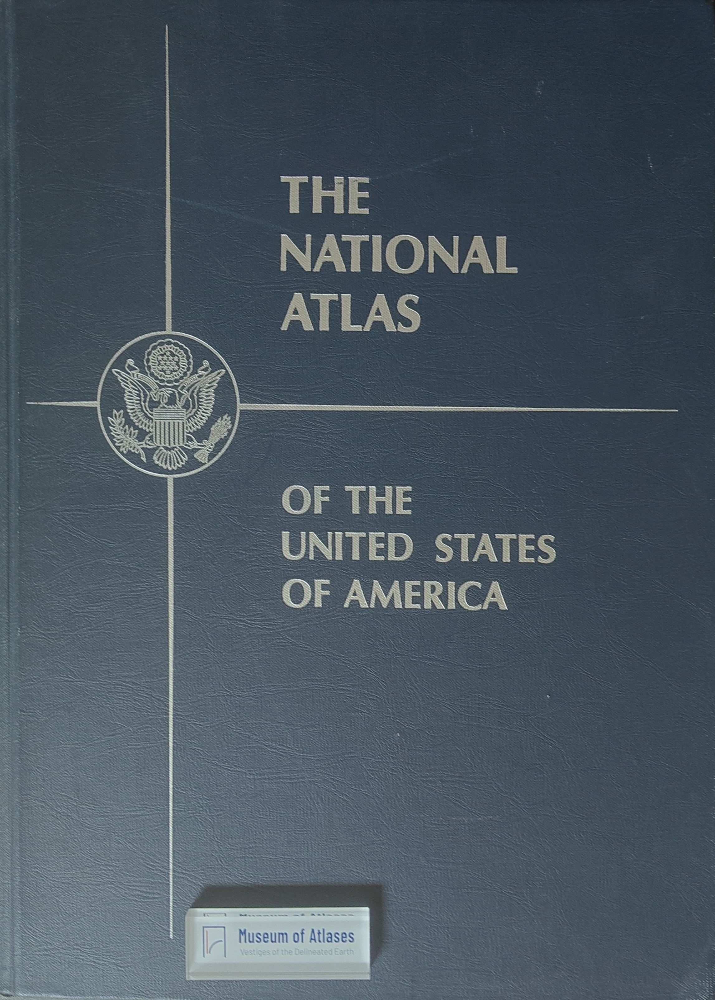
This article outlines the plan and early implementation of a National Atlas of the United States. In 1955, a National Research Council committee recommended that federal agencies standardize sheet dimensions and related cartographic features, enabling maps on resources, population, climate, agriculture, geology, transportation, and survey coverage to be assembled in a loose-leaf atlas. The Weather Bureau, Geological Survey, Bureau of the Census, Soil Conservation Service, and agricultural agencies subsequently issued standardized thematic sheets. The Map Information Office was designated the central depository and tasked with maintaining updated listings of map titles, scales, and sources. Through interagency coordination and common production standards, the initiative sought to create an expandable national spatial-information resource supporting research, planning, and public administration.
Related Atlases
Comments
Loading...
0/2000