
National atlas project
- Publication
- The Professional Geographer
- Volume
- 14
- Issue
- 3
- Pages
- 32
United States · Version 2
1970–2013View whole-article summary
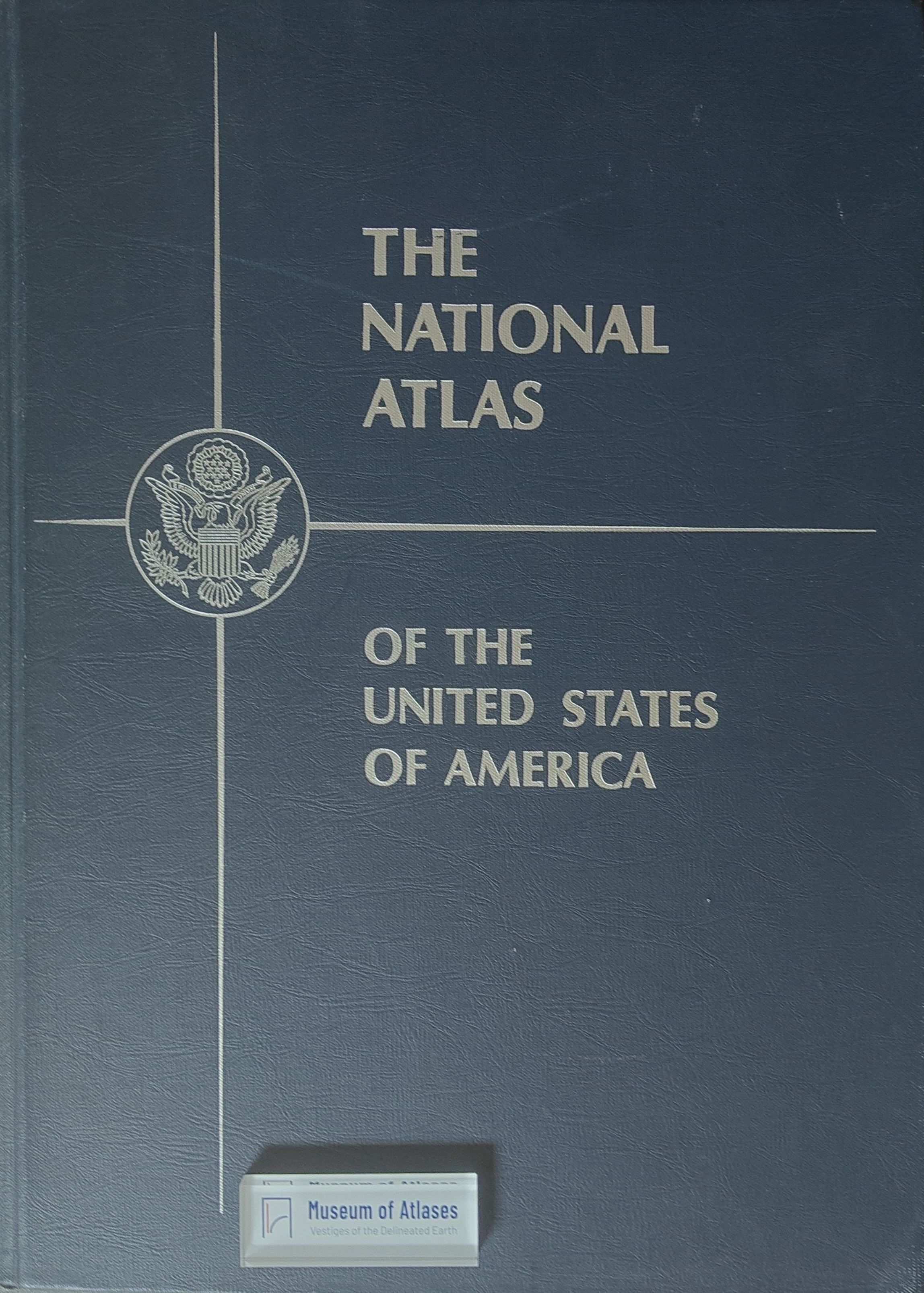
This article reports on the initiation of the National Atlas Project of the United States. After more than a decade of deliberation, the U.S. decided to produce a national atlas to serve the research and reference needs of government agencies, businesses, and educational institutions, with a federal mapping agency (preferably the Geological Survey) undertaking the task. Arch C. Gerlach, Chief of the Map Division at the Library of Congress, was detailed to the Geological Survey for approximately two years to serve as Chief of the project. The article also briefly covers the 1962 annual meeting of the National Council for Geographic Education, the Alliance Française scholarships (available to American students aged 20-30 for studying French geography, with an annual stipend of $1,100), and the first Journées Géographiques held in Paris in February 1962, which aimed to unite French geographers and prepare for their participation in the International Geographical Union congress.
Related Atlases
Comments
Loading...
0/2000