
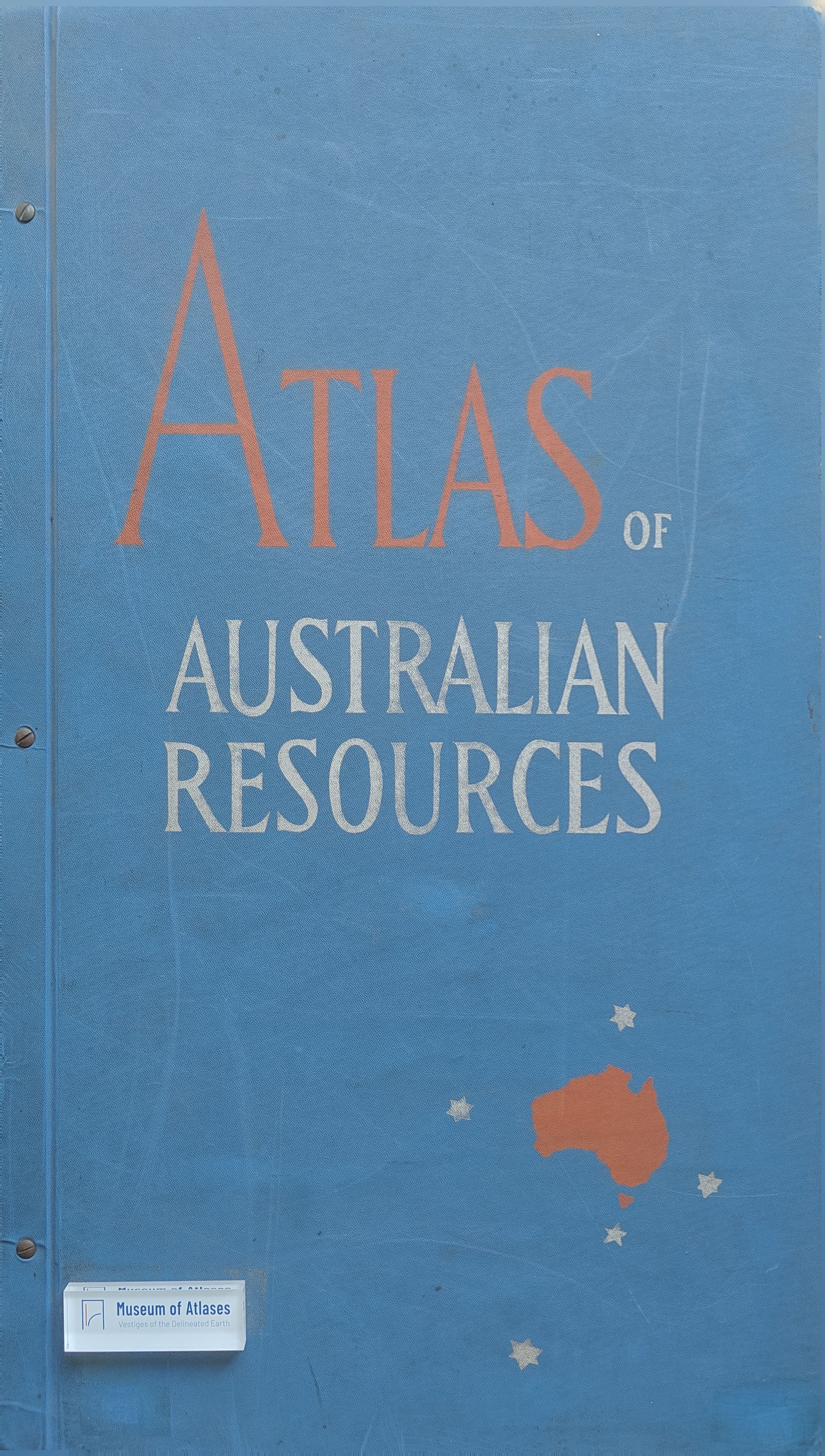
Maps of moment: Atlas of Australian Resources
- Publication
- Walkabout
- Volume
- 19
- Issue
- 11
- Pages
- 45
Australia · Version 1
1960–1990View whole-article summary
This review examines the first five maps in the Atlas of Australian Resources, prepared by the Department of National Development and edited by Konrad Frenzel. Covering soils, rainfall, temperatures, underground water, and mineral deposits, the maps are supported by expert commentaries that clarify Australia’s environmental and economic geography. The evidence shows that high-quality agricultural and grazing land is limited, while rainfall, temperature, sunshine, and natural resources vary greatly across the continent, challenging optimistic development schemes for inland and northern Australia. The reviewer praises the atlas for its authority, visual clarity, and educational usefulness to schools, universities, and the public. However, the mineral-deposits map is criticized for compressing seventy-one minerals and several deposit sizes into an excessively complex symbolic system, making it less readable than the other maps.
Related Atlases
Comments
Loading...
0/2000