
Mapping a continent
- Publication
- The Bulletin
- Volume
- 77
- Issue
- 4002
- Pages
- 4
Australia · Version 1
1960–1990View whole-article summary
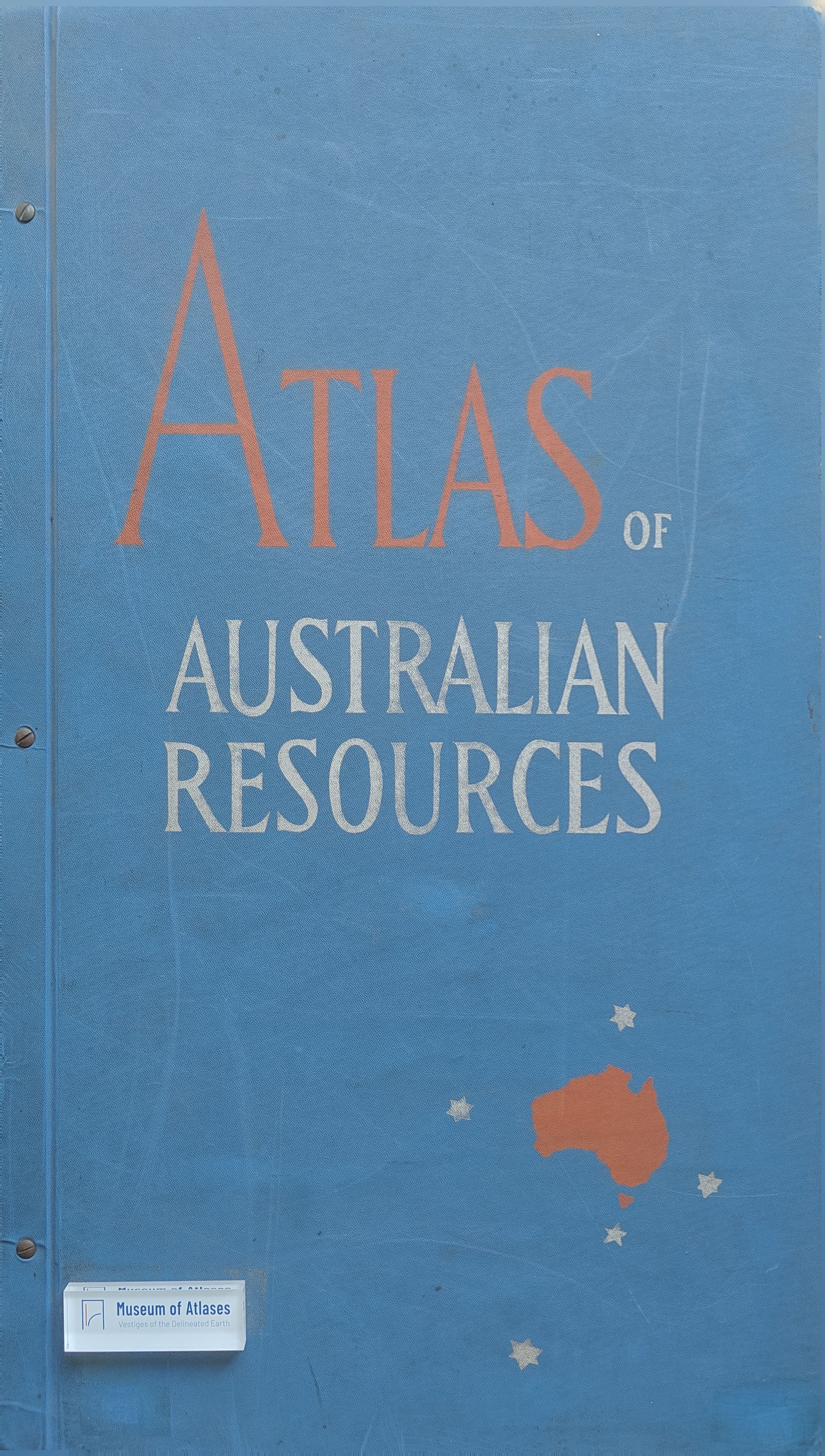
This article traces the evolution of Australian cartography from imaginative early representations to modern thematic mapping. Once navigators and explorers had established the continent’s coastline and interior, cartographers shifted from depicting physical geography to visualizing its effects on society. The article focuses on the Atlas of Australian Resources, a major project initiated by the Department of National Development and supervised by Konrad Frenzel. Drawing on data from scientists, government agencies, universities, aerial photography, and field expertise, the atlas uses multicolour maps and commentaries to represent relief, vegetation, agriculture, livestock, climate, drainage, minerals, and demographic change. Each map communicates complex spatial patterns pictorially, including rural population decline and metropolitan growth. The atlas demonstrates that modern maps are analytical tools integrating natural, economic, and social knowledge, while also achieving clarity and aesthetic distinction.
Related Atlases
Comments
Loading...
0/2000