
Strategy for creating the national atlas of Lithuania
Lietuvos nacionalinio atlaso kūrimo strategija
- Publication
- Geodezija ir kartografija
- Volume
- 28
- Issue
- 3
- Pages
- IIa–IId
Lithuania · Version 1
1981–2017View whole-article summary
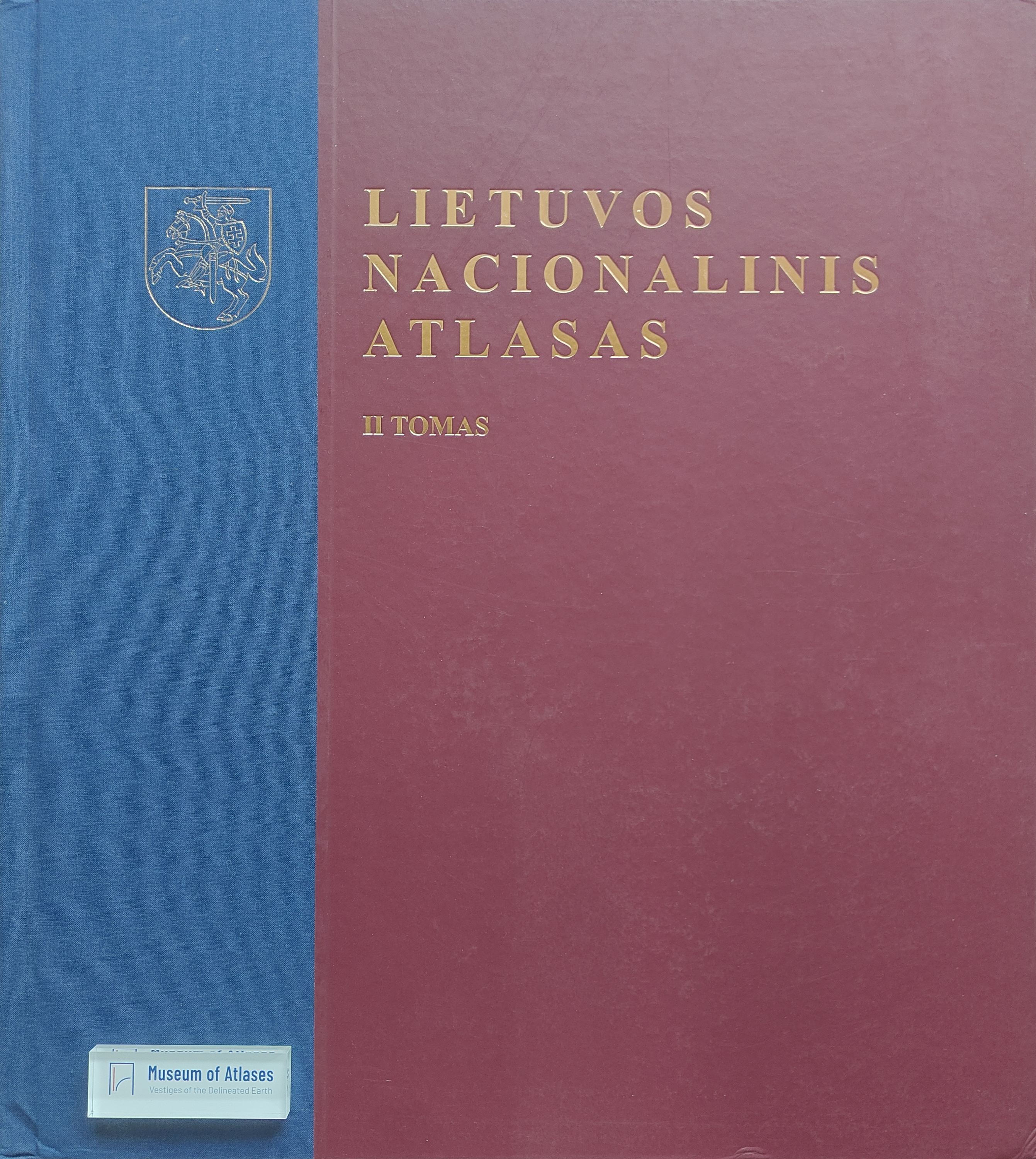
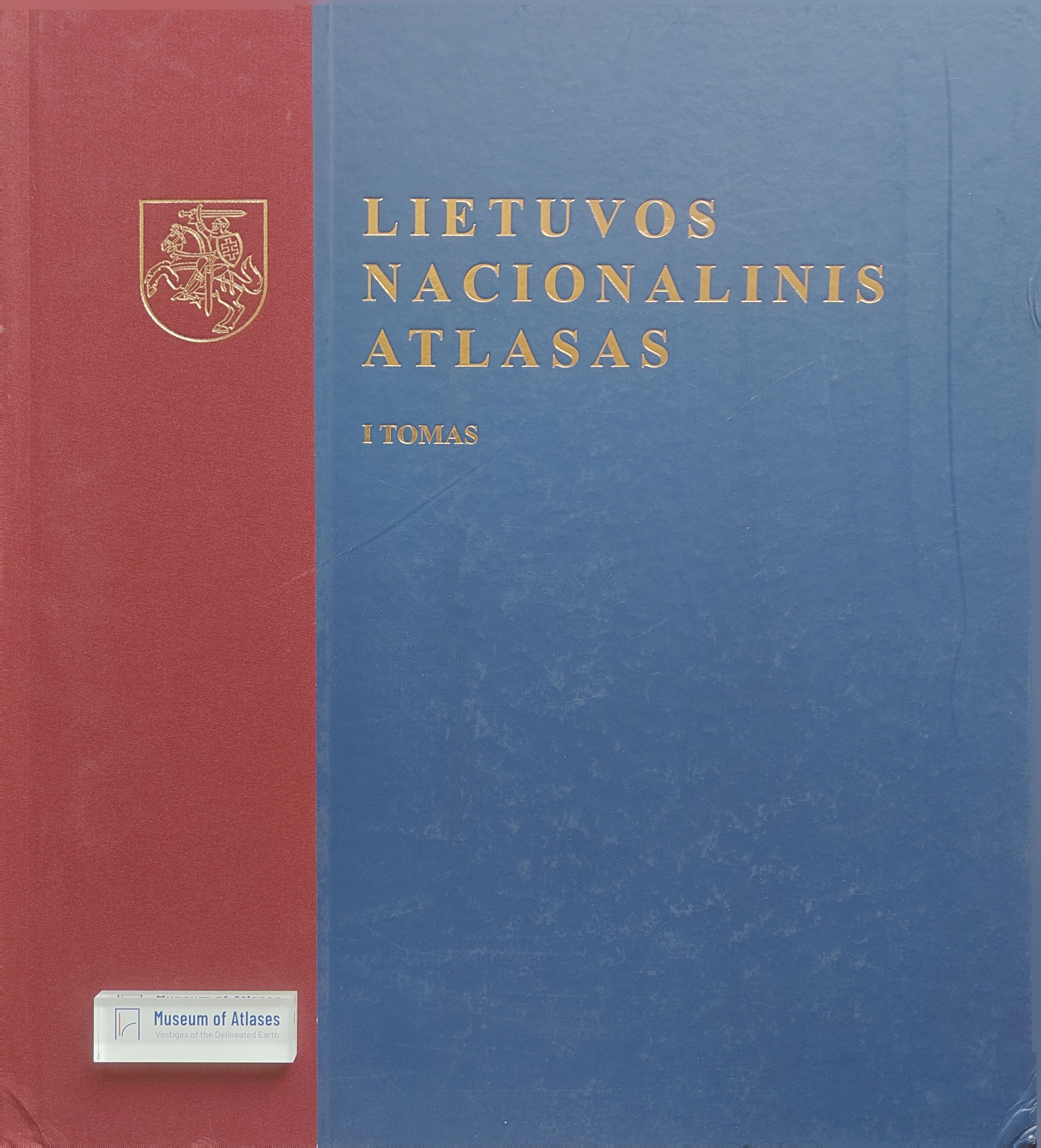
The article describes the structure of the forthcoming National Atlas of Lithuania, the main principles of its creation, and innovations. Criteria have been defined for conceptual, prestigious cartographic publications, which contemporary cartographers also follow. According to these criteria, a national atlas must be: a cartographic representation of a single state with defined borders; a collection of thematic maps compiled on the basis of various scientific data, indicating the country's natural, cultural-historical, demographic, and other indicators, prepared and published with the approval of state scientific organizations and with government support. The development of digital technologies has a significant impact on thematic cartography. However, technical progress alone cannot solve the complex problems of compiling cartographic works such as the currently prepared National Atlas of Lithuania. To avoid confusion due to the diversity of technology applications, it is necessary to create integrated information systems, specialized for publishing cartographic works and based on a theoretical model. In such a model, the most important components are interrelated data (information), processes, and functional groups (activity participants). The boundaries of the information system are defined by the resources used and the adopted paradigm.
Related Atlases
Comments
Loading...
0/2000