
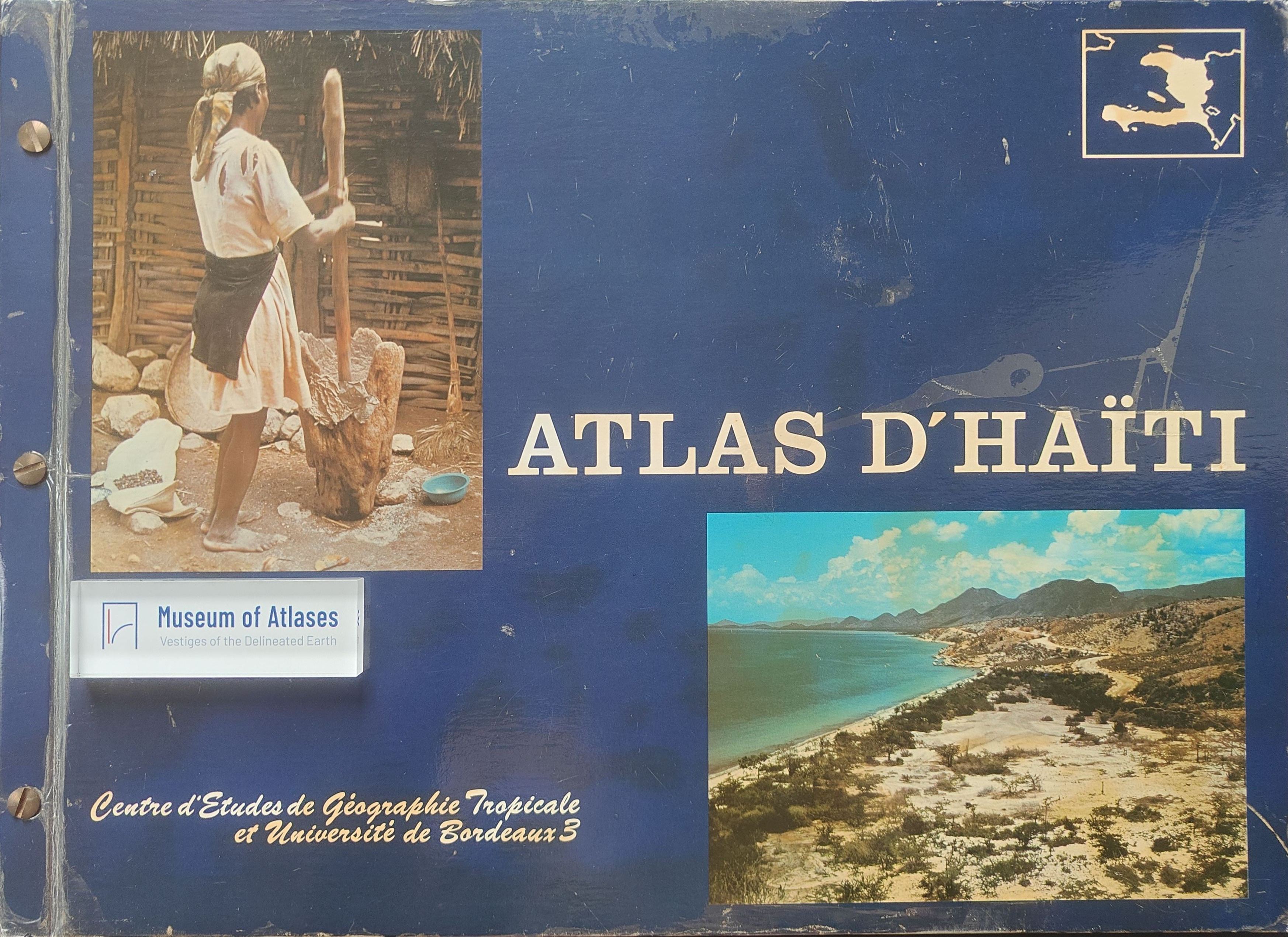
Atlas of Haiti: An image of the national reality
L'Atlas d'Haïti : une image de la réalité nationale
- Publication
- Bulletin du Comité Français de Cartographie
- Issue
- 106
- Pages
- 67–68
Haiti · Version 1
1985View whole-article summary
The Atlas d’Haïti presents the Republic of Haïti along different lines which, together, give a comprehensive image of this Caribbean country. This work, just out of press, has been realized at the Centre d’Études de Géographie Tropicale, a laboratory of the National Centre for Scientific Research (CNRS) in coordination with the Université de Bordeaux III. The various contributions by specialists have been edited by a geographer. The Atlas contains thirty (30) colour plates with many illustrations and an accompanying text for each map. The main objectives behind this work are the following: (i) to present a synthesis of data on a country nearly totally devoid of scientific documentation up to recently. It was thought that the best way to do this was to use the tool of the map. (ii) to encourage identification. (iii) a pedagogic objective which must particularly retain our attention in this colloquium. At this point the main problem in using the Atlas will be linked to the deplorable state of the Haitian school system, a reflection in itself of the great hardships of daily life in Haïti. (iv) at last, it is hoped that the Atlas will be useful for planners, administrations and politicians. But this is uncertain and one should be careful in assessing this feature.
Related Atlases
Comments
Loading...
0/2000