
National atlas of Hungary
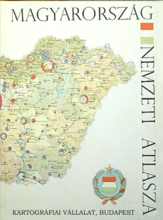
Magyarország Nemzeti Atlasza
- Publication
- Geodézia és Kartográfia
- Volume
- 19
- Issue
- 5
- Pages
- 364–367
Hungary · Version 1
1967View whole-article summary
This article examines the conception, organization, data foundations, editorial procedures, and production technology of the National Atlas of Hungary, published in 1967. It situates the project within the rapid postwar expansion of national atlases, attributing that development to the increasingly close relationship between cartography and the natural sciences, statistical analysis, economic administration, and regional planning. National atlases are presented not only as instruments for research and professional decision-making, but also as accessible vehicles for public education and international comparison, since cartographic representation can communicate spatial relationships across linguistic boundaries. Preparatory work in Hungary began in 1959 and gained momentum through state financial support and the 1962 Budapest meeting and exhibition organized in connection with the International Geographical Union’s Commission on National Atlases. The completed volume comprises 112 pages, including 100 map pages, eight pages of explanatory text, introductory materials, and a folded supplement. Its 279 maps are arranged in eight chapters covering two groups of natural conditions, population, agriculture, industry, transport and communications, trade, and social and cultural conditions. Additional maps depict protected areas and monuments, the combined structure of industry and agriculture, administrative divisions, and—on a 1:500,000 supplement—all Hungarian settlements. Economic themes account for 54 percent of the mapped content, natural conditions for 30 percent, population for 10 percent, and social and cultural conditions for 6 percent. Drawing on previously published atlases and international guidance, the editors followed the recommended minimum program for national atlases, prioritizing indispensable themes that reveal interactions among environmental, economic, and social factors. The restricted format consequently excluded supplementary subjects such as cartographic history, historical development, dialects, folk costume, and economic history. Although the editors sought temporal consistency, uneven source availability required the use of different reference periods: long-term averages for environmental phenomena, the 1960 census for detailed population data, 1960–1964 agricultural averages, and mainly 1963–1964 statistics for industry, transport, commerce, and social services. Compilation depended on extensive cooperation among scientific committees, the Hungarian Academy of Sciences, the Central Statistical Office, specialized research institutes, government bodies, and the Cartographic Enterprise. Data provision, map design, expert review, revision, and proof approval created a multilayered quality-control process. Technologically, standardized Astralon base plates supported repeated scales and color separations, while paper collage and enlarged drafting were used where necessary; these methods also revealed difficulties involving film adhesion, color planning, and cartographic generalization. The author concludes that, despite its modest size, inconsistent data dates, and several technical shortcomings, the atlas met international minimum standards, offered a systematic synthesis of Hungary’s natural, economic, and social geography, and generated valuable experience for future interdisciplinary atlas projects, especially in institutional coordination, data harmonization, generalization, and production workflow.
Comments
Loading...
0/2000