
Geography and cartography at the meeting of the Swiss Society of Natural Sciences in Solothurn
Geographie und Kartographie an der Tagung der Schweiz. Naturforschenden Gesellschaft in Solothurn
- Publication
- Geographica Helvetica
- Volume
- 21
- Issue
- 4
- Pages
- 196-200
Switzerland · Version 1
1997–2026View whole-article summary
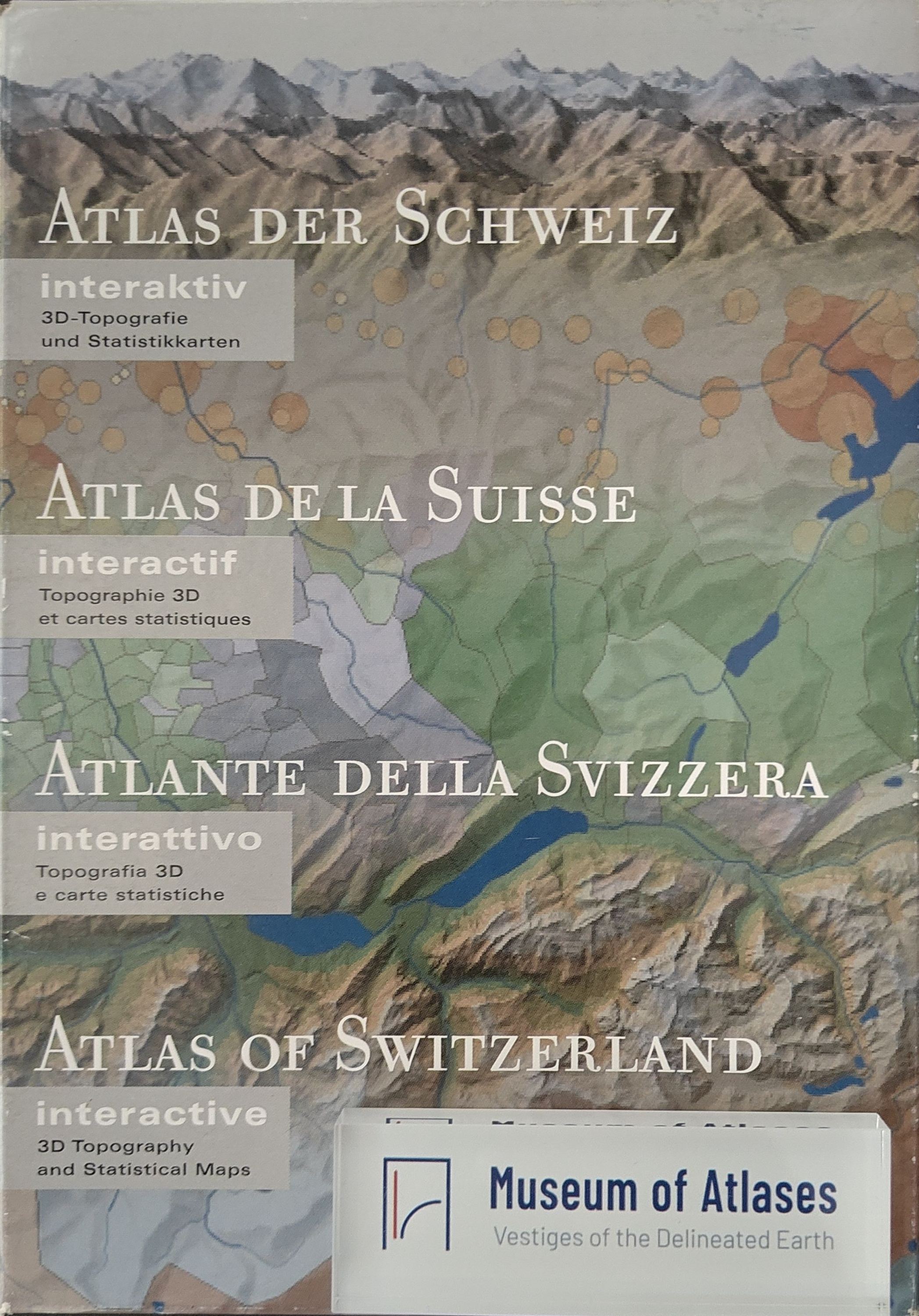
This report reviews the geographical and cartographic contributions presented at the 146th Annual Meeting of the Swiss Society of Natural Sciences, held in Solothurn from 30 September to 2 October 1966, with particular emphasis on the Atlas of Switzerland. Erich Bugmann’s opening lecture examined glacial-morphological problems in the western Swiss Plateau and offered new interpretations of how the Würm-age Rhône Glacier and marginal glacial waters shaped the relief between the lower Saane, Broye, Orbe, and Lake Geneva. The geography and cartography section then discussed the preparation, contents, representational methods, and scholarly value of the national atlas. Initiated by the Federal Council in 1960 and produced jointly by ETH Zurich and the Federal Office of Topography, the atlas had issued two installments by September 1966, comprising 89 maps. The second installment covered political divisions, vegetation, population, languages, religions, rural architecture, Basel, forests, hunting, fisheries, nature conservation, land improvement, and regional topography. Specialized presentations illustrated major methodological challenges. Climate mapping required ways to distinguish regional temperature patterns from altitudinal and local effects and to represent precipitation, sunshine, snow, weather types, and phenological boundaries. Maps of rural buildings avoided rigid typologies and sharp distributional boundaries, instead using representative structures and point symbols to convey mixed historical, social, economic, architectural, and functional characteristics. Tourism maps combined accommodation capacity, population ratios, seasonal functions, transport facilities, and previously neglected private lodging data, while later sheets were planned to visualize visitor frequencies and resort structures. The atlas’s educational use was constrained by limited teacher preparation, inadequate geography classrooms, and a format unsuitable for collective display; seminars, slide sets, and explanatory booklets were therefore recommended. Overall, the Atlas of Switzerland emerges as a multipurpose national reference work for research, education, and regional planning. Its chief significance lies in integrating dispersed knowledge, revealing research gaps, encouraging interdisciplinary cooperation, and advancing thematic cartography through careful selection, generalization, and synthesis of interconnected landscape elements.
Comments
Loading...
0/2000