
The national atlas of Spain
El Atlas Nacional de España
- Publication
- Estudios Geográficos
- Volume
- 71
- Issue
- 268
- Pages
- 311-318
Spain · Version 1
1961–2025View whole-article summary
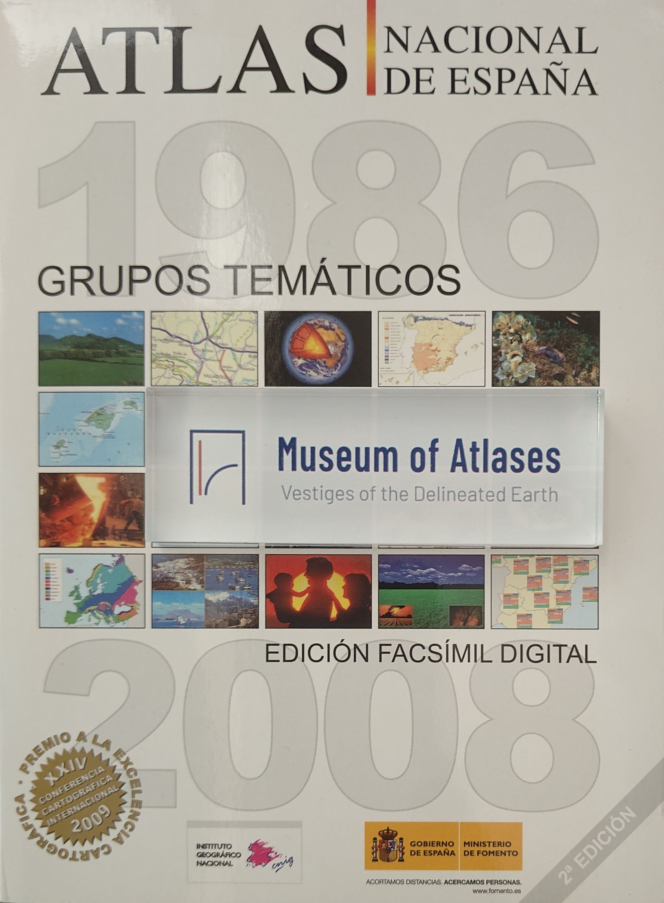
The National Atlas of Spain (ANE) constitutes a comprehensive synthesis of the country's physical, social, and economic reality, bringing together geographic information essential for both public and private decision-making. The project was commissioned to the National Geographic Institute (IGN) by the Council of Ministers in 1986, launched in 1987 with a multidisciplinary team and participation from various ministries and institutions. The complete work is structured into 48 thematic groups, published as 45 fascicles, 5 volumes, and electronic books. In 2009, a digital facsimile edition of the 1986-2008 thematic groups was released to commemorate over 20 years of work, utilizing Adobe Flash technology and comprising 80 publications with more than 3,700 pages. This product received the Cartographic Excellence Award in the digital products category at the XXIV International Cartographic Conference in Santiago, Chile, in 2009. The ANE has also developed didactic resources for education, including two geography teaching projects—"Spain through Maps" and "Population in Spain"—and established the Spanish National Atlas Information System (SIANE) to enable efficient content production and near-real-time updates.
Comments
Loading...
0/2000