
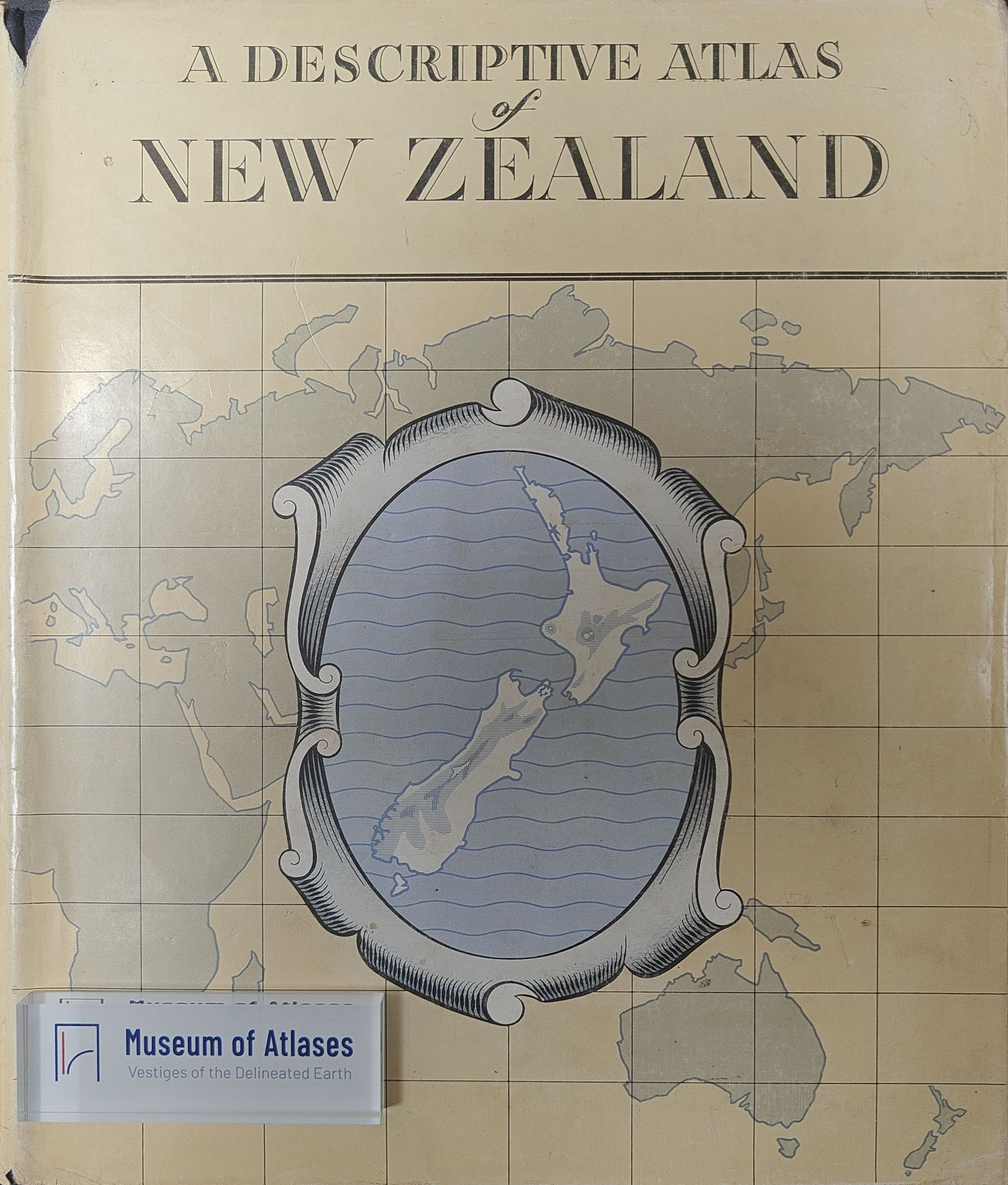
A regional atlas of New Zealand
Ein Regionalatlas von Neuseeland
- Publication
- Petermanns geographische Mitteilungen
- Volume
- 104
- Issue
- 2-3
- Pages
- 225-226
New Zealand · Version 1
1960–1976View whole-article summary
This review evaluates A Descriptive Atlas of New Zealand, conceived as a national atlas in 1954, produced under state cartographic leadership, and published in 1959 with statistical information updated largely through 1958. It examines the volume’s organization, textual coverage, cartographic methods, thematic design, and use of aerial photography. The atlas combines 27 concise chapters on settlement history, physical geography, soils, land use, natural resources, economy, population, government, and dependent Pacific and Antarctic territories with topographic and thematic maps, indexes, a gazetteer, and 24 annotated oblique aerial photographs. The reviewer emphasizes the balanced integration of text, statistical tables, explanatory maps, and visual material. Particularly strong features include the treatment of tectonics and geomorphology, ecological changes following European settlement, land classification, and New Zealand’s post-1945 economic development toward greater diversification and a stronger domestic market. The cartography is praised for appropriate projections, restrained colors, legibility, and clear representations of geology, climate, population, and major cities. The aerial photographs are judged the atlas’s most valuable component because their mapped viewpoints and concise analyses connect landscape morphology with land use. Criticisms concern the absence of special maps for certain major regions, outdated-looking maps of administered Pacific islands, uneven geographic distribution of photographs, and poor readability where double-page maps disappear into the binding. Despite these limitations, the atlas is regarded as an aesthetically coherent, authoritative, and exceptionally informative synthesis of New Zealand’s geography, successfully linking landscape, society, economy, and cartographic representation.
Related Atlases
Comments
Loading...
0/2000