
← BackConference Paper
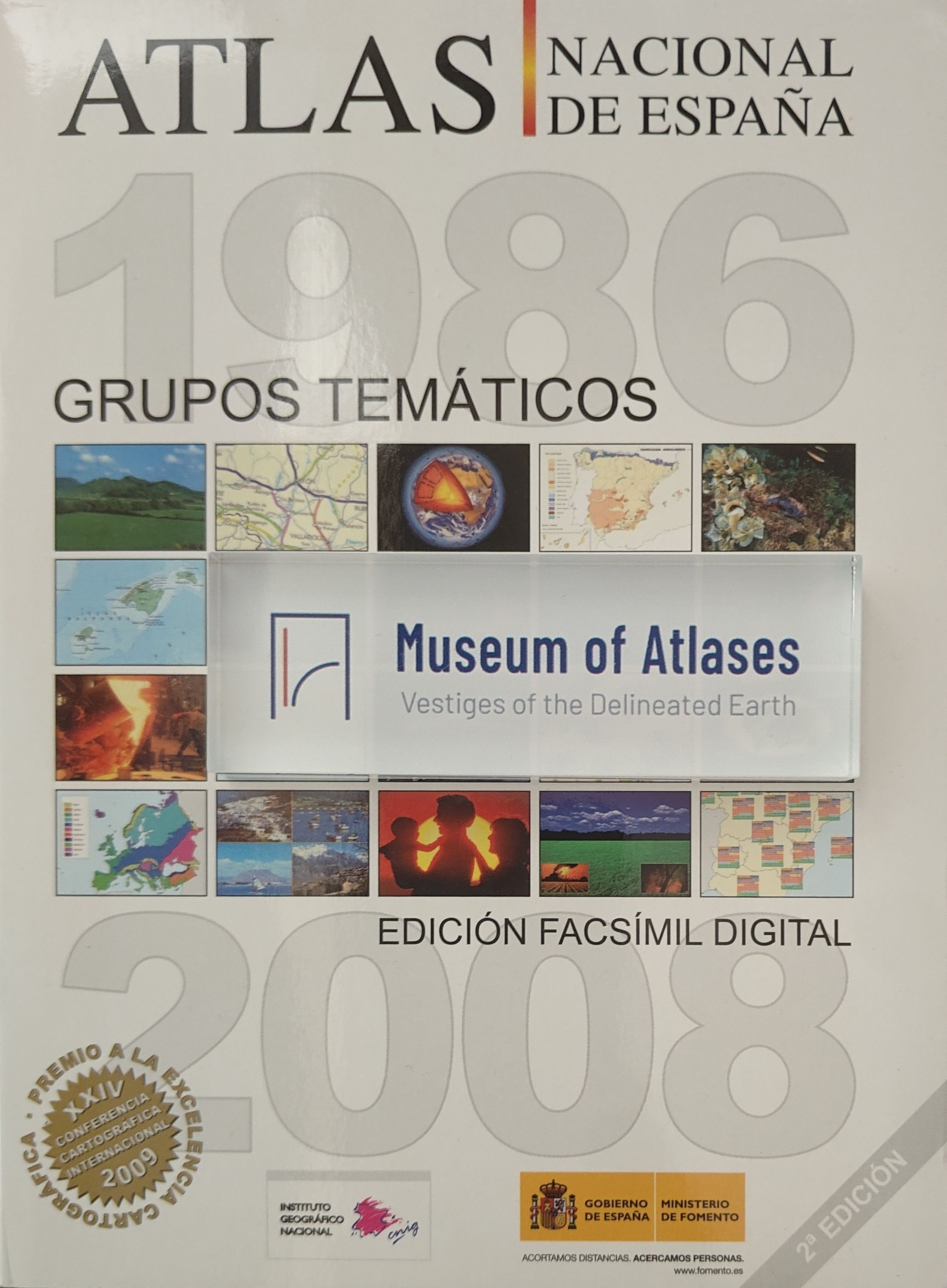
The national atlas of Spain. A completed project
EI Atlas Nacional de Espana. Un Proyecto Concluido
By F. Aranaz
- Publication
- Proceedings of the 16th International Cartographic Conference
- Pages
- 2658
Spain · Version 1
1961–2025← Back to Spain
View whole-article summary
Spain’s National Atlas, commissioned by the Council of Ministers in 1986 and undertaken by the National Geographic Institute, is now substantially complete. Initially designed around 48 themes and 640 pages, the project expanded to more than 1,500 pages and five volumes. Work continues on indexes, new thematic areas, and updates to rapidly changing subjects such as industry and energy. Development has also begun on an electronic multimedia atlas using interactive videodiscs and CD-ROMs, extending the project beyond print publication.
Comments
Loading...
0/2000