
The planning atlas of Australia
Der Planungsatlas von Australien
- Publication
- Allgemeine Vermessungs-Nachrichten
- Issue
- 3
- Pages
- 80-82
Australia · Version 1
1960–1990View whole-article summary
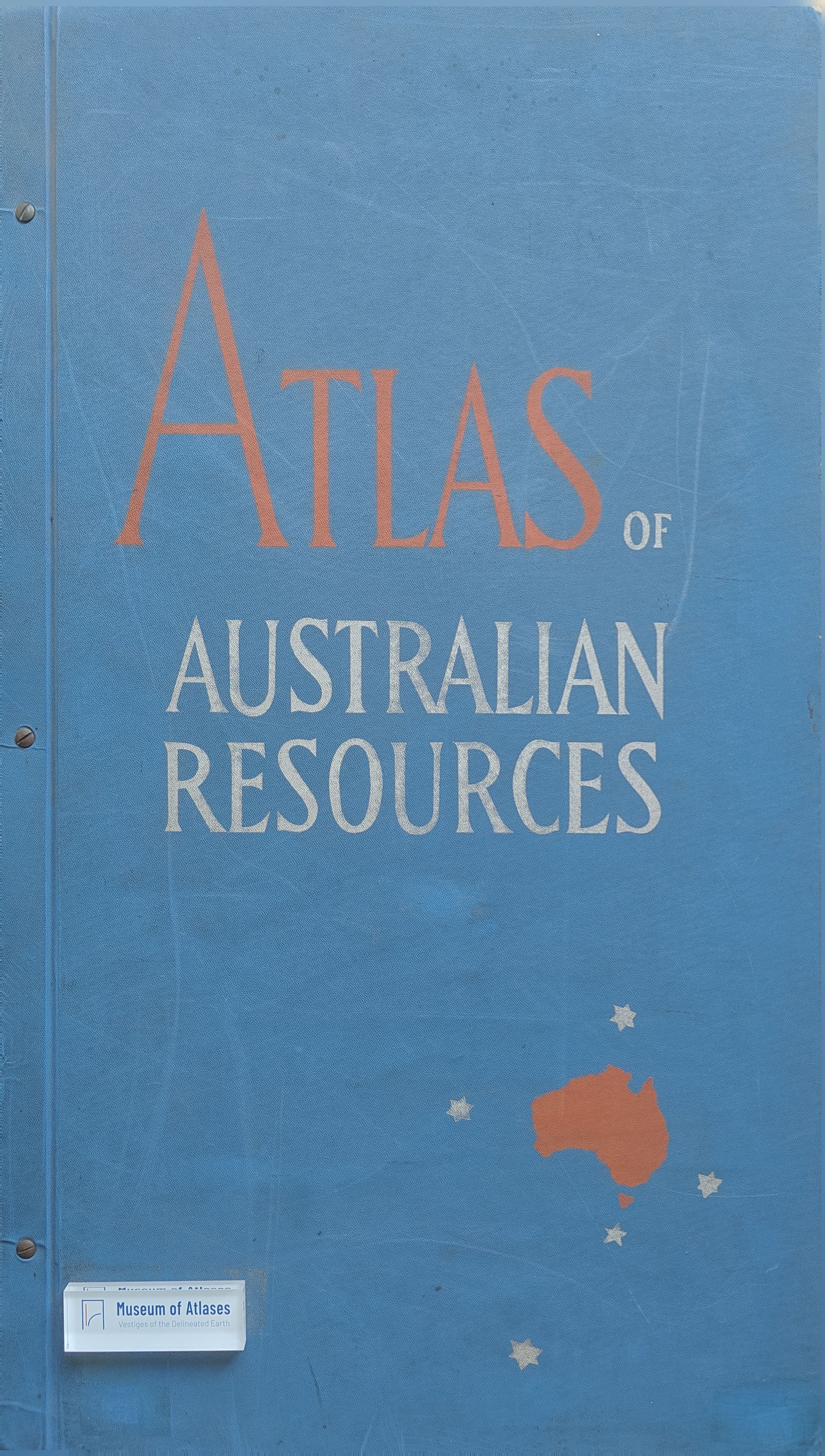
This article reviews the Atlas of Australian Resources, a national planning atlas developed by Australia’s Department of National Development to support informed economic, settlement, and infrastructure planning. Combining statistical evidence with thematic cartography, the planned fifty-sheet atlas maps environmental conditions, natural resources, agriculture, population, and major development projects at a scale of 1:6,000,000. The first ten sheets reveal that favorable soils and climates—and consequently farming, population, and much mineral development—are concentrated mainly in southeastern and southwestern Australia, while aridity severely restricts life in the interior and seasonal dryness affects the north. Nevertheless, mineral and petroleum deposits also occur in remote desert regions. The article praises the atlas’s effective use of scale, sophisticated multicolor design, explanatory texts, and especially its clear visualization of population contrasts. It concludes that the atlas is methodologically valuable and highly significant for Australia’s future development.
Related Atlases
Comments
Loading...
0/2000