
The atlas of Finland
Der Atlas von Finnland
- Publication
- Kartographische Nachrichten
- Volume
- 14
- Issue
- 5
- Pages
- 163-171
Finland · Version 1
1899–2002View whole-article summary
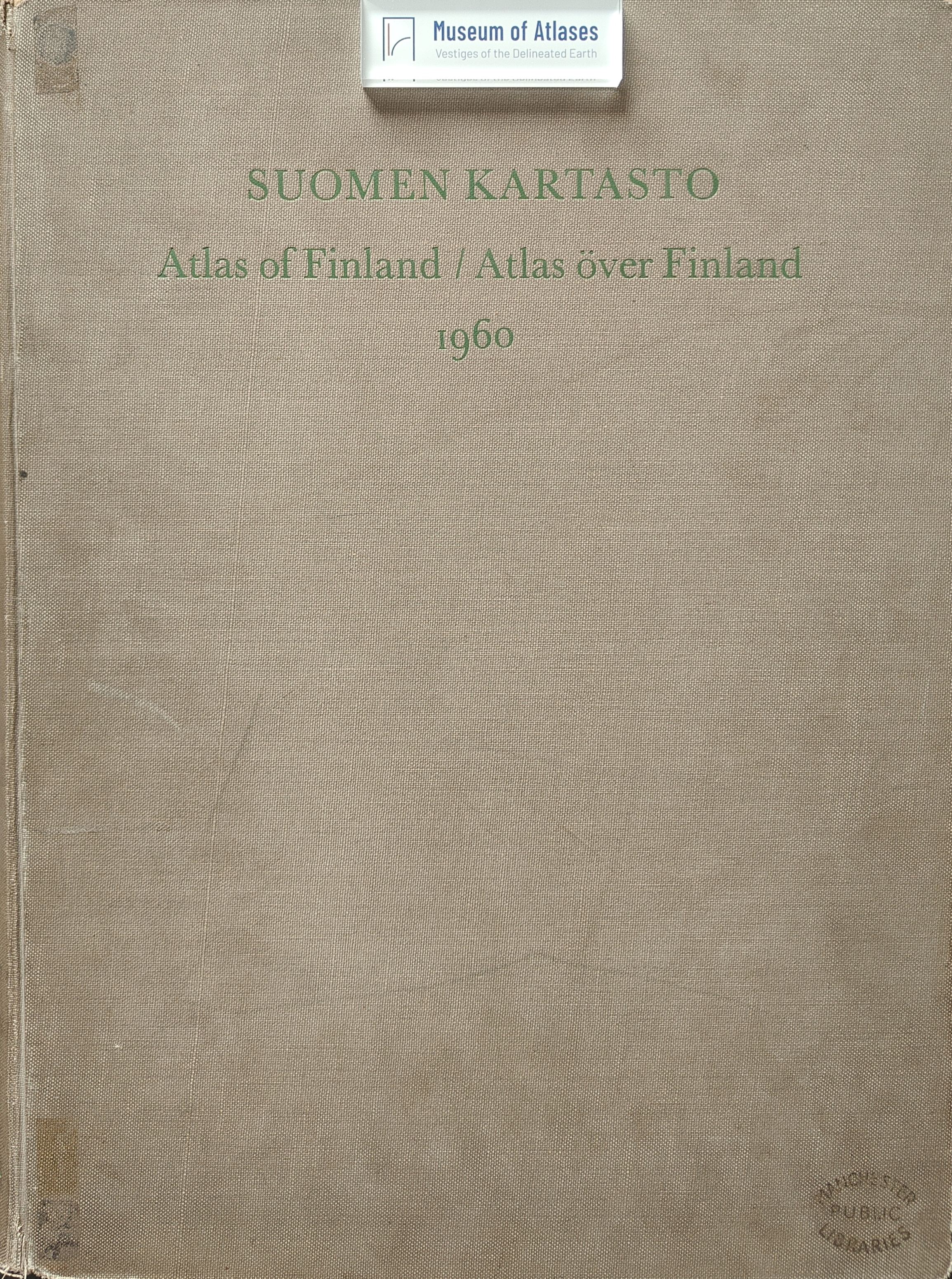
This article reviews the origins, development, content, cartographic methods, and practical significance of the Atlas of Finland, with particular emphasis on its fourth edition, the Atlas of Finland 1960. The Finnish Geographical Society, founded in 1888, initiated and edited the national atlas as a collaborative undertaking involving numerous research institutions, government agencies, and scholars. The first edition grew out of materials favorably received at the Sixth International Geographical Congress in 1895 and was published in 1899 in Finnish, Swedish, and French. Besides educating Finnish readers, it sought to provide accurate knowledge of Finland abroad and thereby carried political importance during a difficult period in the country’s national history. The substantially expanded second edition, prepared for 1910 and completed in 1911, aimed both to improve national self-knowledge and to contribute to international science and culture. It notably included extensive maps of coastal waters and urban maps at 1:50,000. The third edition, Atlas of Finland 1925, appeared in 1929 after independence and added information on national surveying and mapping; English subsequently replaced French as the third language. The 1960 edition represents a major conceptual and technical advance. It contains 415 maps, compared with 275 in the preceding edition, and combines representations of contemporary conditions with temporal cross-sections and cumulative data to reveal long-term development. The atlas is characterized as an anatomical textbook of Finland: its analytical maps expose the country’s internal structure and provide essential knowledge for national, regional, urban, and land-use planning. Modern reproduction, masking, engraving, color-screen, copying, and offset-printing techniques enabled smaller scales without sacrificing clarity and made revision more economical. The article illustrates the atlas’s treatment of Finland’s physical and socioeconomic geography. Maps relate soils, extensive peatlands, drainage, forestry, and agricultural land use, showing why cultivated areas are concentrated in southern and western Finland. They also demonstrate the close spatial relationship between arable land and rural population density. Population is increasingly concentrated in the south, with half of all Finns living on roughly one tenth of the national territory. Industrial maps trace Finland’s transition from an agrarian society to rapid postwar industrialization and reveal pronounced regional and sectoral concentration. A threefold division distinguishes industrialized southern Finland, a diversified transitional zone, and northern “Natural Finland,” oriented mainly toward raw-material production. Transport maps, including the 1960 air network, show how improved connections integrate a country extending more than 1,000 kilometers from north to south. The article concludes that such a comprehensive atlas depends on state support and broad institutional cooperation, especially among the Finnish Geographical Society, the University of Helsinki, and the National Land Survey. Although preparation is too demanding for very frequent editions, technological progress should permit shorter revision cycles. Finally, the author advocates international coordination of national atlases, potentially under the International Cartographic Association and the International Geographical Union, to facilitate comparable atlases of larger geographical regions.
Comments
Loading...
0/2000