
Creation Experience of "The National Atlas of Russia"
- Publication
- Proceedings of the 25th International Cartographic Conference
- Pages
- CO-373
Russia · Version 1
2004–2011View whole-article summary
The creation of "The National Atlas of Russia" began to develop actively from the late 1950s to early 1960s, with its concept originally derived from the USSR National Atlas project. In 1994, the Government of the Russian Federation designated the creation of "The National Atlas of Russia" as a key task in the federal target program. In 1995, leading geographers, cartographers, historians and other specialists developed the "Concept of The National Atlas of Russia," initially planning a ten-volume edition with a scale of 1:10,000,000 and a format of 57×45 cm. However, due to insufficient funding, the ten-volume variant was not approved. Subsequently, MPA "Kartografija" in coordination with Roscartographya reduced the format to 43×29.5 cm, correspondingly adjusted map scales, and increased the content volume of each book. Ultimately, between 2004 and 2009, the atlas was published in four volumes: Volume 1 "General Characteristic of Territory" (2004), Volume 2 "Nature. Ecology" (2007), Volume 3 "Population. Economy" (2008), and Volume 4 "History. Culture" (2008). "The National Atlas of Russia" is a fundamental comprehensive cartographic product designed to provide a complete representation of Russia's nature, population, economy, ecology, history and culture, serving as a national code of scientifically processed and mutually coordinated existential information. As an official state publication, it was created by Roscartographya under the instruction of the Government of the Russian Federation dated May 26, 2000. The atlas implements mapping at four spatial-geographical levels: global and Eurasian, all-Russian, regional, and local, with map scales ranging from 1:150,000,000 to 1:1,000,000. Volume 1 contains 496 pages of maps and text material organized into six sections: Introduction; Formation, Research and Mapping of Russia's Territory; Federal Division of Russia; Geographical Regions and Seas Washing Russia's Territory; Reference Data; and Index of Place Names. Volume 4 contains 496 pages of maps, text and illustrative material grouped into two parts, "History" and "Culture," systematically presenting the development of the Russian state from antiquity to the present in chronological order. The atlas involved approximately 1,000 scientists, cartographers and experts from more than 50 scientific organizations, utilizing modern technologies including the GIS-Neva program. Electronic versions of the first three volumes have been released, with the fourth volume's electronic version and GIS versions of all four volumes planned. The atlas has received high international recognition: Volume 1 received the "Award for Outstanding Achievements in Cartography" at the 22nd International Cartographic Conference in 2005; Volume 2 received a 1st degree award at the 23rd International Cartographic Conference in 2007; Volume 3 won the competition "The Best Tourist Map" in 2008; and the four-volume set won "The Big Gold Medal of the Siberian Fair GEO-SIBIR-2010" in 2010.
Related Atlases
National Atlas of Russia in Four Volumes, Volume 2: Nature and Ecology
Russia · 2007
National Atlas of Russia in Four Volumes, Volume 1: General Characteristics of the Territory
Russia · 2005
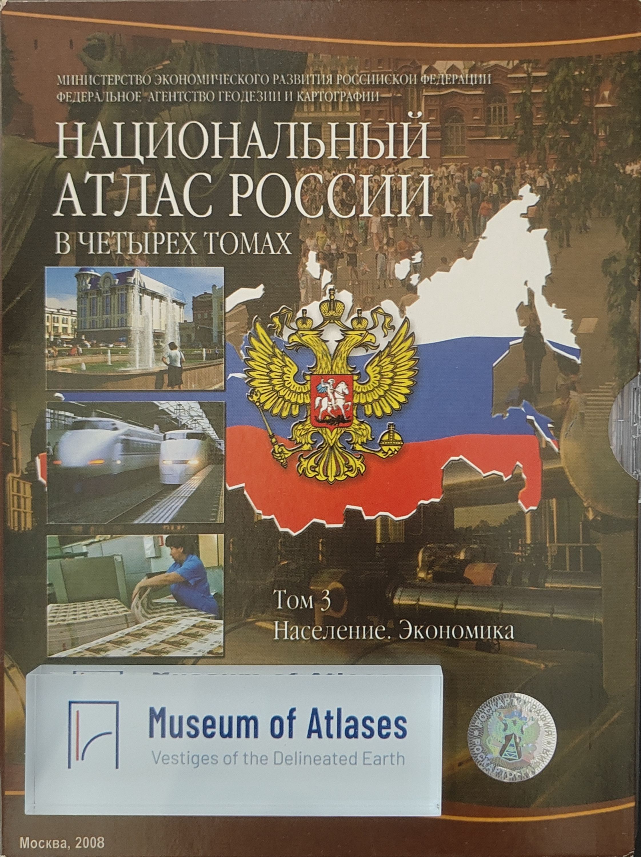
National Atlas of Russia, Volume 3: Population. Economy
Russia · 2008
National Atlas of Russia in Four Volumes, Volume 3: Population. Economy
Russia · 2008
National Atlas of Russia, Volume 4: History. Culture
Russia · 2008
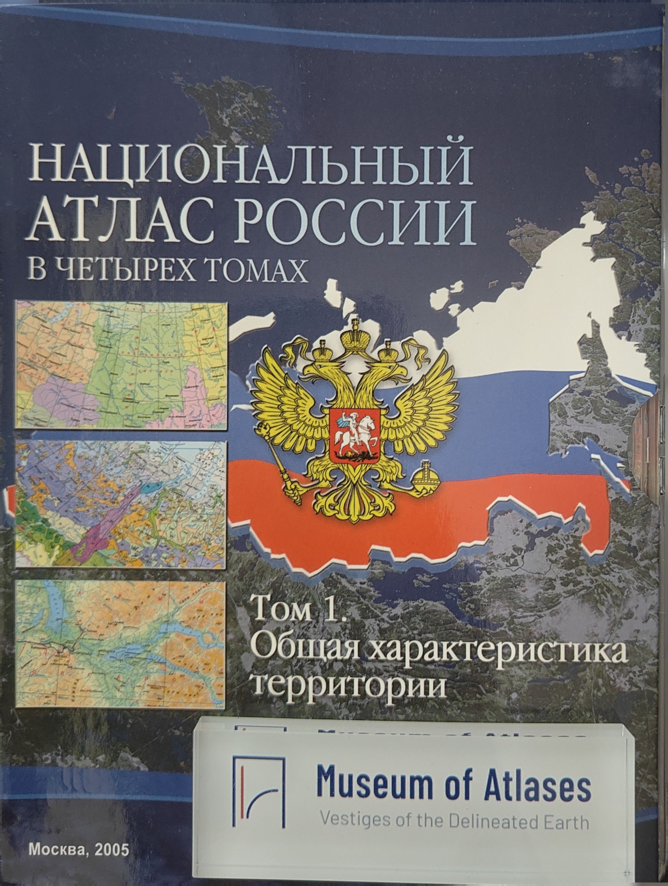
National Atlas of Russia, Volume 1: General Characteristics of the Territory
Russia · 2004
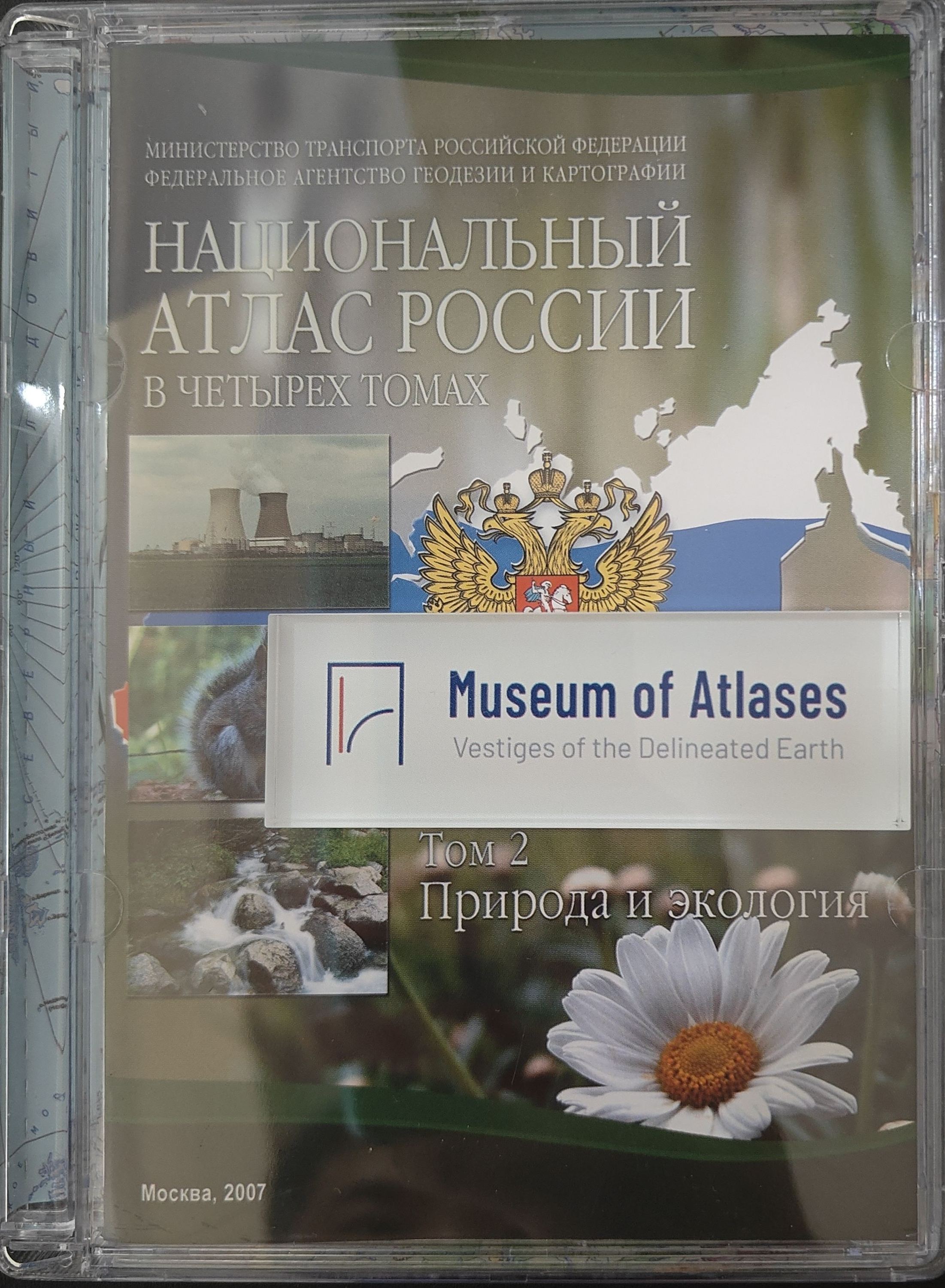
National Atlas of Russia, Volume 2: Nature. Ecology
Russia · 2007
National Atlas of Russia in Four Volumes
Russia · 2011
Comments
Loading...
0/2000