
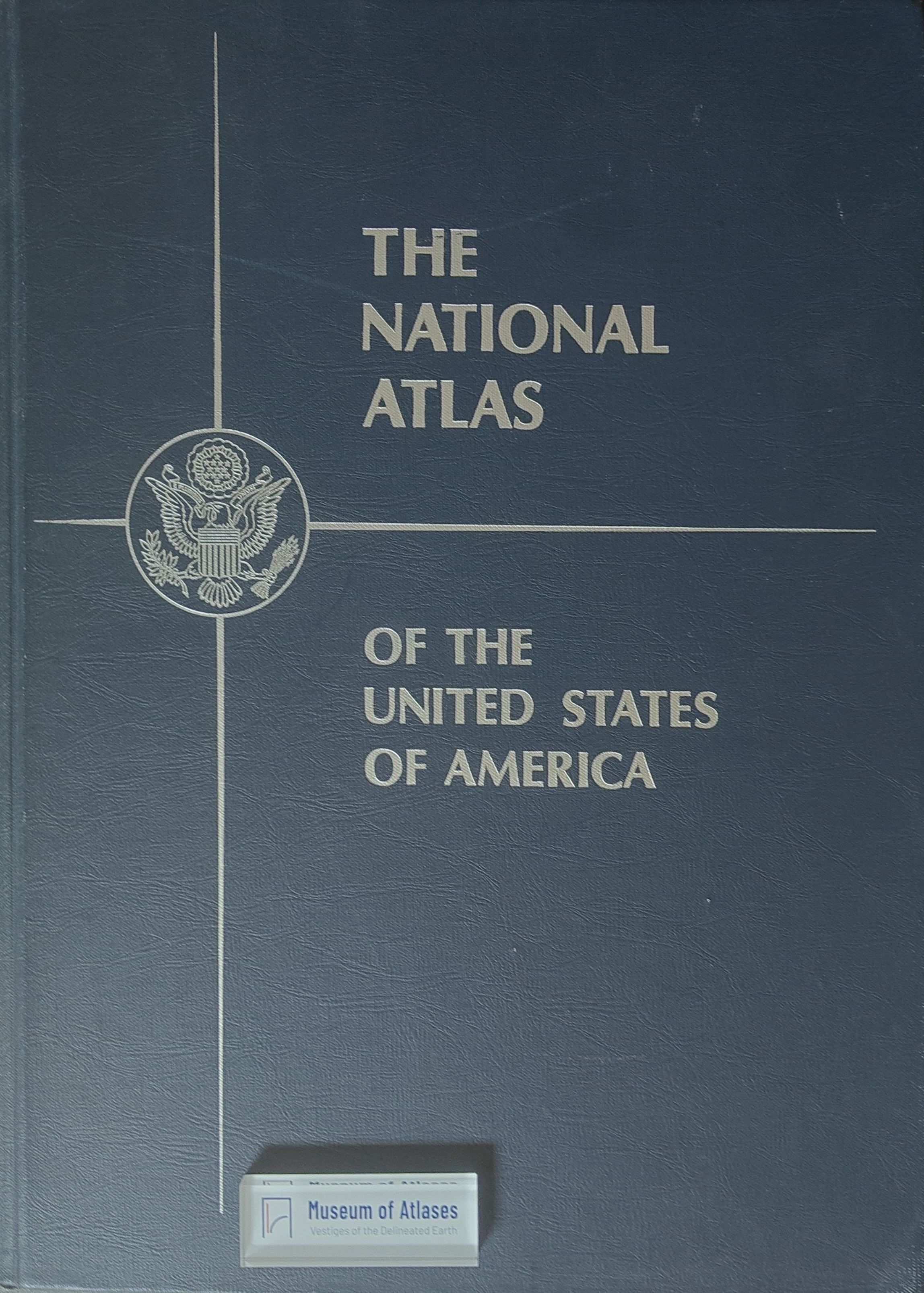
Review: The national atlas of the United States of America
Compte rendu: The National Atlas of the United States of America
- Publication
- Revue de Géographie de Montréal
- Volume
- 27
- Issue
- 1
- Pages
- 103–104
United States · Version 2
1970–2013View whole-article summary
This review evaluates the first National Atlas of the United States, a monumental reference work produced over eight years by the U.S. Geological Survey. It assesses the atlas’s structure, thematic coverage, data, and cartographic design. Comprising 765 maps and an extensive index, the volume provides accessible information on physical, economic, human, historical, and administrative geography. Its organization and analytical approach are largely conventional: most maps present raw census or statistical data, synthetic interpretations are scarce, sociocultural coverage is limited, and many datasets are outdated. Nevertheless, several complex industrial and commercial maps, as well as uncommon treatments of karst, coastlines, air pollution, hurricanes, and groundwater, are particularly valuable. Appropriate projections, scales, and color choices ensure consistently high production quality. Despite its size, cost, and limited methodological innovation, the atlas is an indispensable library resource and a rich source of geographical information on the United States.
Related Atlases
Comments
Loading...
0/2000