
Comprehensive geographic atlas of Venezuela
Комплексный географический атлас Венесуэлы
- Publication
- Геодезия и картография
- Issue
- 7
- Pages
- 66–70
Venezuela · Version 1
1969–1979View whole-article summary
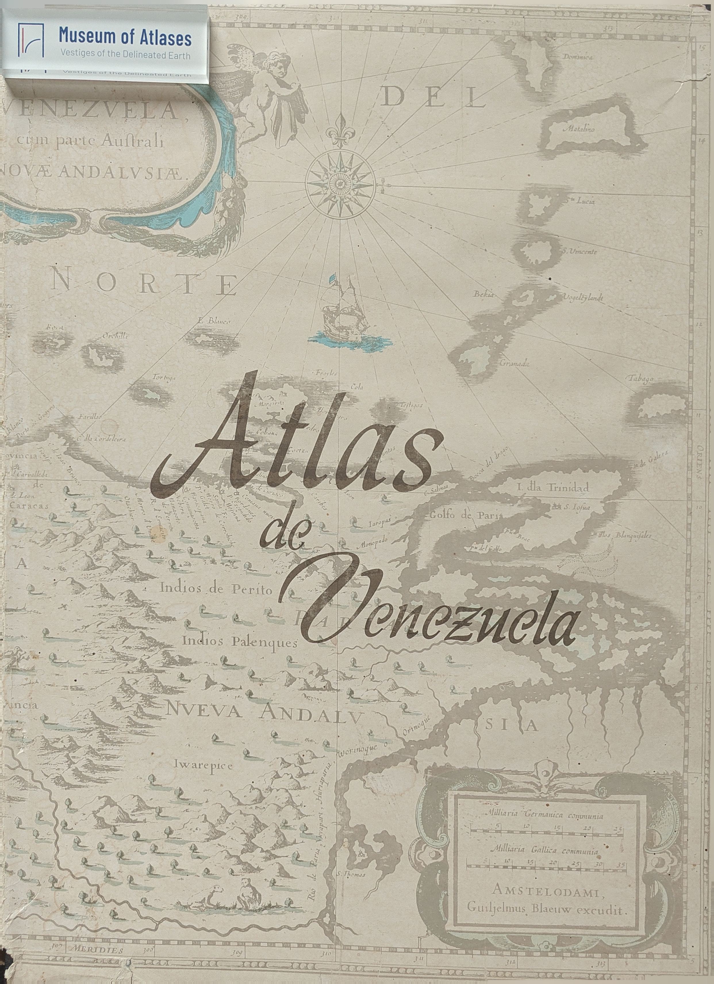
This article critically reviews the 1969 Atlas of Venezuela, placing it within the broader development of national comprehensive atlases in Latin America amid the region’s growing pursuit of autonomous economic development. Published by Venezuela’s Ministry of Public Works and Directorate of National Cartography with contributions from more than fifty institutions, the atlas comprises 216 pages, 126 maps, explanatory texts, photographs, diagrams, and tables. The review examines its organization, thematic coverage, cartographic methods, source data, informational value, and technical quality. Ten sections address historical and modern cartography, Caracas, administrative territories, physical geography, population, the economy, transport, culture and social conditions, and urbanization. Particular attention is given to maps of tectonics, climate, vegetation, settlement, migration, agriculture, industry, petroleum, mineral resources, trade, transport, education, health care, and tourism. The atlas successfully presents Venezuela’s regional diversity and emphasizes economically significant themes, especially petroleum production, mineral resources, infrastructure, water-resource development, and rapid urban growth. Its combination of thematic maps with statistical tables and graphic materials gives it substantial scientific, educational, and reference value. Several maps are judged innovative or especially informative, including those depicting tectonic structures, bioclimatic regions, thermal belts, oil exploitation, mineral deposits, housing shortages, and planned land use in major cities. Nevertheless, the review identifies important limitations. Much of the statistical foundation dates from 1961 or 1967, while some topographic samples lack quantitative and qualitative characteristics. The administrative maps are weakened by the absence of a geographical-name index. Certain physical-geographical units and zoogeographical criteria are insufficiently explained; runoff data needed to assess water resources are missing; and soil information excludes much of southern Venezuela. Socioeconomic coverage is also uneven: unemployment, land-tenure systems, land-use structure, agricultural specialization, and the full sectoral composition of the economically active population receive inadequate cartographic treatment. Urban population trends do not fully exploit available census data, and several industrial maps omit quantitative indicators. Despite these shortcomings, the reviewer concludes that Venezuela’s first comprehensive national atlas is broadly successful, aided by earlier specialized atlases of roads, climate, agriculture, and forests. Its wide thematic scope, abundant reference material, strong printing, and accomplished visual design offer a detailed portrayal of the country’s natural environment, economy, population, and culture. The atlas therefore represents both a significant achievement in Venezuelan thematic cartography and a valuable source for international readers seeking to understand the country and the distinctive development of Latin American national atlas-making.
Comments
Loading...
0/2000