
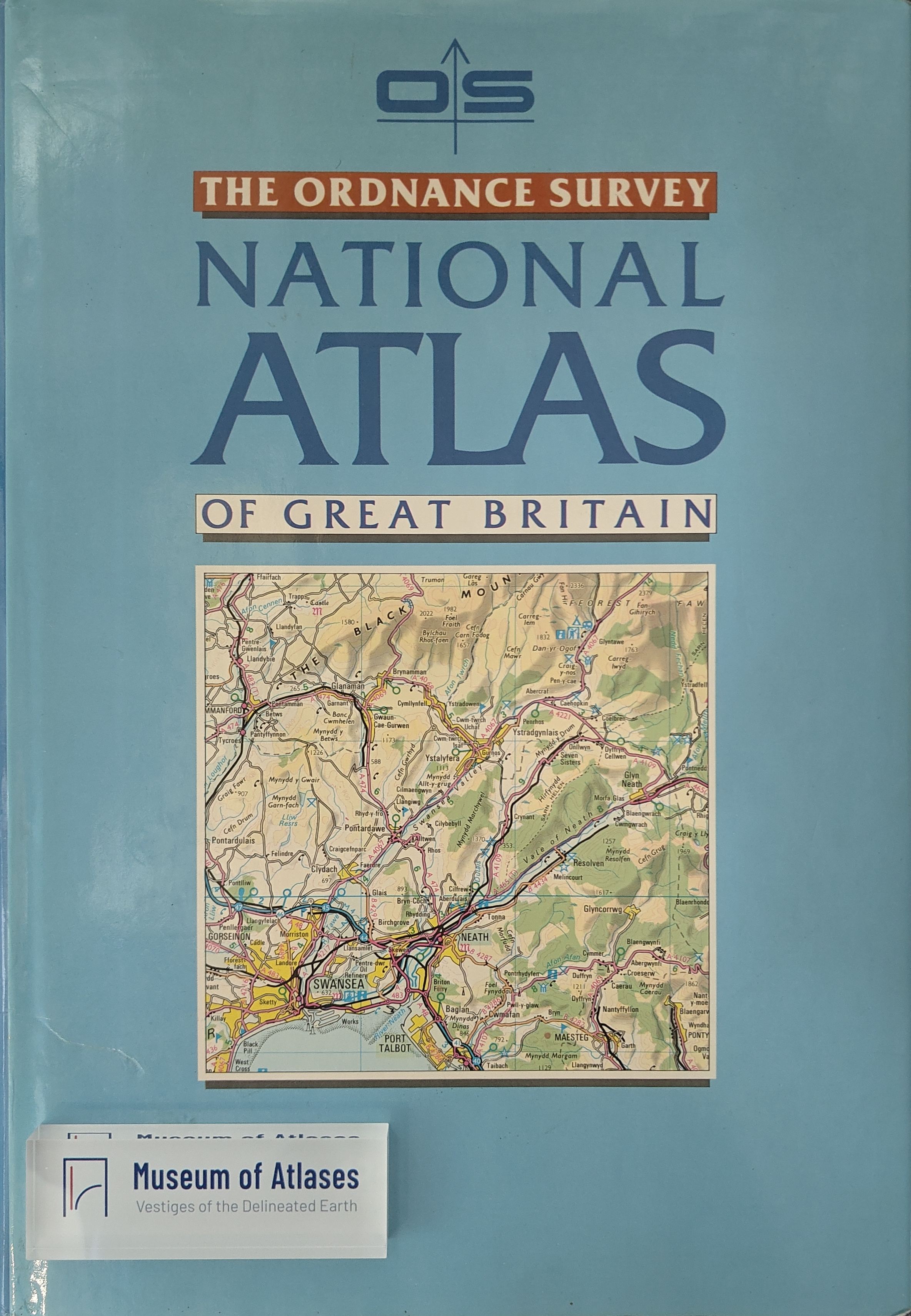
Cartographical Survey: The Ordnance Survey Atlas of Great Britain
- Publication
- The Geographical Journal
- Volume
- 149
- Issue
- 2
- Pages
- 254-256
United Kingdom · Version 1
1963–2010View whole-article summary
This paper presents a detailed critical review of The Ordnance Survey Atlas of Great Britain, published in 1982 as a collaborative effort between the Ordnance Survey and Country Life Books. The reviewer notes that although the atlas contains a complete set of 1:250,000 scale maps, specially commissioned thematic illustrations, and an index of over 32,000 entries, its intended purpose and target audience remain unclear. The review primarily criticizes the cartographic quality, including reduced contrast between route networks and backgrounds that impairs legibility, incomplete National Grid referencing, and truncated place names across page boundaries. While the accompanying text in the thematic section is praised as excellent, the illustrations lack proper linkage to the base maps, and several maps omit dates and national boundaries. The author concludes that the atlas fails to meet the Ordnance Survey's traditionally high standards, lacks competitiveness in the commercial market, and represents a missed opportunity to produce a definitive National Atlas of the United Kingdom.
Related Atlases
Comments
Loading...
0/2000