
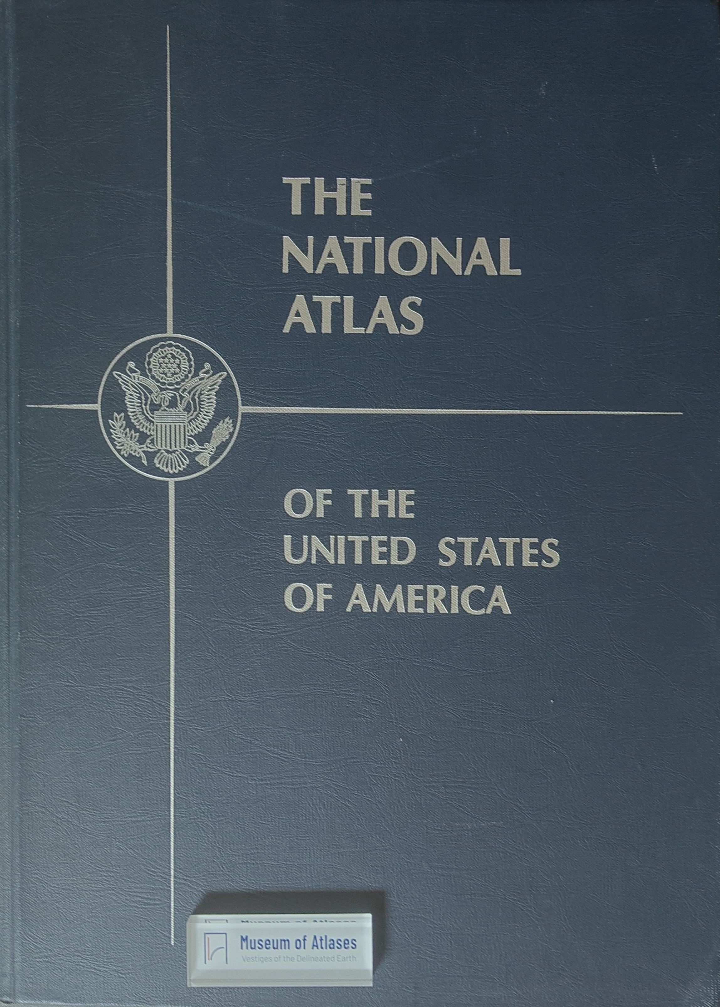
Book reviews: National atlas of the United States
Buchbesprechungen: National Atlas of the United States
- Publication
- Erdkunde
- Volume
- 20
- Issue
- 1
- Pages
- 78
United States · Version 2
1970–2013View whole-article summary
This review examines the 1958 National Atlas of the United States, a cartographic collection developed from earlier work by US government mapping agencies. Designed as an expandable series of loose or bindable sheets, the atlas presents climate, soil surveys, aerial photography, and especially the development and regional differentiation of agriculture. Agricultural maps use dot-distribution techniques and cartograms to depict major products, land use, farm size, ownership, growth, and relative significance. Explanatory texts appear on the reverse of each sheet. The reviewer regards the atlas as an exceptionally well-produced and indispensable resource for studying the geography of the United States. It also demonstrates growing official recognition of geographical relationships and a commitment to making such knowledge accessible to the wider public.
Related Atlases
Comments
Loading...
0/2000