
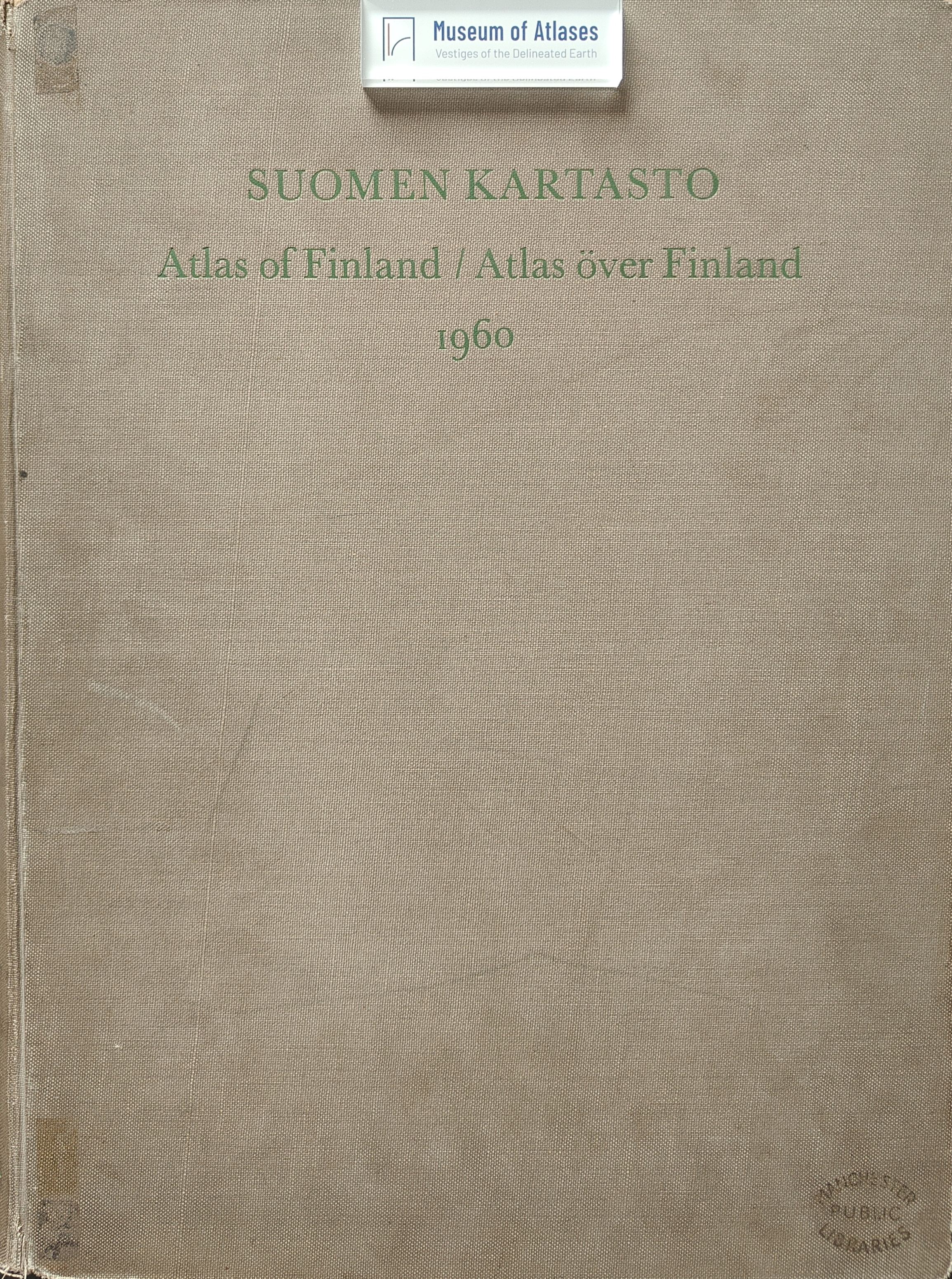
Book reviews: Atlas of Finland
Besprechungen: Suomen Kartasto
- Publication
- Petermanns geographische Mitteilungen
- Volume
- 108
- Issue
- 4
- Pages
- 317-318
Finland · Version 1
1899–2002View whole-article summary
This review evaluates the 1960 edition of the Atlas of Finland, prepared under Leo Aario by the Geographical Society of Finland and the University of Helsinki for the International Geographical Congress in Stockholm. Updating the long-outdated 1925 edition, the atlas retains 39 plates but expands the number of individual maps from 299 to more than 400 through smaller scales and denser layouts. Its multilingual maps cover physical geography, population, agriculture, forestry, industry, trade, transport, public finance, education, health, history, elections, and geographical regions. The reviewer praises the enlarged thematic scope, improved source base, refined cartographic techniques, effective use of color, and especially the scientifically grounded forestry maps. These strengths make the atlas an authoritative and detailed representation of Finland’s landscape, society, culture, and economy. Nevertheless, the review identifies serious problems in Plate 38, particularly its synthetic regional-development map. Its portrayal of industrial potential and widely available hydropower is considered overly generalized, insufficiently connected to actual settlement and economic patterns, and potentially misleading. The map also fails to incorporate important Finnish regional-planning scholarship. The reviewer therefore recommends replacing it in a future edition with a larger-scale, methodologically clearer, and more comprehensive representation. Despite this criticism, the atlas is judged an outstanding national reference work and a major contribution to Finnish geography.
Comments
Loading...
0/2000