
Book reviews: Atlas of spatial development
Besprechungen: Atlas zur Raumentwicklung
- Publication
- Kartographische Nachrichten
- Volume
- 28
- Issue
- 4
- Pages
- 162
West Germany · Version 1
1965–1985View whole-article summary
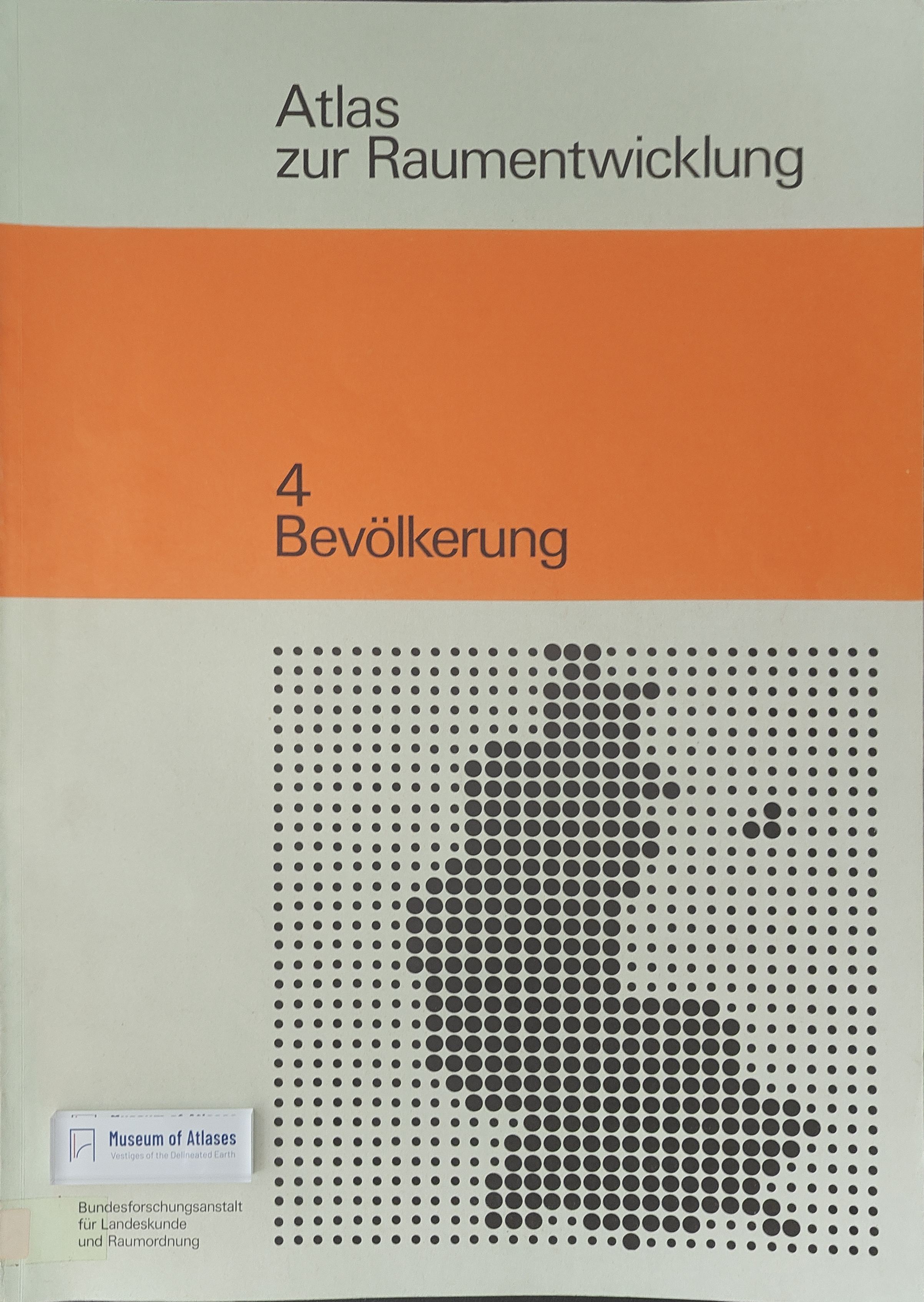
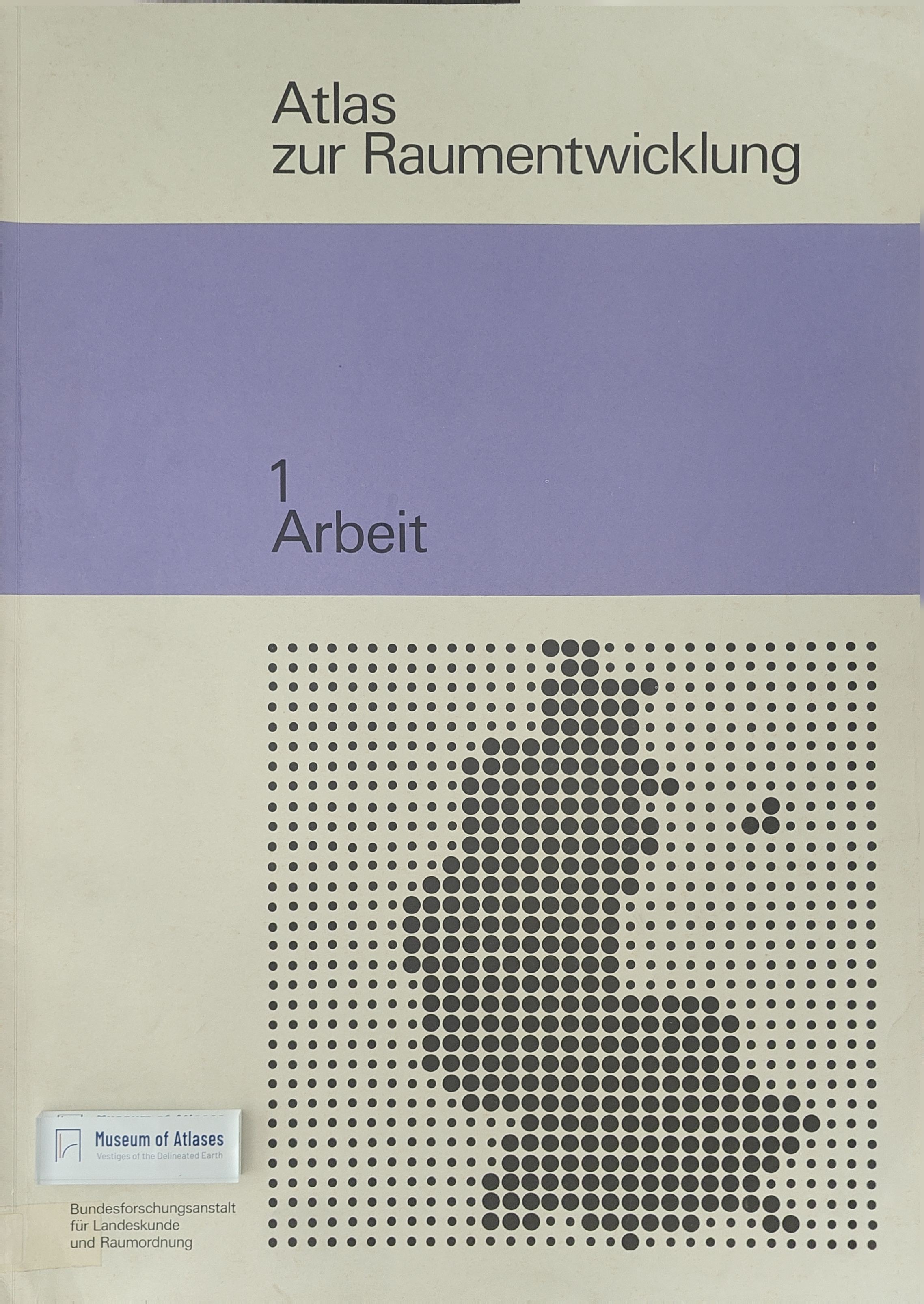
This review evaluates the first published sections of the 1976–1977 Atlas zur Raumentwicklung, devoted to employment and population. Although presented as a continuation of an earlier geographical atlas of West Germany, the new work differs fundamentally in its policy-oriented organization, spatial units, scales, and interpretive ambitions. The reviewer compares both projects and critically examines the atlas’s cartographic methods. Most maps use relative values, changing reference units, and six to eight color classes, making cross-map comparison difficult and increasing the risk of visual misinterpretation. Combining absolute and relative representations could have reduced these problems. Moreover, the maps function chiefly as illustrations rather than independent tools for regional analysis, while accompanying texts emphasize spatial-planning evaluations. The review therefore questions whether the atlas genuinely supports analysis and forecasting or merely visualizes predetermined planning perspectives, highlighting the susceptibility of thematic maps to methodological manipulation.
Related Atlases
Comments
Loading...
0/2000