
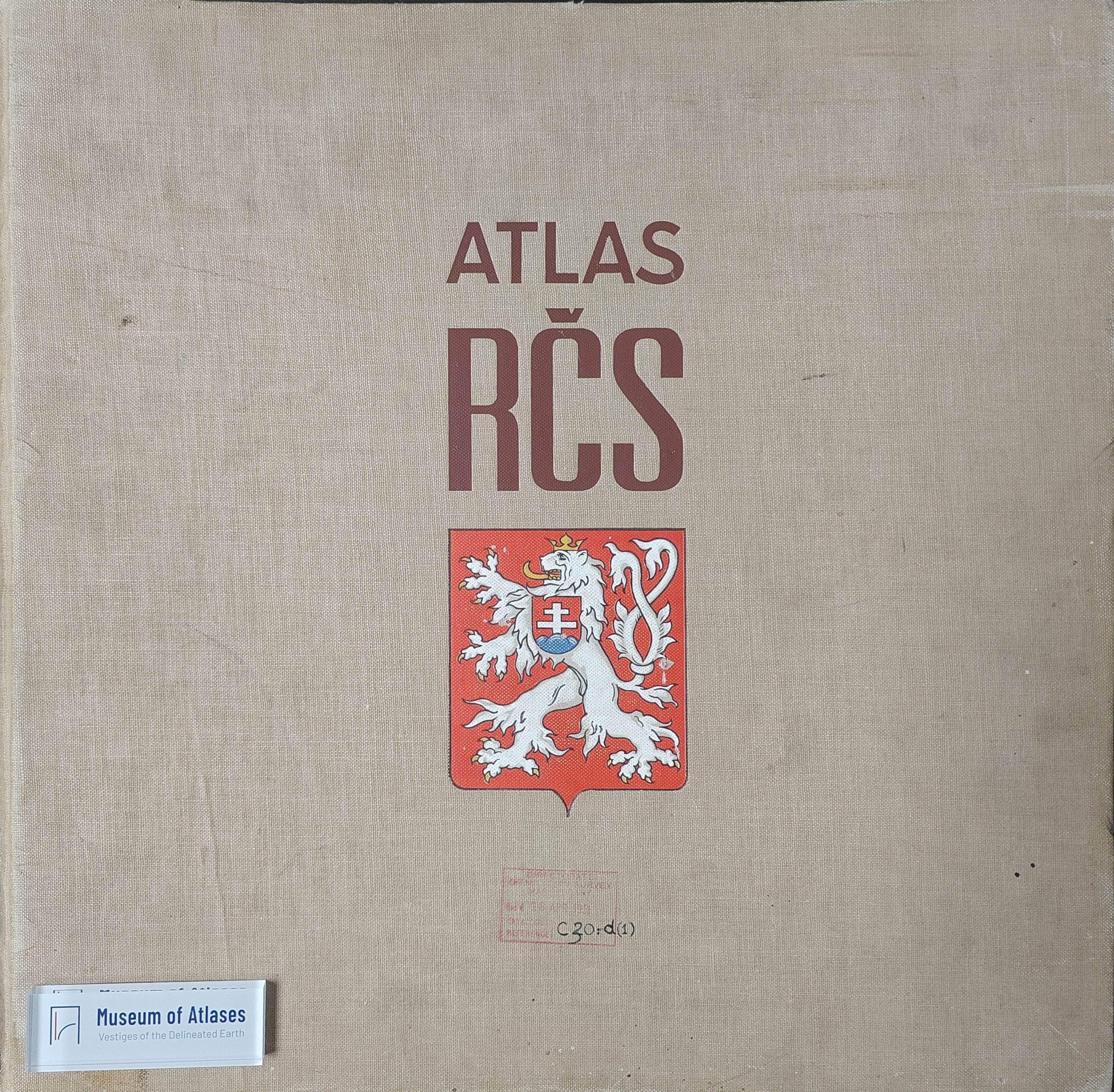
Book reviews: Atlas of the Czechoslovak Republic
Besprechungen: Atlas Republiky Československé
- Publication
- Dr. A. Petermann's Mitteilungen aus Justus Perthes' Geographischer Anstalt
- Volume
- 83
- Pages
- 231–232
Czechoslovak · Version 1
1935–1966View whole-article summary
This review evaluates the 1936 Atlas of the Czechoslovak Republic, a large-scale cartographic and statistical survey covering natural conditions, population, agriculture, industry, transport, trade, and culture. It assesses the atlas’s maps, accompanying texts, thematic scope, and representational choices. Physical geography, climate, geomagnetism, vegetation, soils, agriculture, mining, industry, demographic change, health, and occupations are generally presented clearly and reliably. However, historical coverage neglects long-term German settlement and former political affiliations, while physical maps are artificially truncated at state borders. Most seriously, the 1930 nationality map uses Czech-dominated background coloring and settlement symbols that visually minimize compact non-Czech territories, producing a misleading impression despite technically accurate data. Transport geography and education are also insufficiently documented. Notwithstanding these methodological and political limitations, the reviewer concludes that the atlas remains an indispensable reference for the regional geography of interwar Czechoslovakia.
Related Atlases
Comments
Loading...
0/2000