
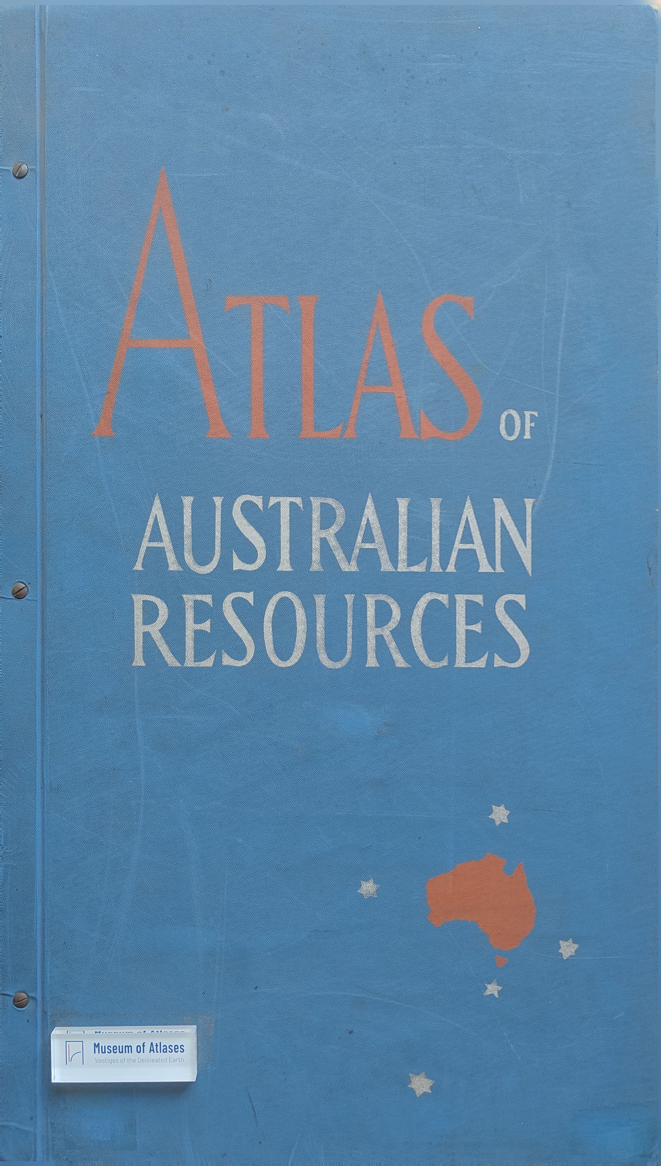
Book reviews: Atlas of Australian resources
Besprechungen: Atlas of Australian Resources
- Publication
- Kartographische Nachrichten
- Volume
- 5
- Issue
- 1
- Pages
- 38-40
Australia · Version 1
1960–1990View whole-article summary
This review examines the first installment of the Atlas of Australian Resources, prepared by the Division of Regional Development within Australia’s Department of National Development under G. Rudduck, with K. Frenzel directing its cartographic production. Intended to deepen international understanding of Australia, the atlas is planned as approximately fifty separate map sheets covering relationships between the natural environment and human activity, including soils, groundwater, climate, population, industry, agriculture, and mineral resources. Each sheet is accompanied by explanatory material containing statistics, diagrams, sketch maps, and commentary, although the principal emphasis remains on cartographic visualization. The review identifies two major formats: nationwide thematic maps at a scale of 1:6,000,000, and composite sheets displaying periodic natural variation through one annual overview and twelve monthly maps. It praises the atlas’s practical modular design, strong color differentiation, restrained topographic base, and broad institutional collaboration among ministries, research institutes, universities, and independent scholars. The rainfall sheet is highlighted for its clear seven-step color scale and effective presentation of annual and monthly patterns. A minor criticism concerns the limited legibility of abbreviated labels on the mineral-resources map. Overall, the atlas is judged an ambitious and valuable instrument for comparing the spatial interdependence of Australia’s environmental, demographic, and economic conditions. Forthcoming sheets on forests, pests, erosion, floods, fires, and fisheries are expected to broaden its analytical value further.
Related Atlases
Comments
Loading...
0/2000