
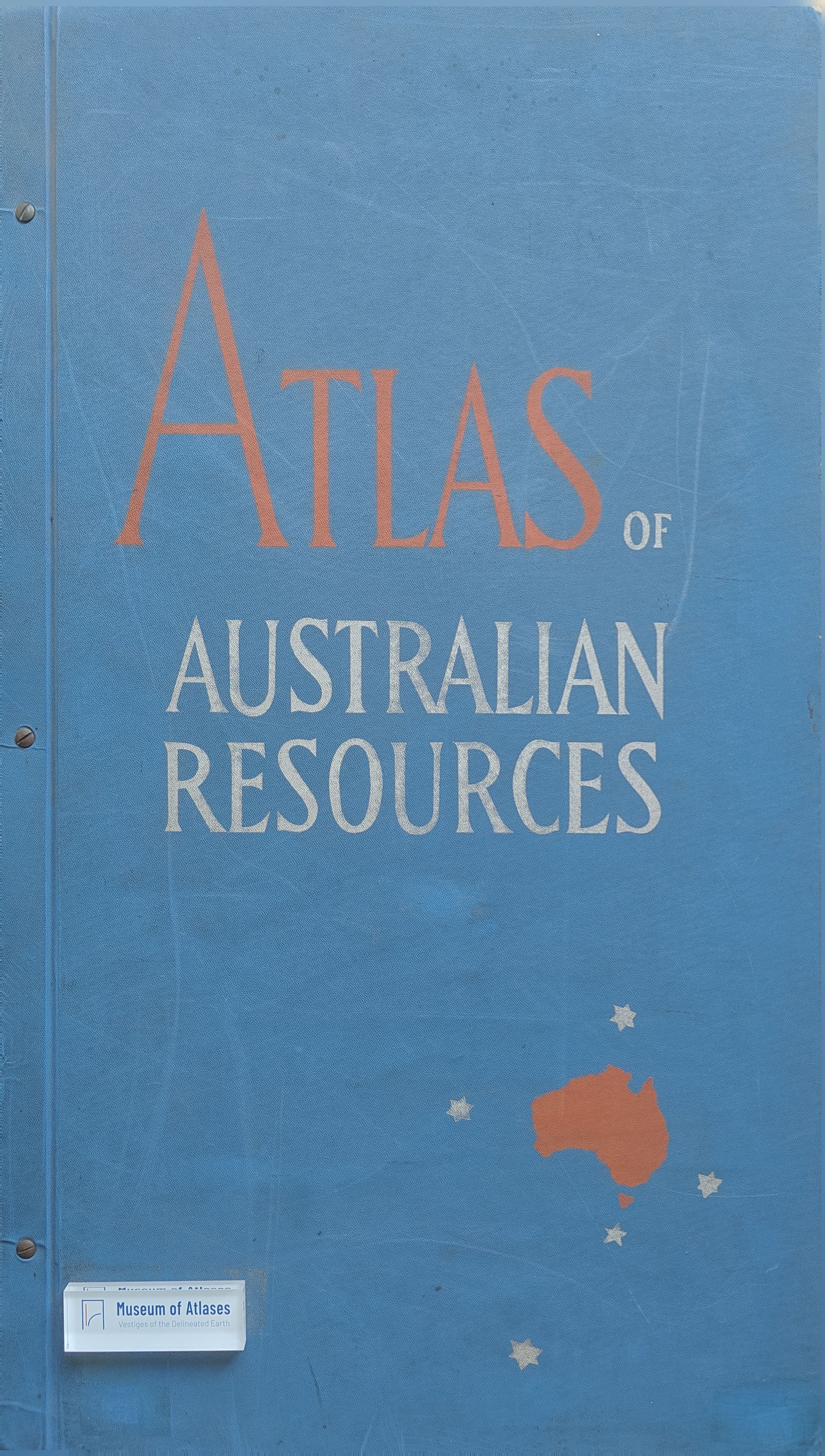
Book reviews: Atlas of Australian resources
Besprechungen: Atlas of Australian Resources
- Publication
- Bildmessung und Luftbildwesen
- Issue
- 1
- Pages
- 32-33
Australia · Version 1
1960–1990View whole-article summary
This review evaluates the initial installments of the planned fifty-sheet Atlas of Australian Resources, a cartographic work designed to document Australia’s economic and cultural development and illuminate its future potential. Published maps cover mineral deposits, climate, precipitation, temperature, groundwater, soils, agriculture, population, administrative divisions, and major development projects. Most themes use a polyconic base map at 1:6,000,000, while seasonally variable phenomena are presented through coordinated monthly, annual, and supplementary maps. The reviewer praises the effective symbols, harmonious color schemes, detailed legends, clear layouts, and authoritative explanatory commentaries prepared by Australian government agencies. Multiple publication formats—including loose sheets, cased folded maps, and bound atlas sheets—enhance usability. Overall, the atlas is regarded as a comprehensive, accessible, and technically accomplished reference work whose prompt wider distribution is strongly encouraged.
Related Atlases
Comments
Loading...
0/2000