
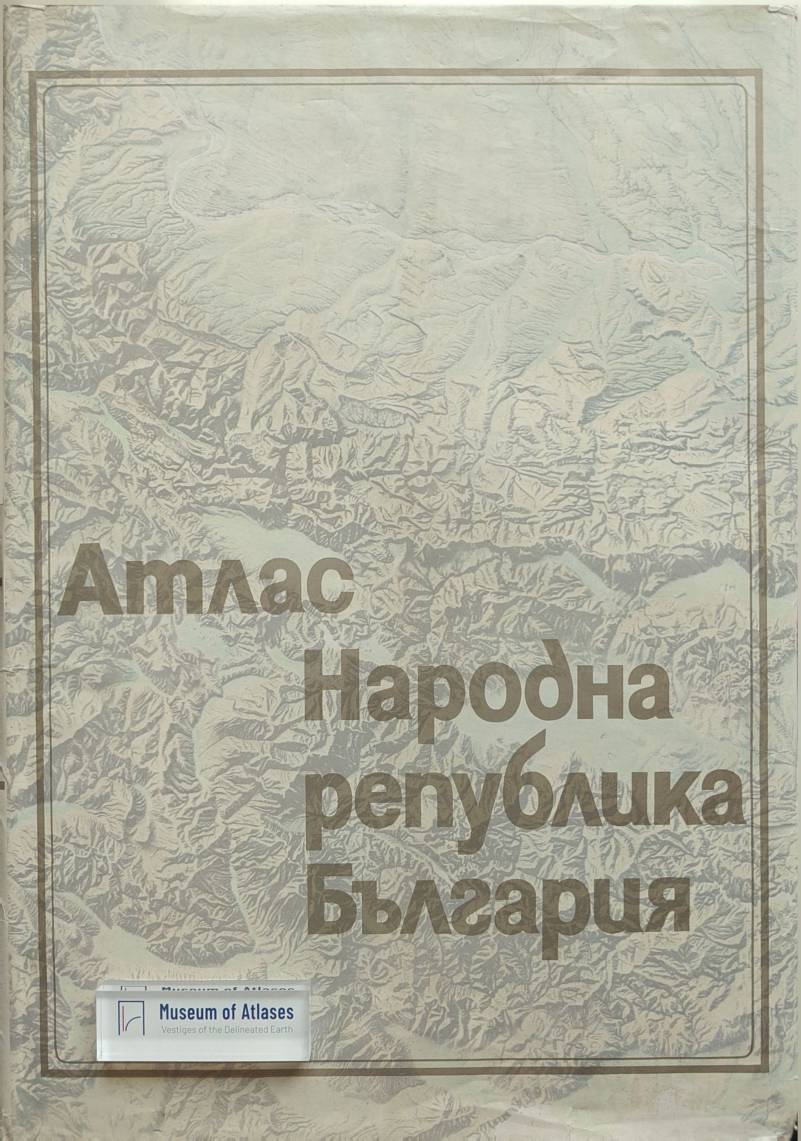
National atlas of Bulgaria
Atlas Narodowy Bułgarii
- Publication
- Przegląd Geograficzny
- Volume
- 47
- Issue
- 4
- Pages
- 798–801
Bulgaria · Version 1
1973–2010View whole-article summary
This article reviews the National Atlas of Bulgaria, published in 1973 by the Geographical Institute of the Bulgarian Academy of Sciences and the Main Administration of Geodesy and Cartography. As the first national atlas of the country, it provides a comprehensive geographical and cartographic synthesis of Bulgaria's natural environment and national economy. The review details the atlas's structure, dividing its 292 maps into four main sections: general, historical, physical geography (156 maps covering geology, climate, hydrology, soils, and biogeography), and economic geography (109 maps on population, industry, agriculture, and transport). It also assesses the cartographic methods, scales, data sources, and editorial quality. The author concludes that the atlas, rich in content and precise in execution, reflects both the achievements of Bulgarian cartography and the nation's economic, cultural, and social progress, earning the Dimitrov Prize in 1974.
Comments
Loading...
0/2000