
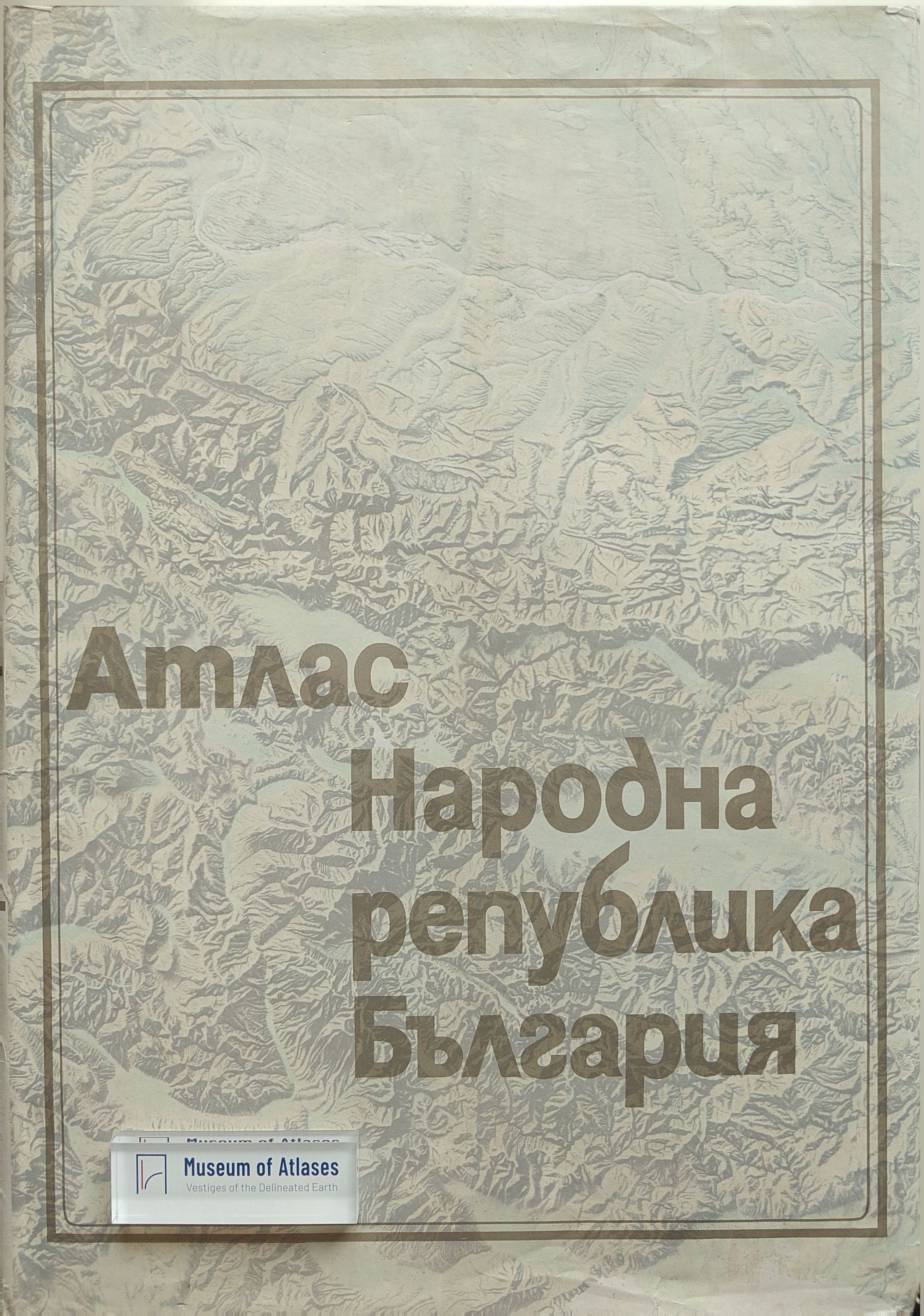
Atlas of the People's Republic of Bulgaria
Atlas Narodna Republika Blgarija
- Publication
- Geografický časopis
- Volume
- 27
- Issue
- 3
- Pages
- 301–306
Bulgaria · Version 1
1973–2010View whole-article summary
This article offers a systematic critical assessment of the Atlas of the People’s Republic of Bulgaria, published in 1973, with the aim of determining its scientific, cartographic, technical, and organizational significance. Jointly produced by the Geographical Institute of the Bulgarian Academy of Sciences and the national geodetic and cartographic administration, with contributions from numerous academic, educational, and governmental institutions, the atlas comprises sixteen introductory pages and 168 pages of maps, graphics, and explanatory texts. The authors combine descriptive review with quantitative analysis, examining the thematic structure of 308 maps, the distribution of page space, the scale system, the map coefficient, cartographic space utilization, the balance between analytical and synthetic representation, and the range of visualization techniques. Physical-geographical maps account for 52.3 percent of the total and socioeconomic maps for 37.7 percent, while the remainder consists of introductory and historical materials. The atlas covers history, geology, geomorphology, climate, hydrology, soils, vegetation, fauna, population, settlements, industry, agriculture, transport, trade, education, culture, health, tourism, and sport. Particular praise is given to the inclusion of historical maps and to the establishment of separate chapters on physical-geographical and economic-geographical regionalization. These choices are regarded as important conceptual innovations because they illuminate the historical formation of contemporary Bulgaria and strengthen the synthetic function of a national atlas. The principal scale is 1:1,000,000, and the three largest commonly used scales occupy 65.1 percent of the atlas’s map volume, providing an effective balance between detail and legibility. Its map coefficient of 2.05, or roughly two maps per page, compares favorably with several major national atlases. However, its cartographic utilization rate of 68.5 percent is relatively low by international standards. Of the 277 physical and socioeconomic maps, 71.1 percent are analytical and 28.9 percent synthetic or complex, a ratio judged appropriate for combining detailed evidence with regional synthesis. The atlas employs all major cartographic methods, especially localized symbols, isolines, area differentiation, choropleths, and diagram maps, frequently in sophisticated combinations. Innovations include double-area and double-isoline techniques, combined choropleth-diagram representations, shaded relief, and two-color hypsographic tinting. Its varied symbols, carefully controlled color schemes, demanding raster combinations, printing, binding, and overall graphic composition are assessed highly. Minor weaknesses include inconvenient page orientation for some maps, overly generalized scales in certain sections, and insufficient tonal distinction in several agricultural choropleths. Overall, the article concludes that the atlas is a major contribution to atlas cartography, demonstrating Bulgaria’s advanced scientific, technical, printing, and institutional capabilities while offering valuable methodological guidance for future comprehensive national atlases.
Comments
Loading...
0/2000