
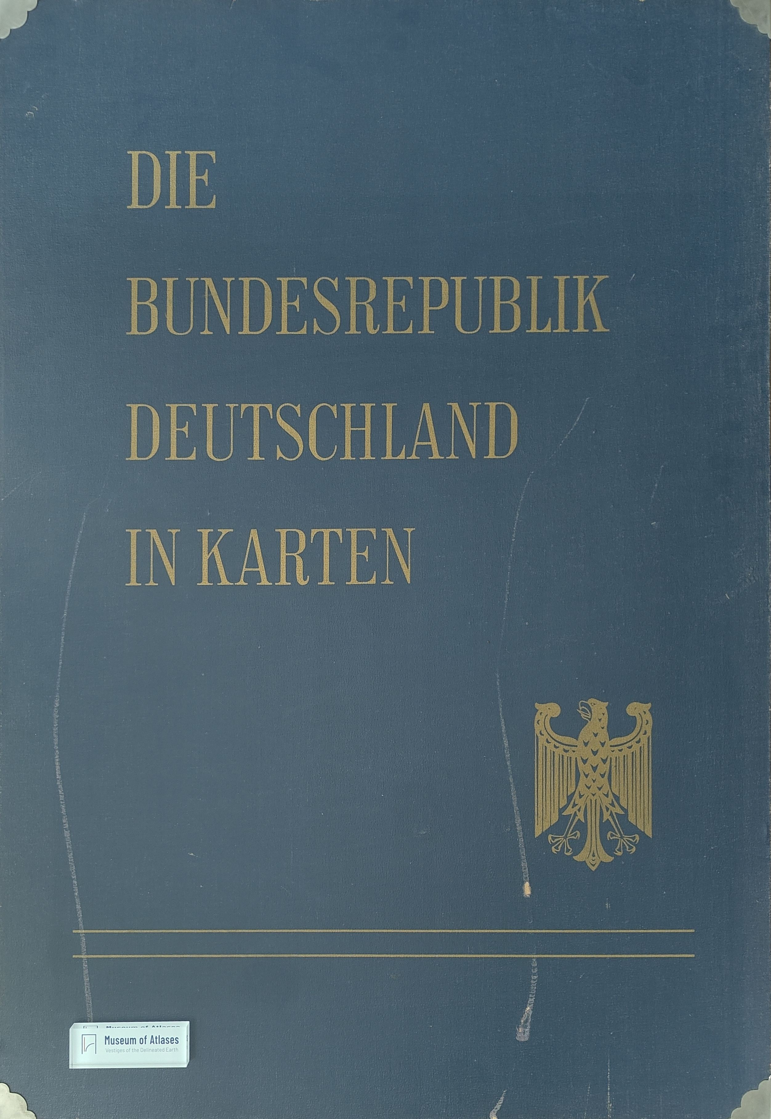
A thematic atlas of the Federal Republic of Germany
Ein thematischer Atlas der Bundesrepublik Deutschland
- Publication
- Kartographische Nachrichten
- Volume
- 21
- Issue
- 1
- Pages
- 25–27
Summary
This review evaluates Die Bundesrepublik Deutschland in Karten, a thematic atlas issued in installments from 1966 and completed in 1970 by the Federal Statistical Office and federal institutes for regional geography and spatial planning. Although not formally conceived as a national atlas, the work provides a nationwide statistical-cartographic inventory centered on the censuses around 1960 and supplemented by maps of physical geography and spatial structure. Its ninety loose sheets employ mainly scales of 1:1,000,000, 1:2,000,000, and 1:2,700,000. The largest scale permits municipalities to remain identifiable but produces an unwieldy format that is too large for desk use and too small for conventional wall-map viewing. The atlas is organized into five divisions: general surveys and administrative boundaries; natural conditions; population, health, and education; economy; and spatial regionalization. The review examines the thematic coverage and cartographic methods of each division. Particular strengths include detailed census-based population maps, comparisons of demographic change, municipal socioeconomic typologies, representations of built-up areas, agricultural land-use systems, transport networks, and three major synthetic maps depicting natural regions, economic-geographical divisions, and central places. The combination of relative and absolute statistical representations and the preservation of municipality-level detail demonstrate considerable methodological and technical achievement. Nevertheless, coverage is uneven. Geological, mineral-resource, and temperature maps are absent; the announced education section was omitted entirely; and mining, industry, retail, and tourism receive comparatively limited treatment. Agricultural statistics are extensively mapped, but synthesis is rare, while some planning maps risk misinterpretation because relevant state and district authorities are not shown. More fundamentally, the analytical maps stand largely unconnected: explanatory texts, thematic cross-references, and multilingual summaries would have made the atlas more coherent and accessible. Despite these shortcomings, the atlas is judged an exceptional cartographic and organizational accomplishment. Its rapid production reflects effective cooperation among several public institutions, and its announced continuation in a revised form offers an opportunity to correct structural imbalances and strengthen interpretation.
Related Atlases
Comments
Loading...
0/2000