
Australia's Resources Atlas
- Publication
- Cartography
- Volume
- 4
- Issue
- 2
- Pages
- 60-65
Summary
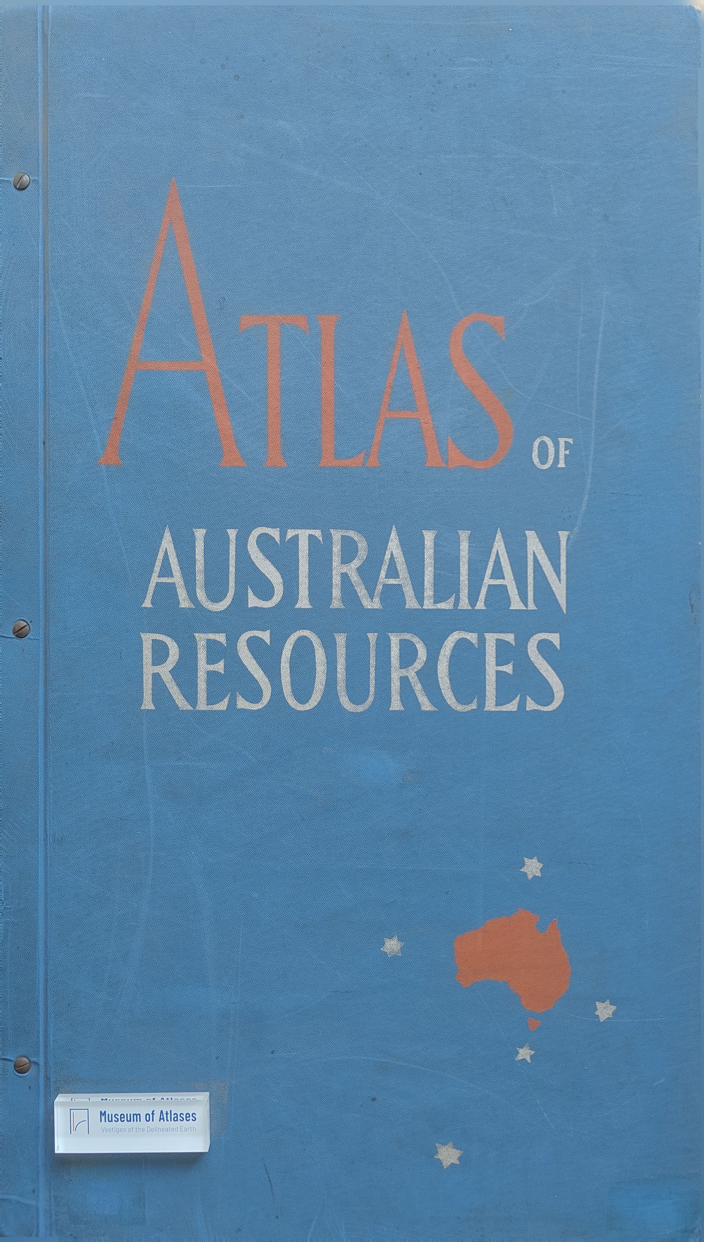
This article documents the conception, production, contents, and significance of the first edition of the Atlas of Australian Resources, Australia’s first national atlas. Formally undertaken by the Department of National Development in 1951 and completed in 1960, the project produced thirty map sheets containing eighty-two maps. Twenty-five sheets carried single maps of Australia at 1:6,000,000, while the remainder presented multiple smaller-scale maps. Each sheet was accompanied by a substantial commentary comprising explanatory text, statistical tables, diagrams, and supplementary maps. The Atlas was prepared by a compact team of geographers and cartographic draughtsmen, never exceeding seven members, but depended heavily on data and expert contributions from Commonwealth and State agencies, territorial administrations, universities, research bodies, and private organisations. Because information for a continent of nearly three million square miles was dispersed among institutions using different recording and presentation systems, assembling consistent national datasets was often one of the most demanding tasks. The compilers sought a practical compromise between comprehensive reference coverage and visual clarity, favouring information of enduring significance while avoiding excessive detail. Methods of representation were tested particularly in areas of dense information or limited knowledge, and new symbols or techniques were adopted only when their advantages outweighed problems of unfamiliarity and reduced comparability. The article describes the full cartographic workflow, including data selection, compilation drawings, circulation of proofs, colour planning, fair drawing on Astralon, photographic reduction, preparation of colour separations and masks, plate making, and multicolour offset printing. The use of nine printers made stylistic uniformity difficult, while early photographic reduction introduced errors; later preparation at publication scale improved registration and allowed plates to be produced more directly from the drawings. The Atlas addressed a broad range of subjects, including geology, soils, vegetation, water conservation, land use, crops, livestock, forests, energy, manufacturing, population distribution and change, immigration, railways, roads, aerodromes, ports, shipping, education, health services, administrative divisions, and major development projects. Depending on the subject, its maps employed area tints, coloured dots, proportional circles, halftone spheres, bar diagrams, and sets of smaller maps. Collectively, they revealed the concentration of agriculture, manufacturing, services, and population along Australia’s eastern and southern margins and in the south-west, contrasted with the sparse settlement and incomplete information characteristic of much of the interior. The author concludes that the Atlas brought together and standardised information that had previously been inaccessible or nationally incomparable, while also exposing important geographical and thematic gaps in knowledge. Although generalisation at the chosen scale restricted its direct usefulness for detailed planning, its principal achievement was to provide a convenient, intelligible, and wide-ranging national reference. Its growing use in Australia and overseas demonstrated its value for research, education, policy context, and general consultation, while the experience gained supported later revisions and the preparation of maps on additional topics.
Related Atlases
Comments
Loading...
0/2000