
On the history of the national atlases of Poland
Zur Geschichte der Nationalatlanten Polens
- Publication
- Kartographische Nachrichten
- Volume
- 46
- Issue
- 1
- Pages
- 5-7
Summary
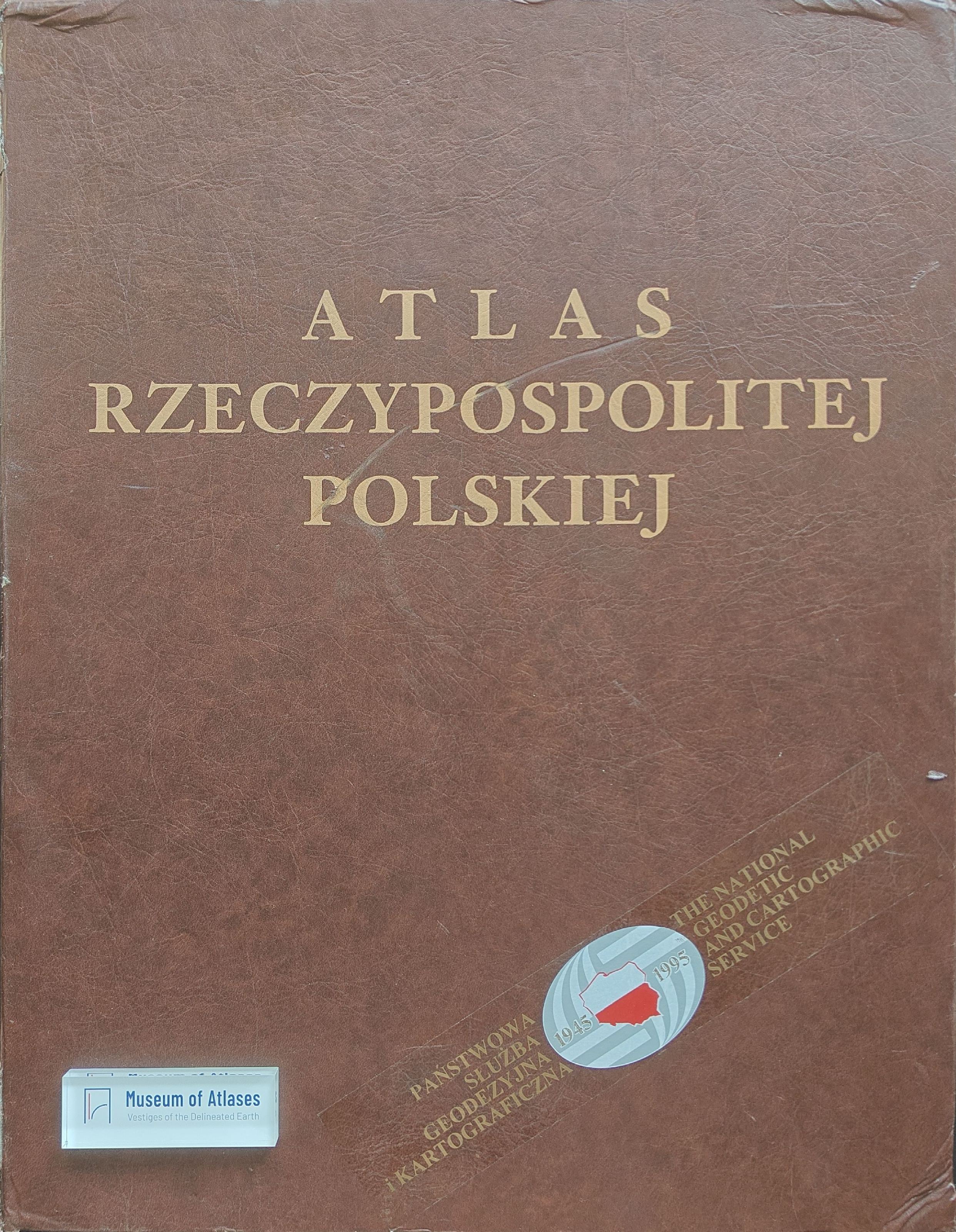
This article traces the development of Polish national atlases from the early twentieth century to the 1990s, emphasizing their scholarly aims, cartographic characteristics, and dependence on changing political and institutional conditions. Using a historical review and comparative examination of successive atlas projects, it discusses Eugeniusz Romer’s 1916 Geographical-Statistical Atlas of Poland, the statistical atlases issued between the world wars, the wartime English-language atlas, and several postwar initiatives. The early works documented demographic, economic, and political-geographical structures, but their omission of the natural environment, incomplete thematic coverage, or outdated data prevented them from qualifying as national atlases in the strict sense. Postwar projects begun in 1945 and renewed in the 1950s were curtailed because censorship and restricted access to socioeconomic statistics made comprehensive publication impossible. The decisive initiative began in 1956 and produced the National Atlas of Poland in four installments between 1973 and 1978. Based largely on conditions and administrative divisions in 1970, it comprised 127 plates, 634 maps, and 110 diagrams covering introductory geography, the natural environment, population, economic sectors, services, and sociocultural structures. Its thematic breadth, principal scale of 1:2 million, and varied quantitative and qualitative mapping methods made it both a scientific reference work and a public source of national information. Strong public demand, together with the rapid obsolescence of some maps, prompted a successor project. Although Poland’s political, economic, and social transformation in 1989–1992 caused delays, work on the Atlas of the Republic of Poland resumed after a new agreement in 1992. The history demonstrates that national atlas production reflects advances in geography and cartography while remaining strongly shaped by territorial change, administrative reform, data accessibility, censorship, and political transformation.
Related Atlases
Comments
Loading...
0/2000