
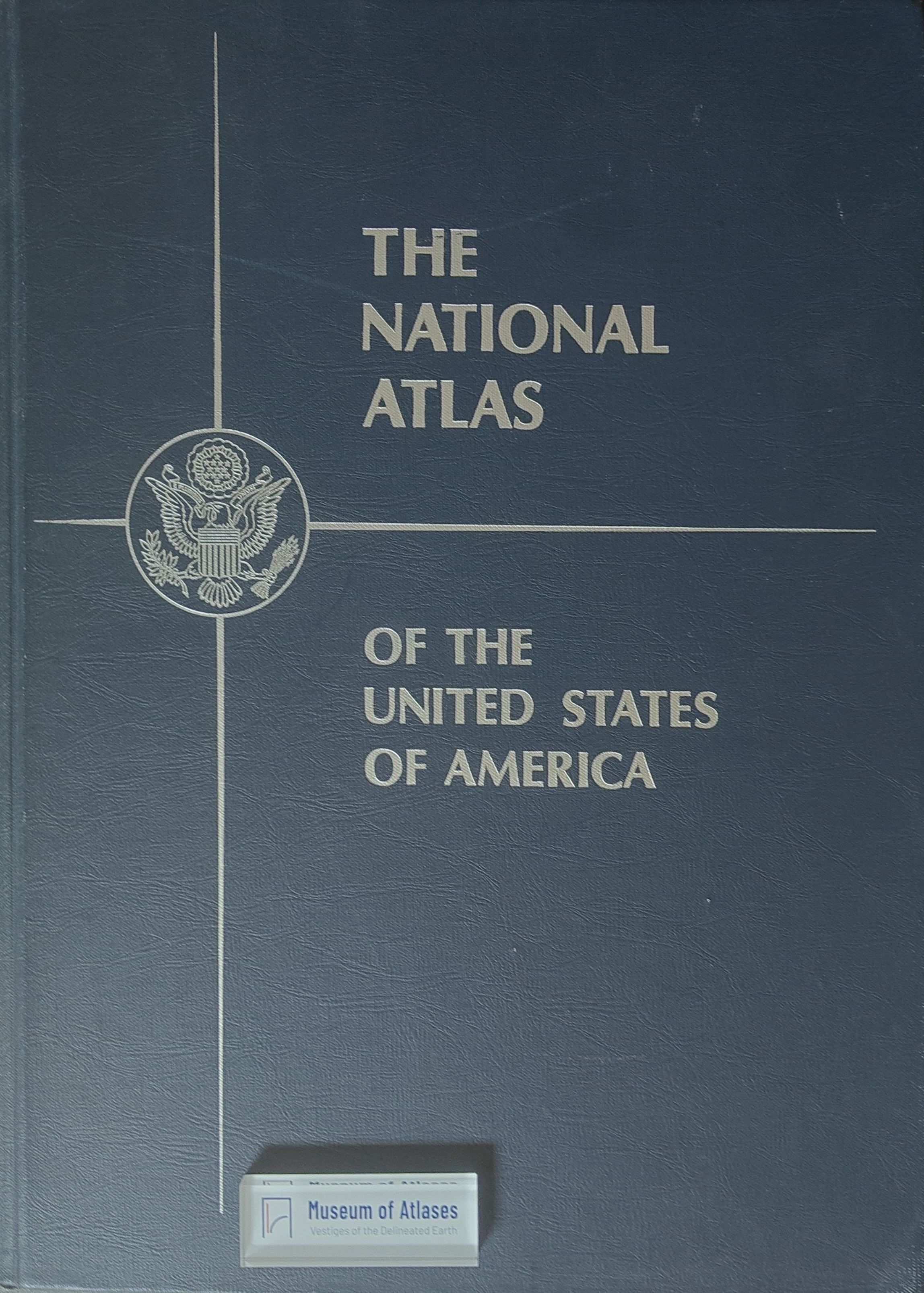
The National Atlas of the United States
- Publication
- Surveying and Mapping
- Volume
- 31
- Issue
- 4
- Pages
- 621
Summary
This article introduces the scope, production, structure, and significance of The National Atlas of the United States. Compiled by the U.S. Geological Survey through nearly a decade of planning and cooperation with over 80 federal agencies and numerous specialists, the atlas systematically represents the nation’s physical environment, historical development, economy, population, administrative divisions, and cartographic coverage. The 431-page volume includes 336 pages of multicolored thematic maps, 21 regional maps, and a gazetteer containing more than 41,000 place names with coordinates and reference information. Its maps depict subjects ranging from geology, climate, vegetation, and resources to exploration, warfare, industry, transportation, and presidential elections. Combining comprehensive geographic information with notable cartographic artistry, the atlas constitutes an authoritative reference on the natural features and human activities of the United States. Selected maps are also available separately.
Related Atlases
Comments
Loading...
0/2000