
The Development of Cartography over the past 30 Years in the People's Republic of China
- Publication
- International Yearbook of Cartography
- Volume
- 20
- Pages
- 37-44
Summary
This paper reviews the development of cartography in the People’s Republic of China during the three decades following its establishment in 1949, while situating modern achievements within the country’s long mapping tradition. Chinese cartographic practice can be traced to the Spring and Autumn and Warring States periods, as demonstrated by ancient maps excavated at Mawangdui. Pei Xiu’s “six principles of mapmaking” provided an early systematic framework for scale, spatial relationships, distance, elevation, direction, and shape, while the nationwide surveys and the Royal Complete Atlas of the early Qing dynasty marked another major historical advance. After a period of decline associated with foreign aggression and ineffective government, cartography was reorganized after 1949 as a state-supported scientific and technical enterprise. Using unified geodetic control, map projections, sheet divisions, numbering systems, and scale series, China employed photogrammetry and other modern methods to complete first-generation 1:50,000 and 1:100,000 topographic maps for almost the entire country. These maps were subsequently revised, while larger-scale surveys and new editions of national small-scale maps were undertaken. Nationwide investigations of natural resources, river basins, agriculture, and the environment also enabled rapid growth in thematic mapping. Important products covered geology and mineral resources, landforms, climate, soils, vegetation, agricultural regionalization, pollution, disease geography, coastal and marine conditions, and other scientific and socioeconomic subjects. National and regional atlases integrated these findings and supported economic development, national defence, research, education, planning, and resource management. The paper also summarizes theoretical work in map projection, cartographic generalization, geographical-name standardization, symbol design, map layout, and thematic representation. In production, increasingly rational procedures were established for compilation, fair drawing, reproduction, and printing. Technical advances included mechanical scribing, rapid symbol application, transparent lettering, plastic scribing bases, daylight coatings, dry photographic plates, diazo materials, electronic colour separation, presensitized plates, and electrostatic printing. Research on cartographic automation began in the 1960s and expanded in the 1970s. China developed graphic–digital conversion devices, digital and scanning plotters, colour-separation digitizers, and experimental lettering and stereocomparison equipment, together with software for contour generation, projection transformation, sheet layout, symbol drawing, digital editing, spatial analysis, and graphic output. These systems were applied mainly to thematic tasks such as pollution monitoring, agricultural-economic mapping, cancer surveys, and environmental evaluation. Remote sensing was increasingly used to revise medium- and small-scale general maps, produce several kinds of photomaps, and derive thematic information from multispectral, infrared, and microwave imagery combined with field investigation. It consequently became a principal method of thematic-map compilation. Overall, Chinese cartography evolved from fragmented and poorly standardized work into a coordinated, scientifically based, increasingly mechanized and partly automated national system, while international exchange was identified as essential for further progress.
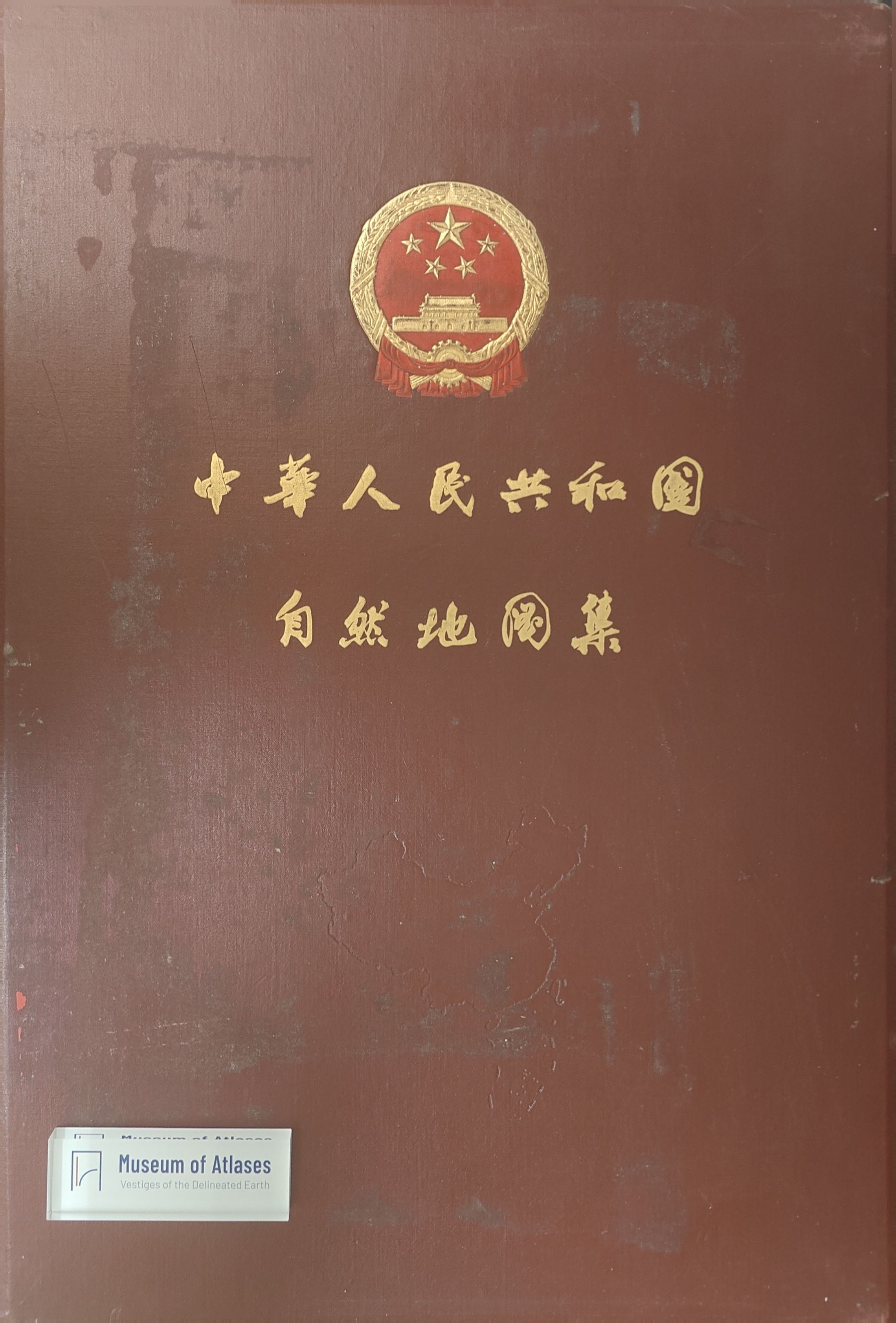
Related Atlases
Comments
Loading...
0/2000