
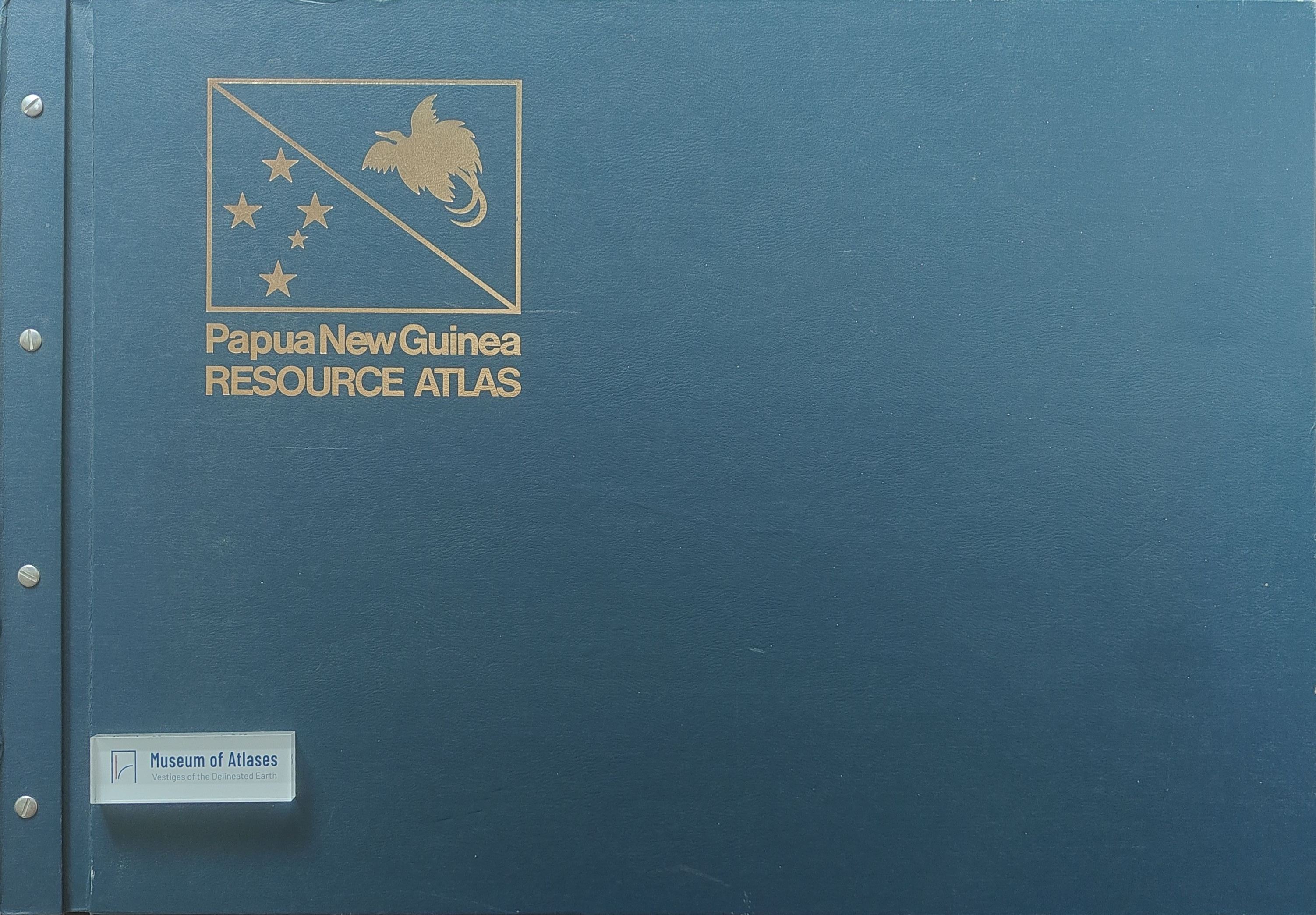
Reviews: Papua New Guinea Resource Atlas
- Publication
- Cartography
- Volume
- 10
- Issue
- 4
- Pages
- 236–237
Summary
This review assesses the Papua New Guinea Resource Atlas, edited by Edgar Ford and published in 1974 during the transition from Australian rule to independence. The atlas systematically integrates information on the country's resources and its economic, social, and political development. The reviewer notes that while the atlas's subject matter follows the earlier Ward and Lea atlas, Ford enhanced it by broadening contributor participation, employing a larger map scale (1:3,500,000), and utilizing color printing, thereby significantly increasing cartographic detail and data capacity. The atlas covers natural resources, resource utilization, economic development, transport and communications, government and administrative infrastructure, population and health, and social-cultural themes, with particularly notable maps on climate, mineral resources, and population distribution. The review identifies several shortcomings, including inconsistencies between land use potential and soil maps regarding arable land, the omission of subsistence agriculture, poor readability of the road network map, and an error in the air traffic map that omits the Madang-Wewak trunk route. Overall, the reviewer concludes that the atlas represents thematic cartography of the highest order and serves as a significant historical marker in Papua New Guinea's development, agreeing with Chief Minister Michael Somare's foreword that it is a valuable tool for geographers, economists, planners, teachers, students, and all seeking knowledge about the country.
Related Atlases
Comments
Loading...
0/2000