
← BackJournal Article
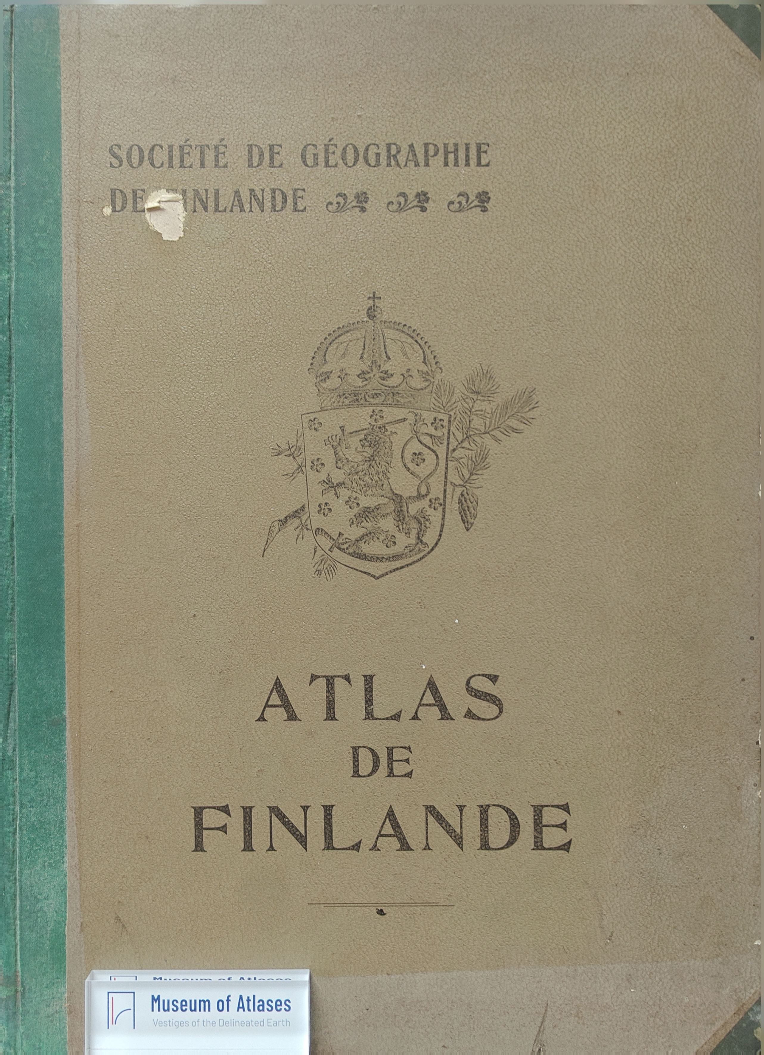
New Maps: Atlas de Finlande
By Unknown
- Publication
- The Geographical Journal
- Volume
- 14
- Issue
- 6
- Pages
- 692
Summary
The Atlas de Finlande, edited by the Geographical Society of Finland and published in Helsingfors in 1899 with government subsidy, comprises 46 maps and tables. It opens with a general map showing political boundaries, communications, and town significance, followed by physical, political, historical, and statistical maps, concluding with reproductions of maps by Olaus Magnus (1539) and Andreas Bureus (1626). Carefully compiled, it serves as a valuable reference for students and those interested in the region's geography and statistics.
Comments
Loading...
0/2000