
National atlases of the Ukrainian Soviet Socialist Republic
- Publication
- Abstracts of Papers, International Geographical Congress, Norden 1960
- Pages
- 114
Summary
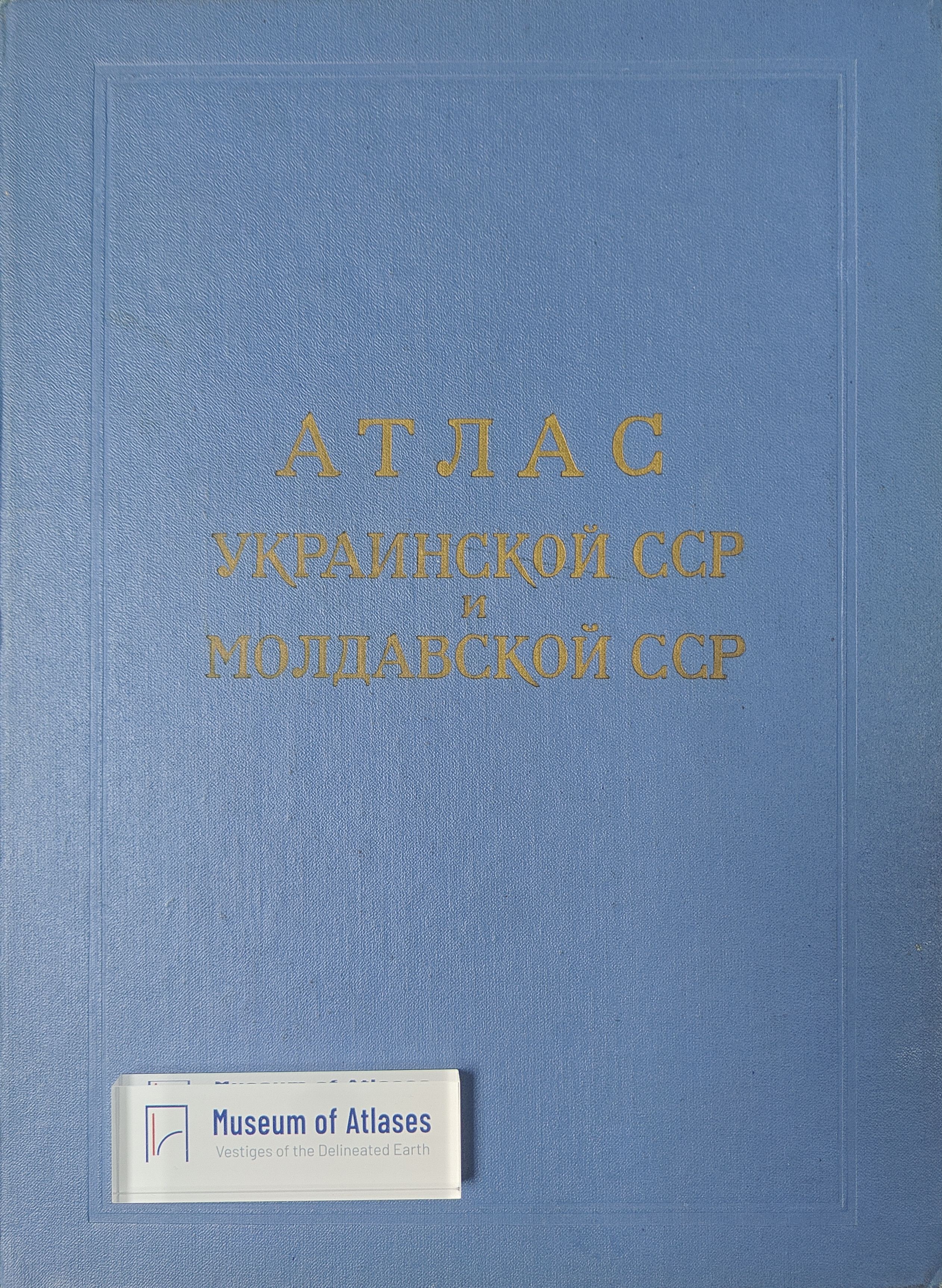
The Ukrainian Soviet Socialist Republic, founded as a sovereign state in 1917, voluntarily joined the USSR and ranks among Europe's largest countries. Ukrainian geographers and cartographers have produced various national atlases for diverse purposes. In 1957, the Geographical Faculty of Kiev State University published the Agricultural Atlas of the Ukraine (main map scale 1:4,000,000) and completed a complex atlas of the Kiev district. The Geological Institute of the Ukrainian Academy of Sciences issued a paleogeographic atlas, while the Ukrainian Hydrometeorological Research Institute published an agro-climatic atlas. The Atlas of the Ukrainian and Moldavian Republics, a major achievement, is being prepared by the Kiev cartographical factory with scientists from research institutions and Kiev State University. This general atlas contains over 100 maps for a broad readership, detailing natural conditions, economy, culture, and regional characteristics. Its dimensions are 44.5 x 28 cm on the turn and 28 x 20 cm on the back, with scales of 1:3,000,000, 1:500,000, and 1:7,000,000 for double-page maps.
Related Atlases
Comments
Loading...
0/2000